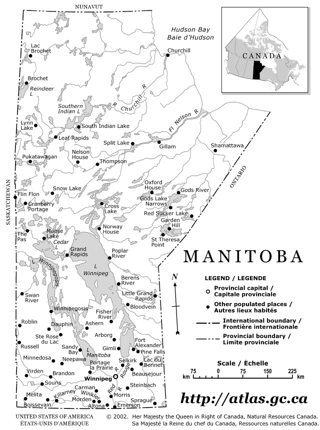
Outline province Map of Manitoba

Province map showing main cities and provincial capital of Manitoba province.
To zoom in, hover over the Outline province Map of MB Province
Download Manitoba Outline Map
Original high-resolution image: Outline Manitoba Map
Outline Manitoba Map
This outline map of Manitoba is free and available for download. You can print this province map and use it in your projects. The original source of this Outline province Map of Manitoba is: Natural Resources Canada. This downloadable map is a static image in jpg format. You can save it as an image by clicking on the Canadian map to access the original Manitoba Outline Map file. The map covers the following area: province, Manitoba, showing provincial capital and main cities of Manitoba.