
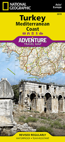
Turkey & Mediterranean Coast Adventure Map 3019 by National Geographic Maps
• Waterproof • Tear-Resistant • Travel Map
National Geographics Turkey, Mediterranean Coast Adventure Map is designed to meet the needs of adventure travelers with its detailed, accurate information and user-friendly design. Cities and towns are easy to find with the maps helpful index. Expressways, major routes, secondary routes and other roads are clearly designated and include distance in kilometers so travelers can easily plan their best route. Scenic roads, tracks, and paths are included for adventurers seeking to explore more remote regions. Hundreds of points of interest that highlight the diverse, unique, and exotic destinations within the country such as World Heritage sites, archeological sites, churches, mosques, castles, monuments, beaches, and protected areas are noted.
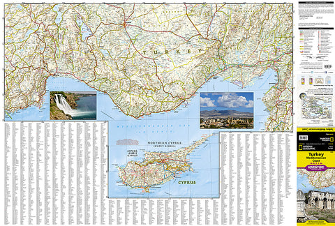
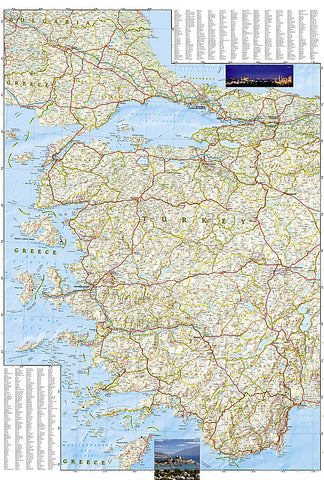
The front side details the southern coastal region of the country. This side shows the Mediterranean Sea to the south and Syria to the east. The coastline expands from Kas to Iskenderum. The reverse side of the map details Turkeys western coastal region of the country and its border with Greece and Bulgaria. This side shows the western coast from Sea of Marmara down to the Mediterranean Sea.
Every Adventure Map is printed on durable synthetic paper, making them waterproof, tear-resistant and tough - capable of withstanding the rigors of international travel.
Map Scale = 1:760,000
- Product Number: 2059761M
- Product Code: NG_AM_TUR_COAST
- Publisher Product ID: AD00003019
- ISBN: 9781566956123
- Year of Publication: 2012
- Folded Size: 9.45 x 4.33 inches
- Unfolded Size: 35.83 x 24.8 inches
- Map type: Folded Map
- Geographical region: Turkey


