
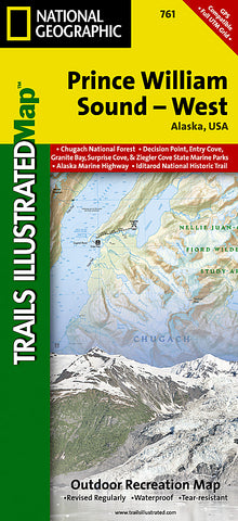
Prince William Sound, West, Alaska, Map 761 by National Geographic Maps
Click to Zoom (high resolution)
• Waterproof • Tear-Resistant • Topographic Map
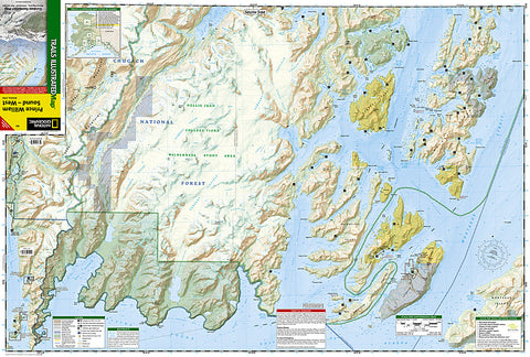
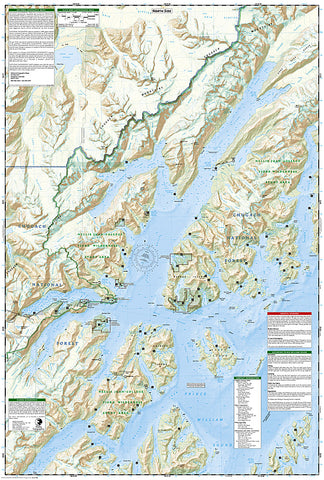
Coverage includes Chugach National Forest, Nellie Juan-College Fjord Wilderness Study Area, Granite Bay, South Esther Island, Surprise Cove, Decision Point, Entry Cove, Ziegler Cave and Bettles Bay state marine parks. Whittier and Chenega. Knight, Latouche, Elrington, Evans, Bainbridge, Culross, Esther and Perry islands; Port Wells, Port Nellie Juan and Port Bainbridge; Harriman, College ad Blue fjords. Includes selected anchorages and kayak landings. Includes UTM tick marks for use with your GPS unit.
Map Scale = 1:110,000
- Product Number: 2034524M
- Product Code: TI_AK_PWS_W
- Publisher Product ID: TI00000761
- ISBN: 9781566954204
- Year of Publication: 2008
- Folded Size: 9.45 x 4.330 inches
- Unfolded Size: 24.8 x 37.01 inches
- Map type: Folded Map
- Geographical region: Alaska


