
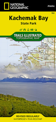
Kachemak Bay State Park, Alaska, Map 763 by National Geographic Maps
Click to Zoom (high resolution)
• Waterproof • Tear-Resistant • Topographic Map
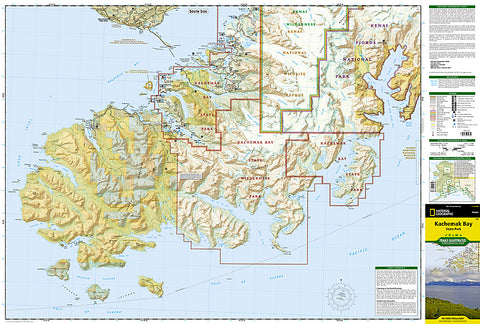
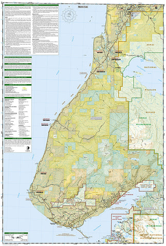
Coverage includes: Kachemak Bay State Park; Kachemak Bay State Wilderness Park; Kenai National Wildlife Refuge; Kenai Fjords NP; Kenai Wilderness; Crooked Creek, Kasilof River and Stariski State Recreation Site. Anchor River Johnson Lake, Ninilchik and Clam Gulch State Recreation Area. Tustumena Lake. Anchor River, Fritz Creek, Clam Gulch, Deep Creek Recreation Area, Fox River Flats State Critical Habitat Area. Kachemak Bay State Critical Habitat Area and National Estuarine Research Reserve. Detail maps of Halibut Cove Lagoon, Seldovia, and Homer. Includes UTM tick marks for use with your GPS unit.
Map Scale = 1:110,000
- Product Number: 2034518M
- Product Code: TI_AK_KACHEMA
- Publisher Product ID: TI00000763
- ISBN: 9781566950749
- Year of Publication: 1999
- Folded Size: 9.45 x 4.330 inches
- Unfolded Size: 37.01 x 24.8 inches
- Map type: Folded Map
- Geographical region: Alaska


