
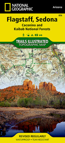
Flagstaff, Sedona, Coconino and Kaibab National Forests, Map 856 by National Geographic Maps
• Waterproof • Tear-Resistant • Topographic Map
National Geographics Flagstaff and Sedona Trails Illustrated topographic map comprehensive for outdoor enthusiasts of all types. Designed to be easy-to-read, yet highly detailed - this map includes a comprehensive road and trail network distinguishing between major, secondary, high-clearance, OHV routes, hiking, horse, biking, multi-use, motorized and non-motorized trails. All forest roads are labeled with their official road number and trails are clearly identified with their given name. Boundaries are color-coded and clearly shown for National Forest, National Monument, Ranger Districts, Wilderness Areas, State Park, State Wildlife Areas, Department of Defense, and Indian Reservation lands. Additionally, Arizona Game Management Unit (GMU) boundaries and public and private lands are clearly identified.
An extensive collection of important and unique locations are pinpointed on the map including: visitor centers, campgrounds, picnic facilities, parking areas, RV dump sites, interpretive trails, trailheads, gates, boat launches, swimming holes, lookout towers, ski areas, viewpoints, museums, and Sno-Parks.
Every National Geographic Trails Illustrated map is an essential tool for safely navigating the backcountry with GPS or compass as they are clearly marked with both Latitude/Longitude and UTM coordinate grids, compass rose with magnetic declination, scale bar, and full legend.
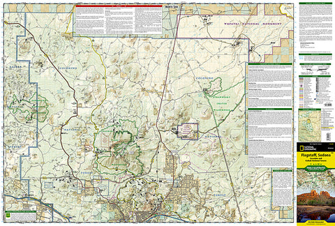
Some of the places shown on the north side of the Flagstaff and Sedona map include: Coconino National Forest, Kendrick Mountain Wilderness, Kachina Peaks Wilderness, Strawberry Crater Wilderness, San Francisco Peaks, Cinder Hills OHV Area, Wupatki National Monument, Sunset Crater - Volcano National Monument, Flagstaff, Arizona Trail, and more.
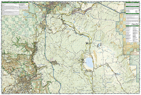
The south side of the map features: Coconino National Forest, Red Rock Secret Mountain Wilderness, Munds Mountain Wilderness, Walnut Canyon National Monument, Flagstaff, Historic Route 66, Arizona Trail, Ashurst Lake, Upper and Lower Lake Mary, and more.
- Product Number: 2053325M
- Product Code: TI_FLAGSTAFF
- Publisher Product ID: TI00000856
- ISBN: 9781566955157
- Year of Publication: 2010
- Folded Size: 9.45 x 4.33 inches
- Unfolded Size: 24.8 x 37.01 inches
- Map type: Folded Map
- Geographical region: Arizona


