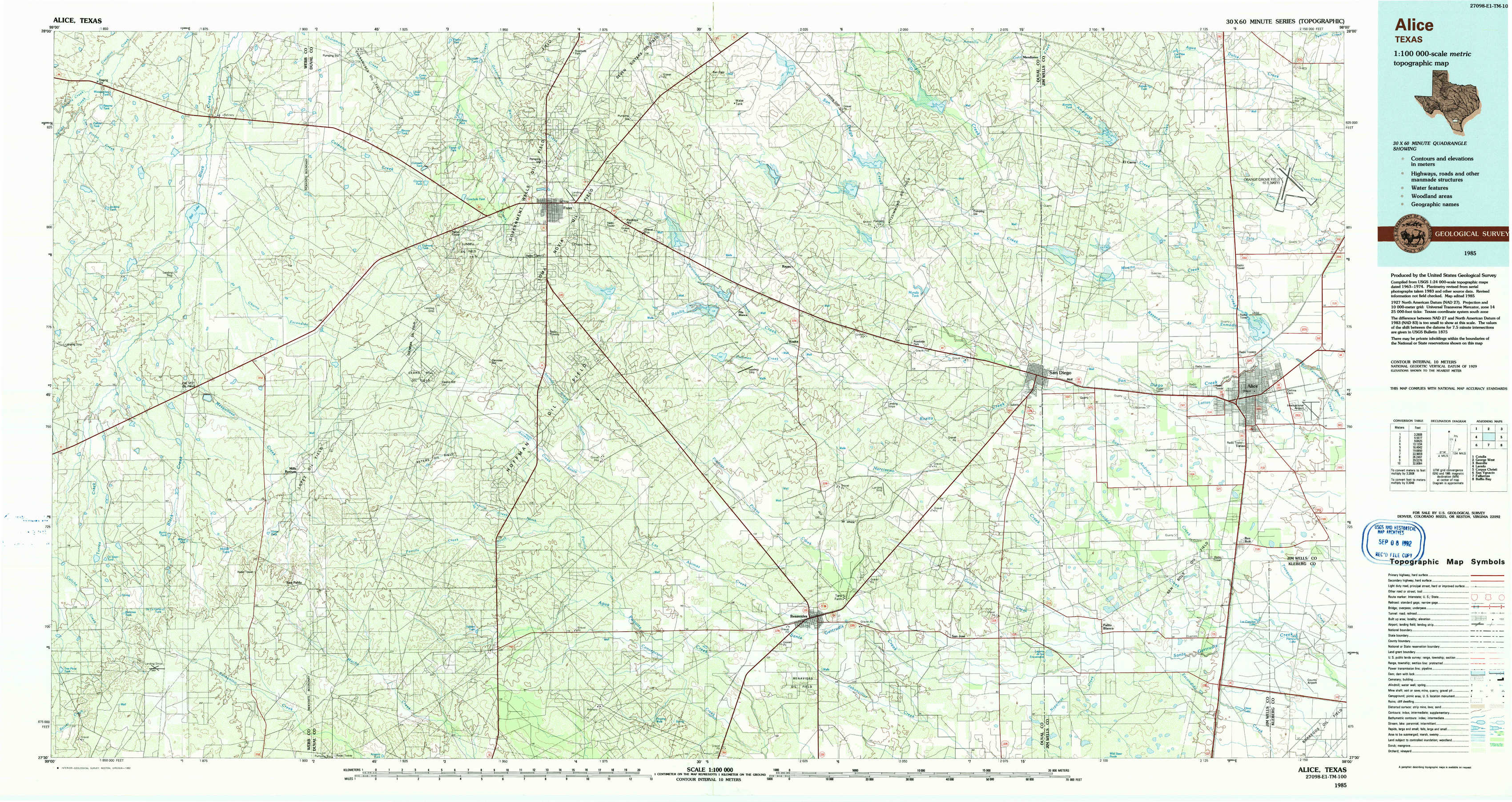
Alice Topo Map Texas
To zoom in, hover over the map of Alice
USGS Topo Map 27098e1 - 1:100,000 scale
| Topo Map Name: | Alice |
| USGS Topo Quad ID: | 27098e1 |
| Print Size: | ca. 39" wide x 24" high |
| Southeast Coordinates: | 27.5° N latitude / 98° W longitude |
| Map Center Coordinates: | 27.75° N latitude / 98.5° W longitude |
| U.S. State: | TX |
| Filename: | 27098e1.jpg |
| Download Map JPG Image: | Alice topo map 1:100,000 scale |
| Map Type: | Topographic |
| Topo Series: | 30´x60´ |
| Map Scale: | 1:100,000 |
| Source of Map Images: | United States Geological Survey (USGS) |
| Alternate Map Versions: |
Alice TX 1985, updated 1985 Download PDF Buy paper map Alice TX 1985, updated 1992 Download PDF Buy paper map |
1:100,000 Topos surrounding Alice
Cotulla |
George West |
Beeville |
Laredo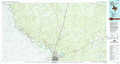 |
Alice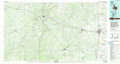 |
Corpus Christi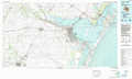 |
San Ygnacio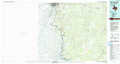 |
Falfurrias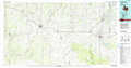 |
Baffin Bay |
> Back to 27098a1 at 1:250,000 scale
> Back to U.S. Topo Maps home
1:24,000 Topo Quads covered by the spatial extent of this 100k map (Alice)
|
Biel Lake North 
|
Biel Lake Ne 
|
Freer Nw 
|
Freer North 
|
Rosita Nw 
|
Rosita Ne 
|
Shaeffer Ranch 
|
San Diego Ne 
|
|
Biel Lake South 
|
Biel Lake Se 
|
Sarnosa Hill 
|
Freer South 
|
Rosita 
|
Rosita Se 
|
San Diego 
|
Alice North 
|
|
Mills Bennett Nw 
|
Mills Bennett 
|
Parrilla Creek Nw 
|
Parrilla Creek Ne 
|
Benavides Nw 
|
Benavides Ne 
|
Ben Bolt Nw 
|
Alice South 
|
|
Mills Bennett Sw 
|
San Pablo 
|
Parrilla Creek Sw 
|
Parrilla Creek Se 
|
Benavides 
|
San Jose 
|
Palito Blanco 
|
Ben Bolt Se 
|