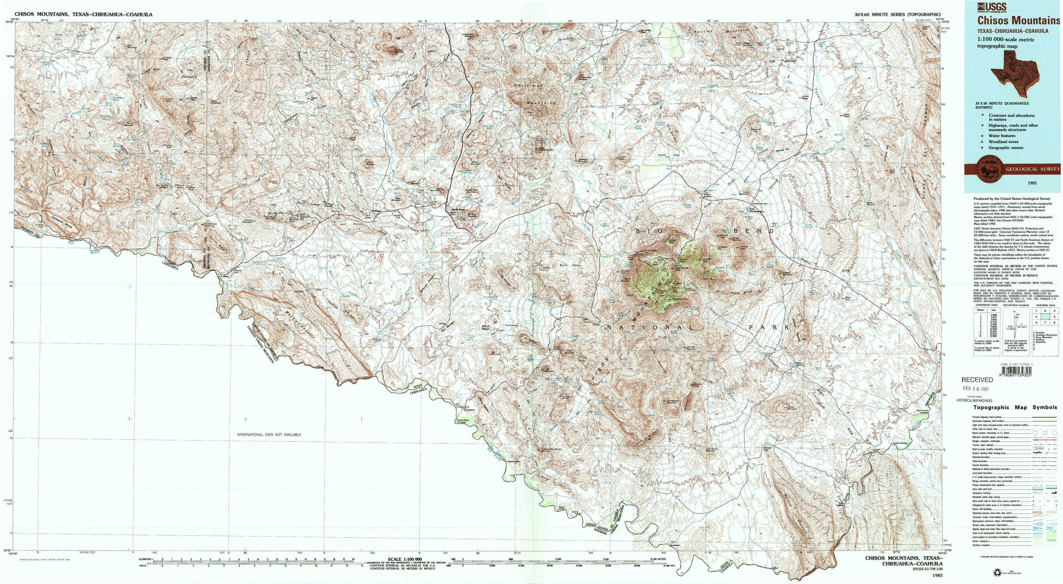
Chisos Mountains Topo Map Texas
To zoom in, hover over the map of Chisos Mountains
USGS Topo Map 29103a1 - 1:100,000 scale
| Topo Map Name: | Chisos Mountains |
| USGS Topo Quad ID: | 29103a1 |
| Print Size: | ca. 39" wide x 24" high |
| Southeast Coordinates: | 29° N latitude / 103° W longitude |
| Map Center Coordinates: | 29.25° N latitude / 103.5° W longitude |
| U.S. State: | TX |
| Filename: | 29103a1.jpg |
| Download Map JPG Image: | Chisos Mountains topo map 1:100,000 scale |
| Map Type: | Topographic |
| Topo Series: | 30´x60´ |
| Map Scale: | 1:100,000 |
| Source of Map Images: | United States Geological Survey (USGS) |
| Alternate Map Versions: |
Chisos Mountains TX 1985, updated 1985 Download PDF Buy paper map Chisos Mountains TX 1985, updated 1993 Download PDF Buy paper map Chisos Mountains TX 1985, updated 1993 Download PDF Buy paper map |
1:100,000 Topos surrounding Chisos Mountains
Presidio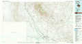 |
Santiago Mountains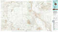 |
Dove Mountain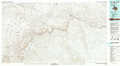 |
Redford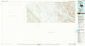 |
Chisos Mountains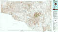 |
Boquillas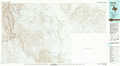 |
Mariscal Canyon |
> Back to 29102a1 at 1:250,000 scale
> Back to U.S. Topo Maps home
1:24,000 Topo Quads covered by the spatial extent of this 100k map (Chisos Mountains)
|
Sauceda Ranch 
|
The Solitario 
|
Yellow Hill 
|
Hen Egg Mountain 
|
Christmas Mountains 
|
Sombero Peak 
|
Grapevine Hills 
|
Mckinney Springs 
|
|
Santana Mesa 
|
Lajitas 
|
Amarilla Mountain 
|
Terlingua 
|
Tule Mountain 
|
The Basin 
|
Panther Junction 
|
Roys Peak 
|
|
Mesa De Anguila 
|
Castolon 
|
Cerro Castellan 
|
Emory Peak 
|
Glenn Spring 
|
San Vincente 
|
||
|
Smoky Creek 
|
Reed Camp 
|
Mariscal Mountain 
|
Solis 
|