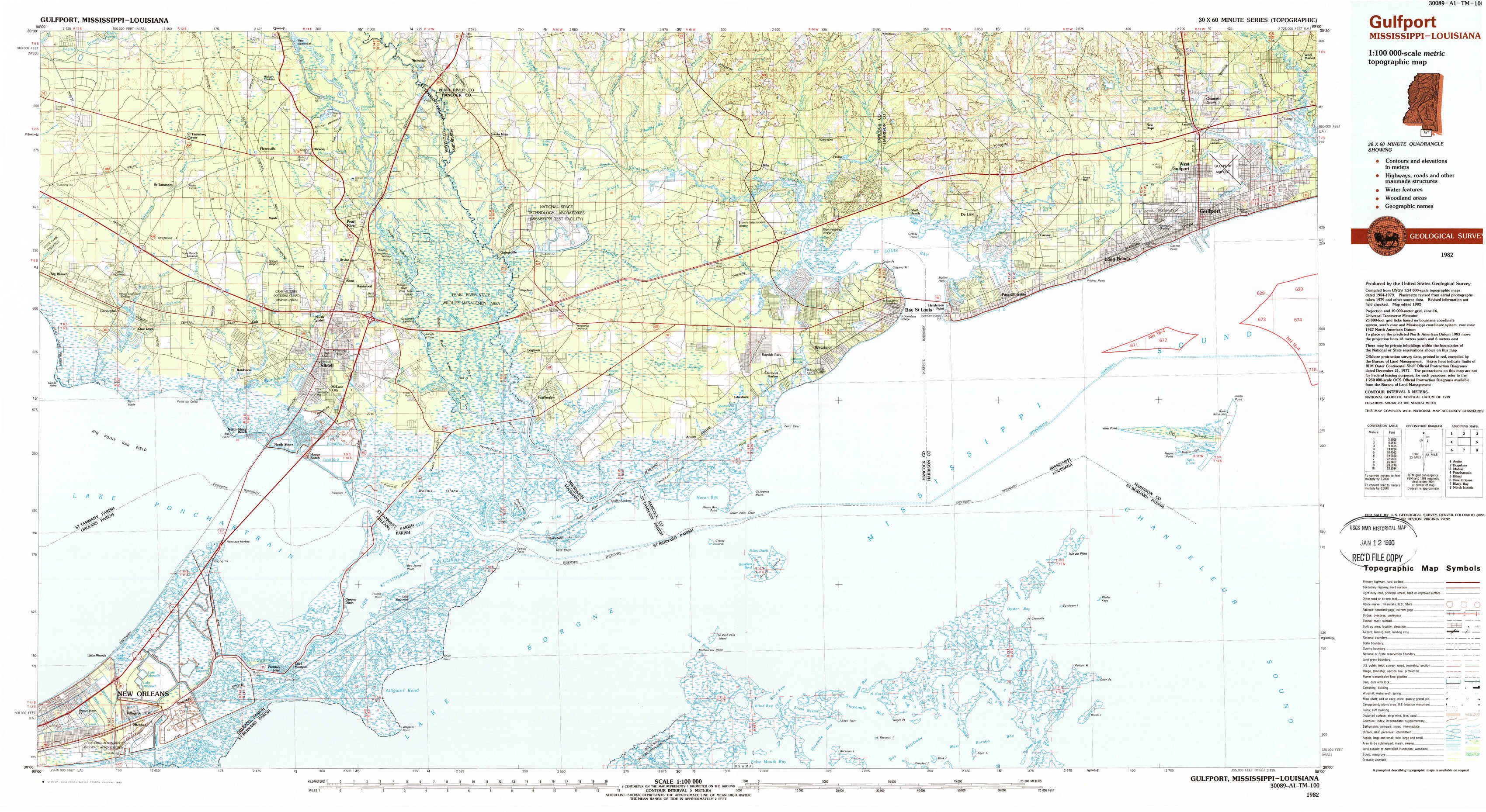
Gulfport Topo Map Mississippi
To zoom in, hover over the map of Gulfport
USGS Topo Map 30089a1 - 1:100,000 scale
| Topo Map Name: | Gulfport |
| USGS Topo Quad ID: | 30089a1 |
| Print Size: | ca. 39" wide x 24" high |
| Southeast Coordinates: | 30° N latitude / 89° W longitude |
| Map Center Coordinates: | 30.25° N latitude / 89.5° W longitude |
| U.S. States: | MS, LA |
| Filename: | 30089a1.jpg |
| Download Map JPG Image: | Gulfport topo map 1:100,000 scale |
| Map Type: | Topographic |
| Topo Series: | 30´x60´ |
| Map Scale: | 1:100,000 |
| Source of Map Images: | United States Geological Survey (USGS) |
| Alternate Map Versions: |
Gulfport MS 1982, updated 1983 Download PDF Buy paper map Gulfport MS 1982, updated 1983 Download PDF Buy paper map |
1:100,000 Topos surrounding Gulfport
Amite |
Bogalusa |
Mobile |
Ponchatoula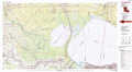 |
Gulfport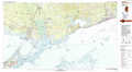 |
Biloxi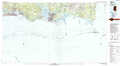 |
New Orleans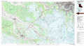 |
Black Bay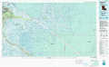 |
North Islands |
> Back to 30088a1 at 1:250,000 scale
> Back to U.S. Topo Maps home
1:24,000 Topo Quads covered by the spatial extent of this 100k map (Gulfport)
|
Saint Tammany 
|
Hickory 
|
Nicholson 
|
Dead Tiger Creek 
|
Kiln 
|
Vidalia 
|
Gulfport Nw 
|
Gulfport North 
|
|
Lacombe 
|
Slidell 
|
Haaswood 
|
Logtown 
|
Waveland 
|
Bay Saint Louis 
|
Pass Christian 
|
Gulfport South 
|
|
South Point 
|
North Shore 
|
Rigolets 
|
English Lookout 
|
Grand Island Pass 
|
Isle Au Pitre 
|
Cat Island 
|
|
|
Little Woods 
|
Chef Menteur 
|
Alligator Point 
|
False Mouth Bayou 
|
Malheureux Point 
|
Three Mile Bay 
|
Door Point 
|