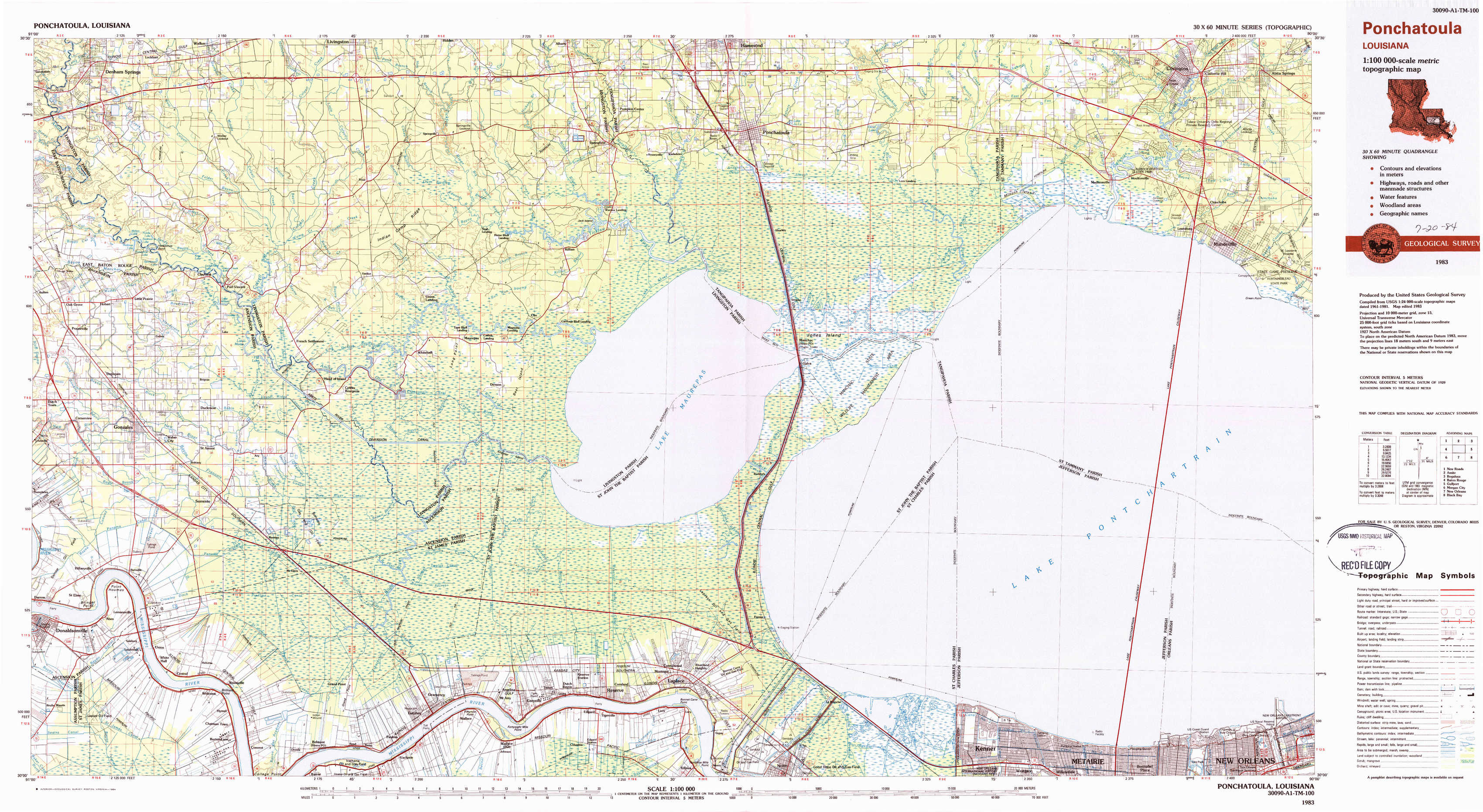
Ponchatoula Topo Map Louisiana
To zoom in, hover over the map of Ponchatoula
USGS Topo Map 30090a1 - 1:100,000 scale
| Topo Map Name: | Ponchatoula |
| USGS Topo Quad ID: | 30090a1 |
| Print Size: | ca. 39" wide x 24" high |
| Southeast Coordinates: | 30° N latitude / 90° W longitude |
| Map Center Coordinates: | 30.25° N latitude / 90.5° W longitude |
| U.S. State: | LA |
| Filename: | 30090a1.jpg |
| Download Map JPG Image: | Ponchatoula topo map 1:100,000 scale |
| Map Type: | Topographic |
| Topo Series: | 30´x60´ |
| Map Scale: | 1:100,000 |
| Source of Map Images: | United States Geological Survey (USGS) |
| Alternate Map Versions: |
Ponchatoula LA 1983, updated 1984 Download PDF Buy paper map Ponchatoula LA 1983, updated 1984 Download PDF Buy paper map |
1:100,000 Topos surrounding Ponchatoula
New Roads |
Amite |
Bogalusa |
Baton Rouge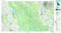 |
Ponchatoula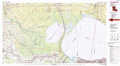 |
Gulfport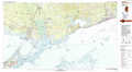 |
Morgan City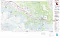 |
New Orleans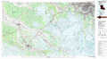 |
Black Bay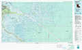 |
> Back to 30090a1 at 1:250,000 scale
> Back to U.S. Topo Maps home
1:24,000 Topo Quads covered by the spatial extent of this 100k map (Ponchatoula)
|
Denham Springs 
|
Walker 
|
Frost 
|
Springfield 
|
Ponchatoula 
|
Ponchatoula Ne 
|
Madisonville 
|
Covington 
|
|
Prairieville 
|
French Settlement 
|
Whitehall 
|
Killian 
|
Manchac 
|
Ponchatoula Se 
|
Covington Sw 
|
Mandeville 
|
|
Gonzales 
|
Sorrento 
|
Mount Airy Nw 
|
Mount Airy Ne 
|
Ruddock 
|
Bonnett Carre Ne 
|
Spanish Fort Ne 
|
|
|
Donaldsonville 
|
Convent 
|
Lutcher 
|
Reserve 
|
Laplace 
|
La Branche 
|
Indian Beach 
|
Spanish Fort 
|