Pedernales River Topo Map Texas
To zoom in, hover over the map of Pedernales River
USGS Topo Map 30098a1 - 1:100,000 scale
| Topo Map Name: | Pedernales River |
| USGS Topo Quad ID: | 30098a1 |
| Print Size: | ca. 39" wide x 24" high |
| Southeast Coordinates: | 30° N latitude / 98° W longitude |
| Map Center Coordinates: | 30.25° N latitude / 98.5° W longitude |
| U.S. State: | TX |
| Filename: | 30098a1.jpg |
| Download Map JPG Image: | Pedernales River topo map 1:100,000 scale |
| Map Type: | Topographic |
| Topo Series: | 30´x60´ |
| Map Scale: | 1:100,000 |
| Source of Map Images: | United States Geological Survey (USGS) |
| Alternate Map Versions: |
Pedernales River TX 1985, updated 1985 Download PDF Buy paper map Pedernales River TX 1985, updated 1992 Download PDF Buy paper map |
1:100,000 Topos surrounding Pedernales River
Mason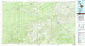 |
Llano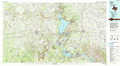 |
Taylor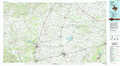 |
Kerrville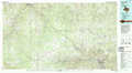 |
Pedernales River |
Austin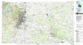 |
Bandera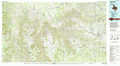 |
New Braunfels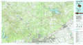 |
Seguin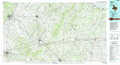 |
> Back to 30098a1 at 1:250,000 scale
> Back to U.S. Topo Maps home
1:24,000 Topo Quads covered by the spatial extent of this 100k map (Pedernales River)
|
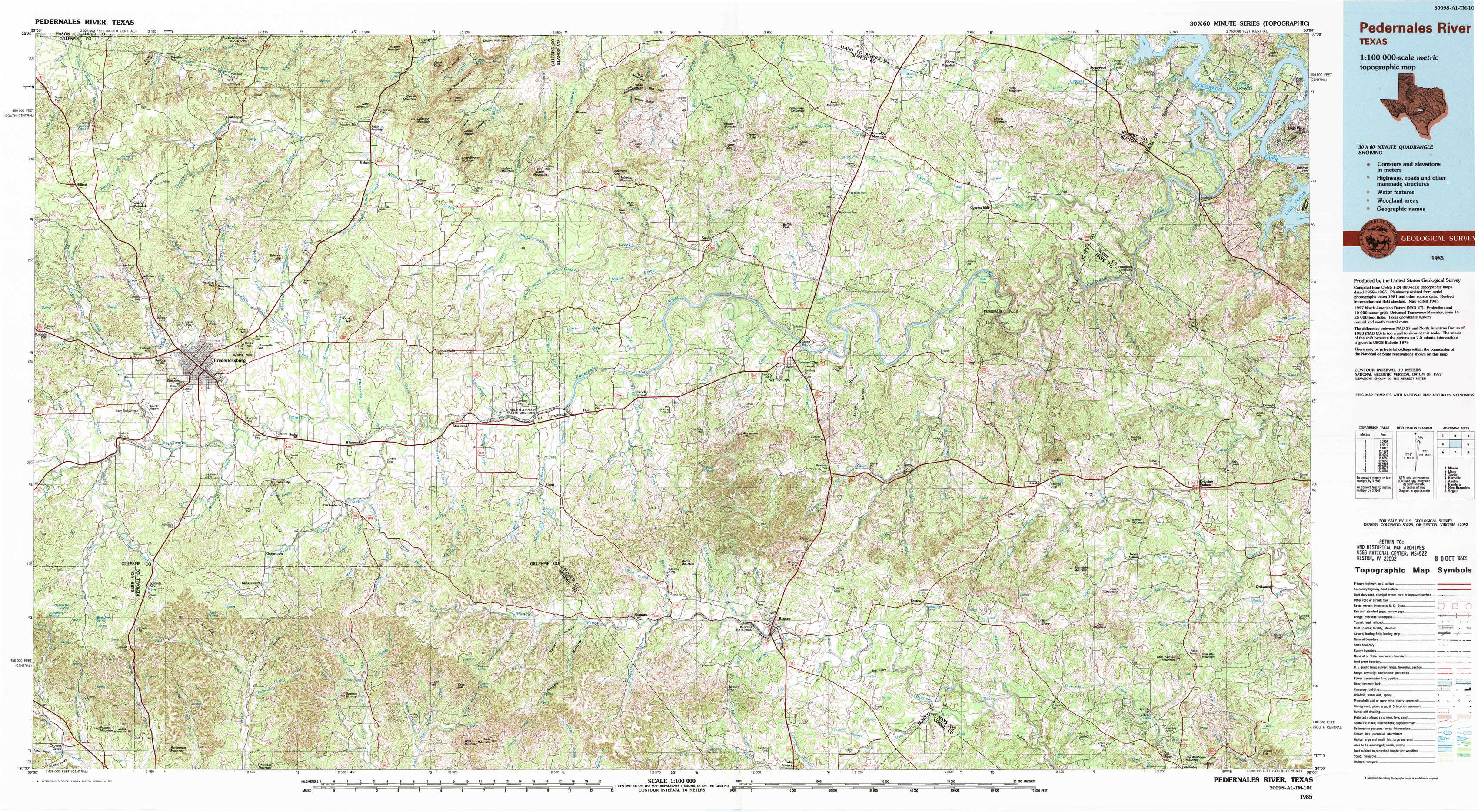
Cherry Mountain 
|
Crabapple 
|
Willow City 
|
Blowout 
|
Howell Mountain 
|
Round Mountain 
|
Spicewood 
|
Pace Bend 
|
|
Fredericksburg West 
|
Fredericksburg East 
|
Cave Creek School 
|
Rocky Creek 
|
Johnson City 
|
Pedernales Falls 
|
Hammetts Crossing 
|
Shingle Hills 
|
|
Oak Crest Park 
|
Cain City 
|
Stonewall 
|
Hye 
|
Monument Hill 
|
Yeager Creek 
|
Henly 
|
Dripping Springs 
|
|
Cypress Creek 
|
Rafter Hollow 
|
Whitworth Ranch 
|
Crabapple Creek 
|
Blanco 
|
Payton 
|
Rough Hollow 
|
Driftwood 
|