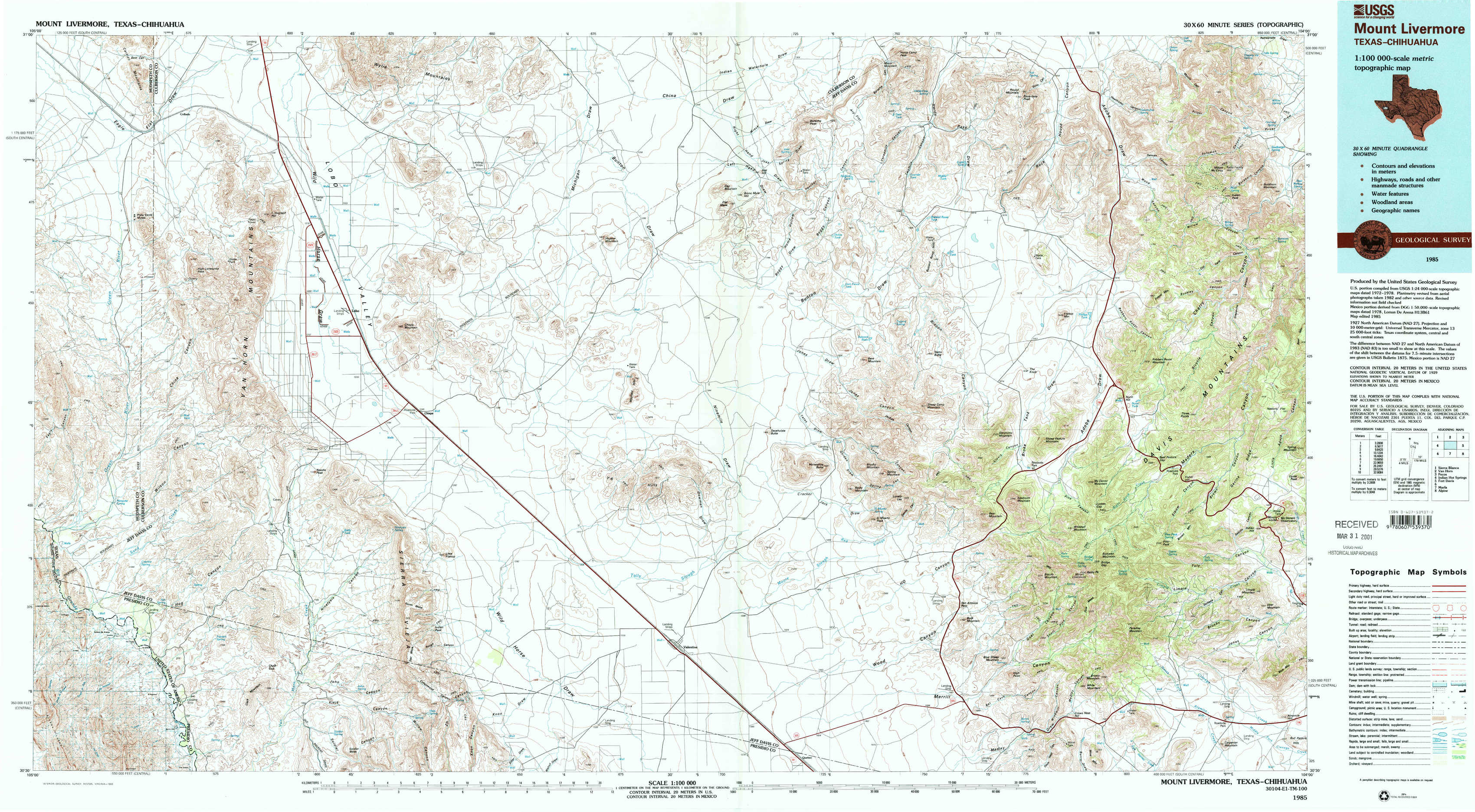
Mount Livermore Topo Map Texas
To zoom in, hover over the map of Mount Livermore
USGS Topo Map 30104e1 - 1:100,000 scale
| Topo Map Name: | Mount Livermore |
| USGS Topo Quad ID: | 30104e1 |
| Print Size: | ca. 39" wide x 24" high |
| Southeast Coordinates: | 30.5° N latitude / 104° W longitude |
| Map Center Coordinates: | 30.75° N latitude / 104.5° W longitude |
| U.S. State: | TX |
| Filename: | 30104e1.jpg |
| Download Map JPG Image: | Mount Livermore topo map 1:100,000 scale |
| Map Type: | Topographic |
| Topo Series: | 30´x60´ |
| Map Scale: | 1:100,000 |
| Source of Map Images: | United States Geological Survey (USGS) |
| Alternate Map Versions: |
Mount Livermore TX 1985, updated 1985 Download PDF Buy paper map Mount Livermore TX 1985, updated 1993 Download PDF Buy paper map Mount Livermore TX 1985, updated 1993 Download PDF Buy paper map |
1:100,000 Topos surrounding Mount Livermore
Sierra Blanca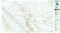 |
Van Horn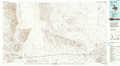 |
Pecos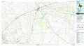 |
Indian Hot Springs |
Mount Livermore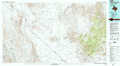 |
Fort Davis |
Marfa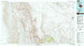 |
Alpine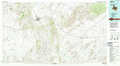 |
> Back to 30104a1 at 1:250,000 scale
> Back to U.S. Topo Maps home
1:24,000 Topo Quads covered by the spatial extent of this 100k map (Mount Livermore)
|
Bass Canyon 
|
Van Horn Wells 
|
Chispa Mountain Nw 
|
Chispa Mountain Ne 
|
Boracho Peak 
|
Herds Pass 
|
Echo Canyon 
|
Buckhorn Mountain 
|
|
Lobo Sw 
|
Lobo 
|
Chispa Mountain 
|
Mayfield Hills 
|
Boggy Draw 
|
Bare Mountain 
|
Robbers Roost Canyon 
|
Friend Mountain 
|
|
Mesquite Spring 
|
Ninetysix Ranch 
|
Chispa 
|
Dowman Canyon 
|
Horseshoe Butte 
|
El Muerto Peak 
|
Mount Livermore 
|
Mount Locke 
|
|
Bennett Ranch 
|
Soldier Spring 
|
Vieja Pass 
|
Valentine West 
|
Valentine East 
|
San Antonio Pass 
|
Paradise Mountain 
|
Blue Mountain 
|