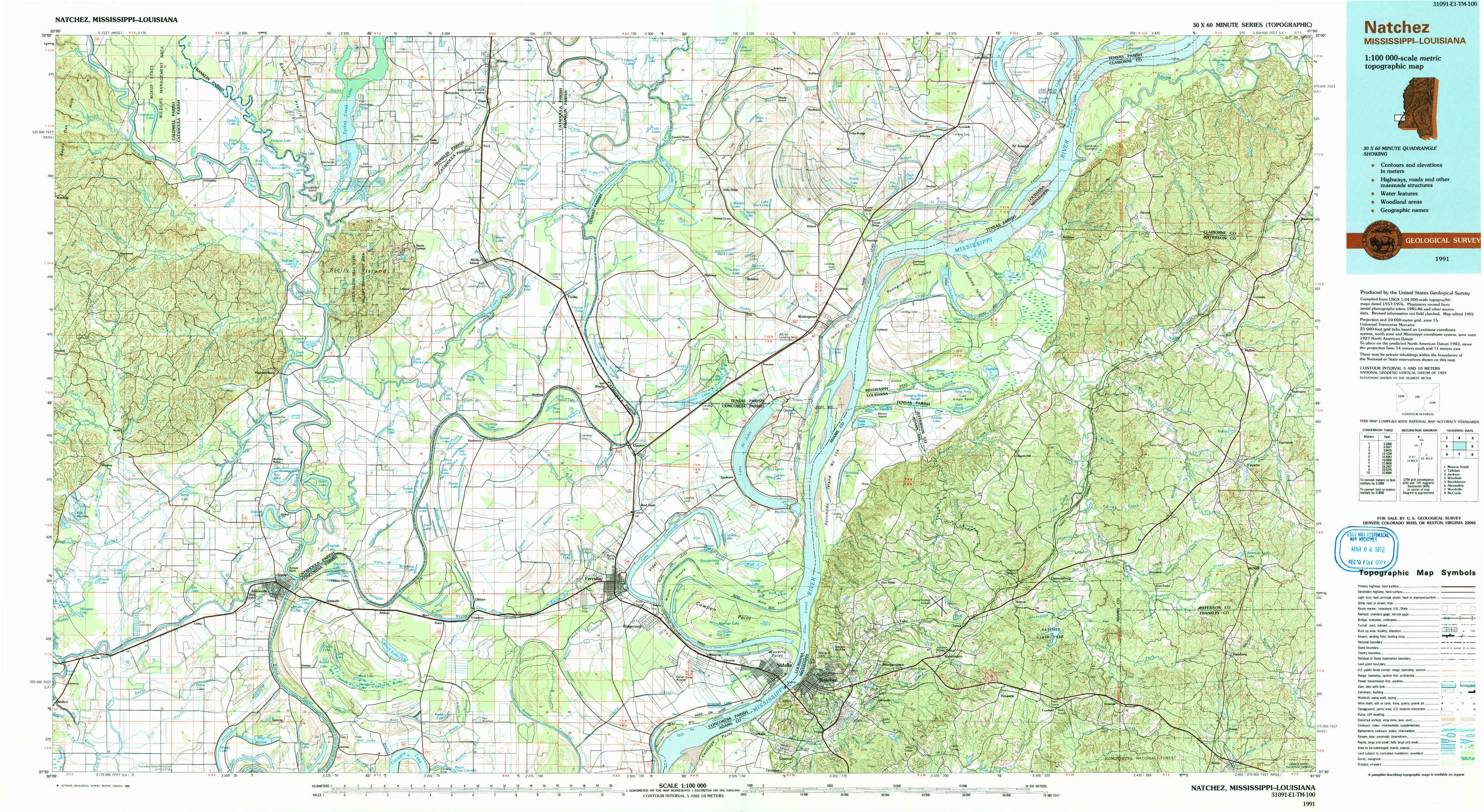
Natchez Topo Map Mississippi
To zoom in, hover over the map of Natchez
USGS Topo Map 31091e1 - 1:100,000 scale
| Topo Map Name: | Natchez |
| USGS Topo Quad ID: | 31091e1 |
| Print Size: | ca. 39" wide x 24" high |
| Southeast Coordinates: | 31.5° N latitude / 91° W longitude |
| Map Center Coordinates: | 31.75° N latitude / 91.5° W longitude |
| U.S. States: | MS, LA |
| Filename: | 31091e1.jpg |
| Download Map JPG Image: | Natchez topo map 1:100,000 scale |
| Map Type: | Topographic |
| Topo Series: | 30´x60´ |
| Map Scale: | 1:100,000 |
| Source of Map Images: | United States Geological Survey (USGS) |
| Alternate Map Versions: |
Natchez MS 1984, updated 1984 Download PDF Buy paper map Natchez MS 1991, updated 1992 Download PDF Buy paper map |
1:100,000 Topos surrounding Natchez
Monroe South |
Tallulah |
Jackson |
Winnfield |
Natchez |
Brookhaven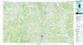 |
Alexandria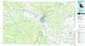 |
Woodville |
Mc Comb |
> Back to 31090a1 at 1:250,000 scale
> Back to U.S. Topo Maps home
1:24,000 Topo Quads covered by the spatial extent of this 100k map (Natchez)
|
Enterprise 
|
Extension 
|
Wisner 
|
Oakley 
|
Gretna Green 
|
Lake Bruin 
|
Saint Joseph 
|
Widows Creek 
|
|
Aimwell 
|
Harrisonburg 
|
Sicily Island 
|
Foules 
|
Waterproof 
|
Chamblee 
|
Rodney 
|
Lorman 
|
|
Manifest 
|
Jonesville North 
|
Dunbarton 
|
Ferriday North 
|
Spokane 
|
Pine Ridge 
|
Church Hill 
|
Fayette 
|
|
Walters 
|
Jonesville South 
|
Frogmore 
|
Ferriday South 
|
Natchez 
|
Washington 
|
Cranfield 
|
Roxie 
|