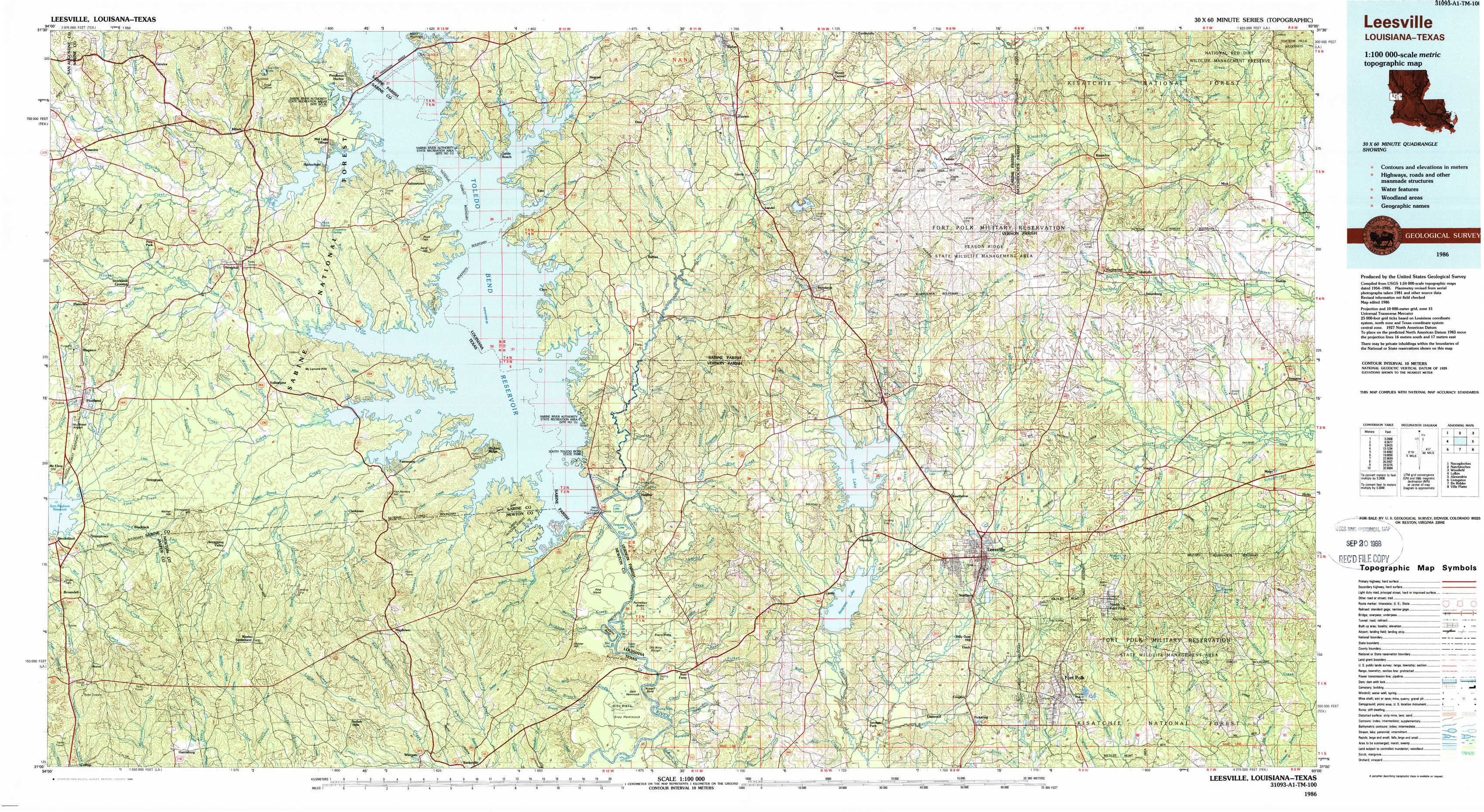
Leesville Topo Map Louisiana
To zoom in, hover over the map of Leesville
USGS Topo Map 31093a1 - 1:100,000 scale
| Topo Map Name: | Leesville |
| USGS Topo Quad ID: | 31093a1 |
| Print Size: | ca. 39" wide x 24" high |
| Southeast Coordinates: | 31° N latitude / 93° W longitude |
| Map Center Coordinates: | 31.25° N latitude / 93.5° W longitude |
| U.S. States: | LA, TX |
| Filename: | 31093a1.jpg |
| Download Map JPG Image: | Leesville topo map 1:100,000 scale |
| Map Type: | Topographic |
| Topo Series: | 30´x60´ |
| Map Scale: | 1:100,000 |
| Source of Map Images: | United States Geological Survey (USGS) |
| Alternate Map Versions: |
Leesville LA 1986, updated 1988 Download PDF Buy paper map |
1:100,000 Topos surrounding Leesville
Nacogdoches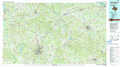 |
Natchitoches |
Winnfield |
Lufkin |
Leesville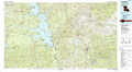 |
Alexandria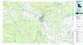 |
Livingston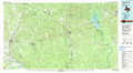 |
De Ridder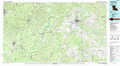 |
Ville Platte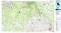 |
> Back to 31092a1 at 1:250,000 scale
> Back to U.S. Topo Maps home
1:24,000 Topo Quads covered by the spatial extent of this 100k map (Leesville)
|
Geneva 
|
Milam 
|
Salter Creek 
|
Negreet 
|
Florien 
|
Peason 
|
Kisatchie 
|
Bayou Livrogne 
|
|
Pineland North 
|
Hemphill 
|
Negreet Sw 
|
Toro 
|
Hornbeck 
|
Dowden Creek 
|
Kurthwood 
|
Simpson North 
|
|
Pineland South 
|
Hurricane Creek 
|
Fairmount 
|
Haddens 
|
Little Sandy Creek 
|
Leesville 
|
Slagle 
|
Simpson South 
|
|
Harrisburg 
|
Weeks Settlement 
|
Wiergate 
|
Wiergate Se 
|
Burr Ferry 
|
Newllano 
|
Fort Polk 
|
Birds Creek 
|