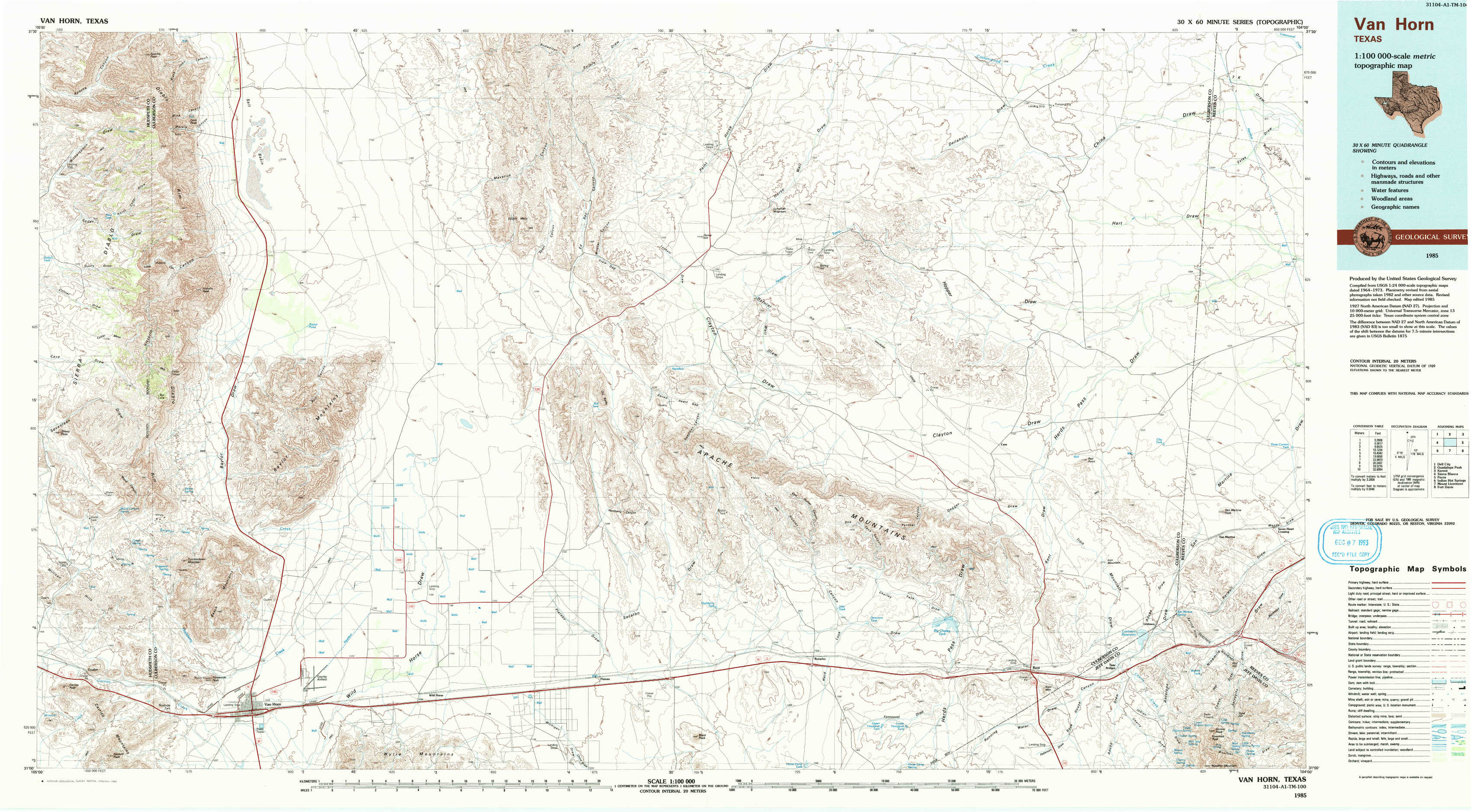
Van Horn Topo Map Texas
To zoom in, hover over the map of Van Horn
USGS Topo Map 31104a1 - 1:100,000 scale
| Topo Map Name: | Van Horn |
| USGS Topo Quad ID: | 31104a1 |
| Print Size: | ca. 39" wide x 24" high |
| Southeast Coordinates: | 31° N latitude / 104° W longitude |
| Map Center Coordinates: | 31.25° N latitude / 104.5° W longitude |
| U.S. State: | TX |
| Filename: | 31104a1.jpg |
| Download Map JPG Image: | Van Horn topo map 1:100,000 scale |
| Map Type: | Topographic |
| Topo Series: | 30´x60´ |
| Map Scale: | 1:100,000 |
| Source of Map Images: | United States Geological Survey (USGS) |
| Alternate Map Versions: |
Van Horn TX 1985, updated 1985 Download PDF Buy paper map Van Horn TX 1985, updated 1993 Download PDF Buy paper map Van Horn TX 1985, updated 1993 Download PDF Buy paper map |
1:100,000 Topos surrounding Van Horn
Dell City |
Guadalupe Peak |
Kermit |
Sierra Blanca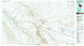 |
Van Horn |
Pecos |
Indian Hot Springs |
Mount Livermore |
Fort Davis |
> Back to 31104a1 at 1:250,000 scale
> Back to U.S. Topo Maps home
1:24,000 Topo Quads covered by the spatial extent of this 100k map (Van Horn)
|
Apache Peak 
|
Figure Two Ranch 
|
Seven Heart Gap Nw 
|
Delaware Ranch 
|
Loneman Mountain 
|
Dellahunt Draw West 
|
Dellahunt Draw East 
|
Burnt Spring Hills 
|
|
Collier Mesa 
|
Victorio Peak 
|
Square Mesa 
|
Seven Heart Gap 
|
Dome Hill 
|
Hopper Draw West 
|
Hopper Draw East 
|
Burnt Spring Hills Se 
|
|
Sheep Peak 
|
Nutt Ranch 
|
Watson Ranch 
|
Goat Canyon 
|
East Hunter Canyon 
|
Panther Canyon 
|
Iron Mountain 
|
San Martine 
|
|
Hackett Peak 
|
Van Horn 
|
Wild Horse 
|
Plateau 
|
Boracho 
|
Fencepost Draw 
|
Kent 
|
Gomez Peak 
|