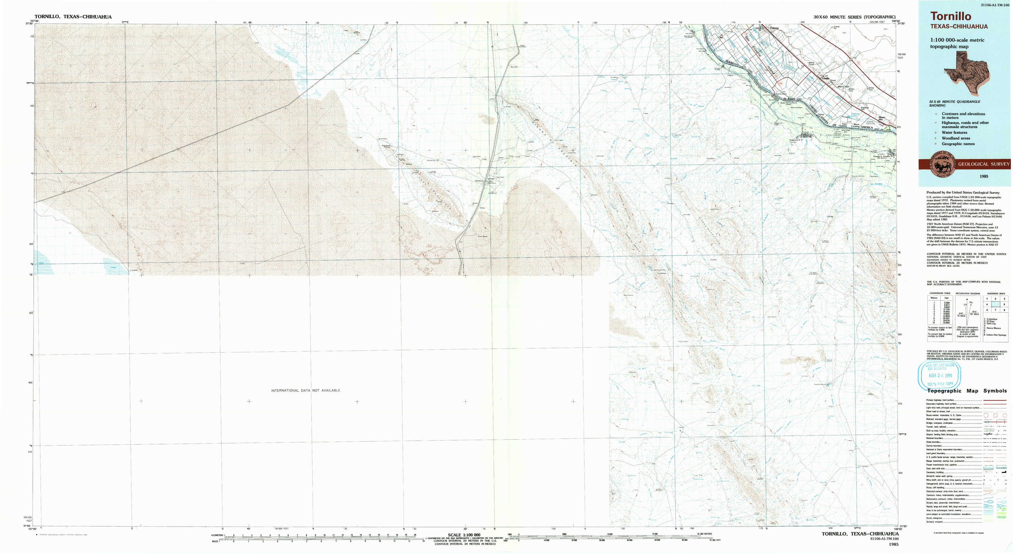
Tornillo Topo Map Texas
To zoom in, hover over the map of Tornillo
USGS Topo Map 31106a1 - 1:100,000 scale
| Topo Map Name: | Tornillo |
| USGS Topo Quad ID: | 31106a1 |
| Print Size: | ca. 39" wide x 24" high |
| Southeast Coordinates: | 31° N latitude / 106° W longitude |
| Map Center Coordinates: | 31.25° N latitude / 106.5° W longitude |
| U.S. State: | TX |
| Filename: | 31106a1.jpg |
| Download Map JPG Image: | Tornillo topo map 1:100,000 scale |
| Map Type: | Topographic |
| Topo Series: | 30´x60´ |
| Map Scale: | 1:100,000 |
| Source of Map Images: | United States Geological Survey (USGS) |
| Alternate Map Versions: |
Tornillo TX 1985, updated 1985 Download PDF Buy paper map Tornillo TX 1985, updated 1993 Download PDF Buy paper map |
1:100,000 Topos surrounding Tornillo
Columbus |
El Paso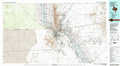 |
Dell City |
Tornillo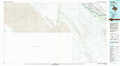 |
Sierra Blanca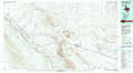 |
|
Indian Hot Springs |
> Back to 31106a1 at 1:250,000 scale
> Back to U.S. Topo Maps home
1:24,000 Topo Quads covered by the spatial extent of this 100k map (Tornillo)
|
Isla 
|
Tornillo 
|
||||||