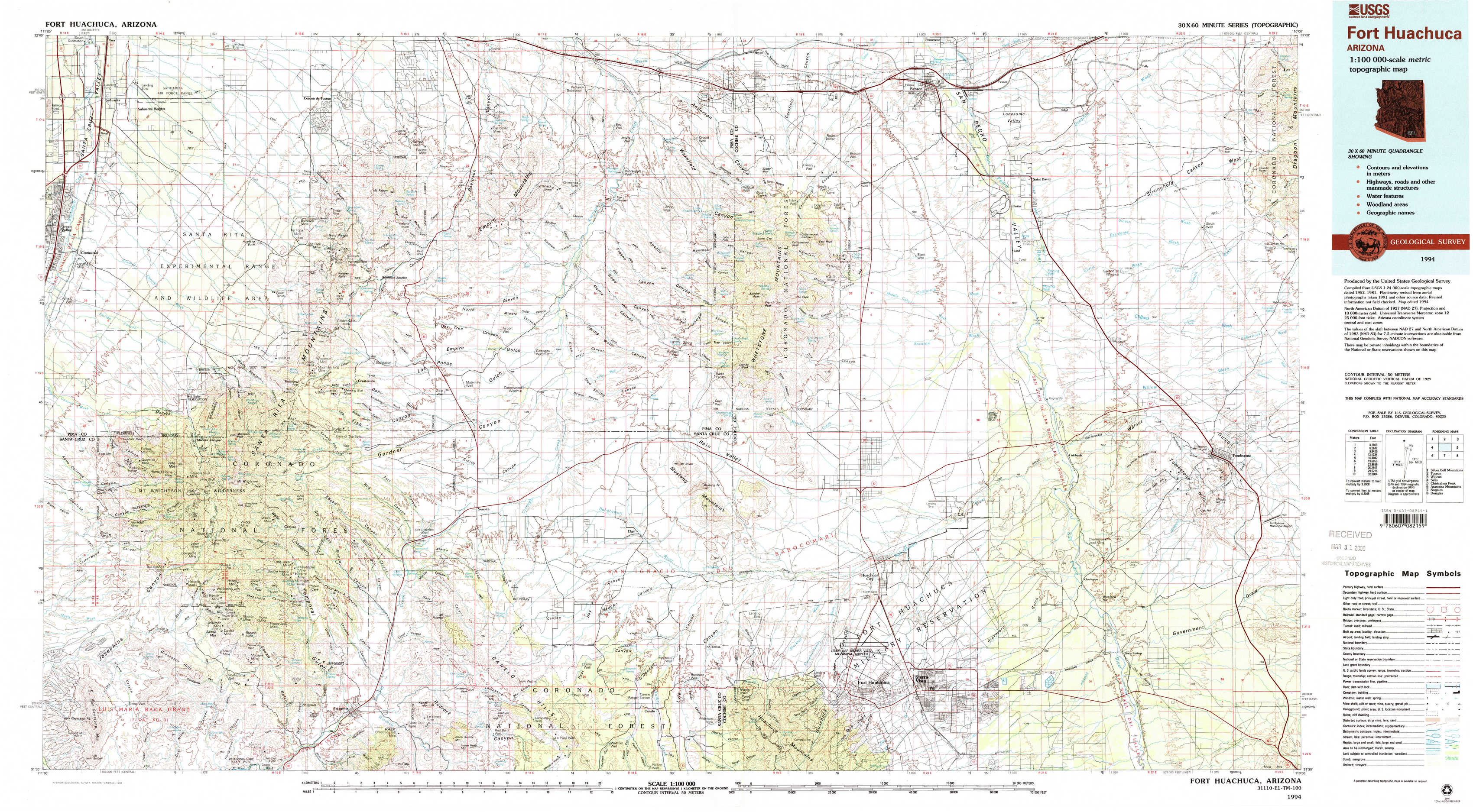
Fort Huachuca Topo Map Arizona
To zoom in, hover over the map of Fort Huachuca
USGS Topo Map 31110e1 - 1:100,000 scale
| Topo Map Name: | Fort Huachuca |
| USGS Topo Quad ID: | 31110e1 |
| Print Size: | ca. 39" wide x 24" high |
| Southeast Coordinates: | 31.5° N latitude / 110° W longitude |
| Map Center Coordinates: | 31.75° N latitude / 110.5° W longitude |
| U.S. State: | AZ |
| Filename: | 31110e1.jpg |
| Download Map JPG Image: | Fort Huachuca topo map 1:100,000 scale |
| Map Type: | Topographic |
| Topo Series: | 30´x60´ |
| Map Scale: | 1:100,000 |
| Source of Map Images: | United States Geological Survey (USGS) |
| Alternate Map Versions: |
Fort Huachuca AZ 1994, updated 1994 Download PDF Buy paper map Fort Huachuca AZ 1994, updated 1994 Download PDF Buy paper map Fort Huachuca AZ 1994, updated 1994 Download PDF Buy paper map |
1:100,000 Topos surrounding Fort Huachuca
Silver Bell Mountains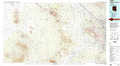 |
Tucson |
Willcox |
Sells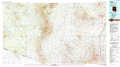 |
Fort Huachuca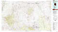 |
Chiricahua Peak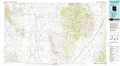 |
Atascosa Mountains |
Nogales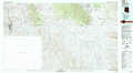 |
Douglas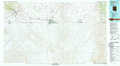 |
> Back to 31110a1 at 1:250,000 scale
> Back to U.S. Topo Maps home
1:24,000 Topo Quads covered by the spatial extent of this 100k map (Fort Huachuca)
|
Sahuarita 
|
Corona De Tucson 
|
Mount Fagan 
|
The Narrows 
|
Mescal 
|
Benson 
|
Saint David 
|
Knob Hill 
|
|
Green Valley 
|
Helvetia 
|
Empire Ranch 
|
Spring Water Canyon 
|
Apache Peak 
|
Mcgrew Spring 
|
Land 
|
Haberstock Hill 
|
|
Mount Hopkins 
|
Mount Wrightson 
|
Sonoita 
|
Elgin 
|
Mustang Mountains 
|
Huachuca City 
|
Fairbank 
|
Tombstone 
|
|
San Cayetano Mountains 
|
Patagonia 
|
Mount Hughes 
|
O'Donnel Canyon 
|
Pyeatt Ranch 
|
Fort Huachuca 
|
Lewis Springs 
|
Tombstone Se 
|