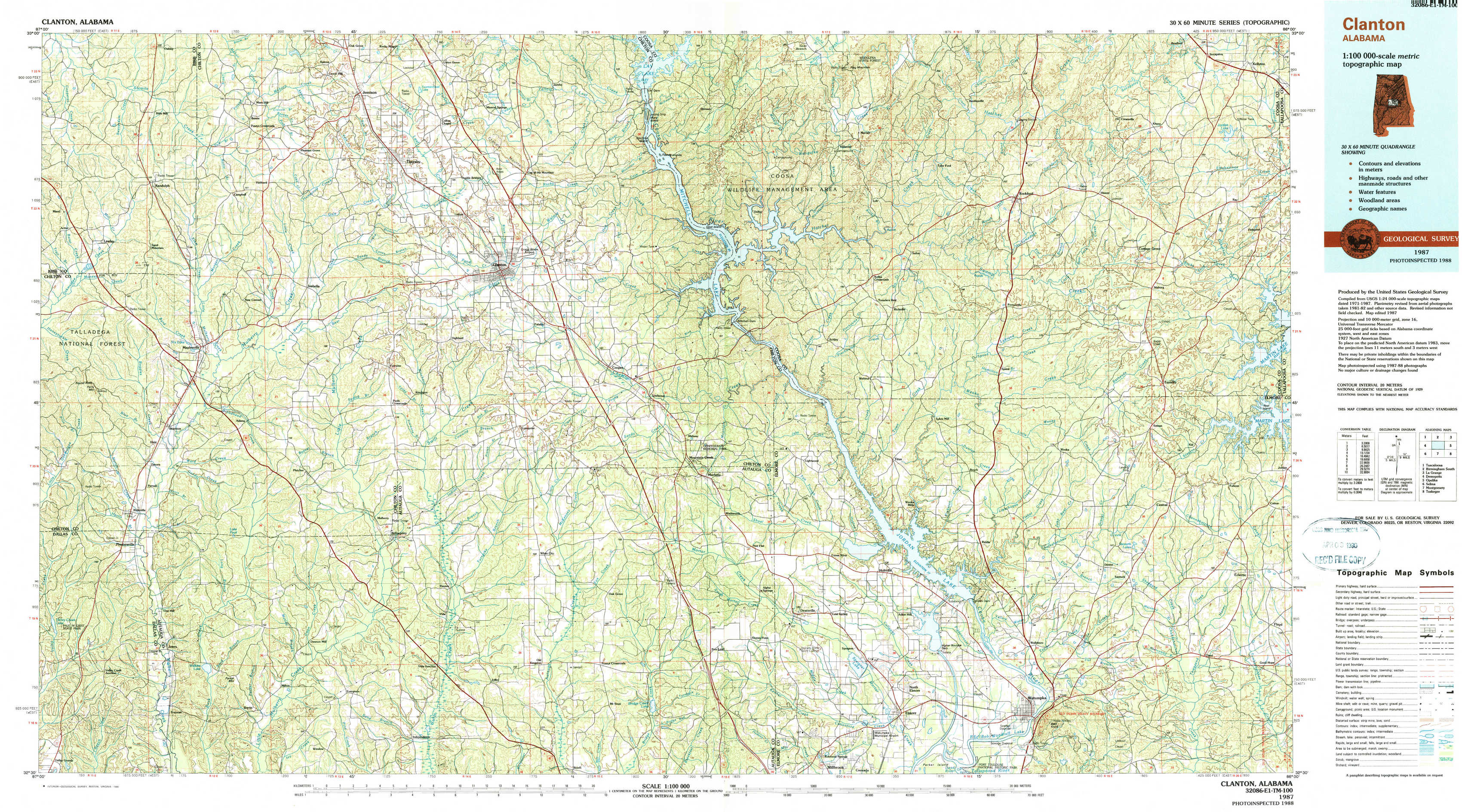
Clanton Topo Map Alabama
To zoom in, hover over the map of Clanton
USGS Topo Map 32086e1 - 1:100,000 scale
| Topo Map Name: | Clanton |
| USGS Topo Quad ID: | 32086e1 |
| Print Size: | ca. 39" wide x 24" high |
| Southeast Coordinates: | 32.5° N latitude / 86° W longitude |
| Map Center Coordinates: | 32.75° N latitude / 86.5° W longitude |
| U.S. State: | AL |
| Filename: | 32086e1.jpg |
| Download Map JPG Image: | Clanton topo map 1:100,000 scale |
| Map Type: | Topographic |
| Topo Series: | 30´x60´ |
| Map Scale: | 1:100,000 |
| Source of Map Images: | United States Geological Survey (USGS) |
| Alternate Map Versions: |
Clanton AL 1986, updated 1986 Download PDF Buy paper map Clanton AL 1987, updated 1990 Download PDF Buy paper map |
1:100,000 Topos surrounding Clanton
Tuscaloosa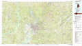 |
Birmingham South |
La Grange |
Demopolis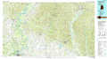 |
Clanton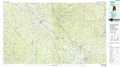 |
Opelika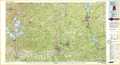 |
Selma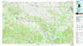 |
Montgomery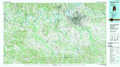 |
Tuskegee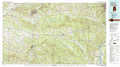 |
> Back to 32086a1 at 1:250,000 scale
> Back to U.S. Topo Maps home
1:24,000 Topo Quads covered by the spatial extent of this 100k map (Clanton)
|
Randolph 
|
Jemison West 
|
Jemison East 
|
Lay Dam 
|
Mitchell Dam Nw 
|
Flag Mountain 
|
Rockford 
|
Kellyton 
|
|
Maplesville West 
|
Maplesville East 
|
Clanton West 
|
Clanton East 
|
Mitchell Dam 
|
Richville 
|
Rockford Sw 
|
Equality 
|
|
Plantersville 
|
Pletcher 
|
Billingsley 
|
White City 
|
Marbury 
|
Holtville 
|
Dexter 
|
Eclectic 
|
|
Jones 
|
Milton 
|
Vida 
|
Old Kingston 
|
Deatsville 
|
Elmore 
|
Wetumpka 
|
Claud 
|