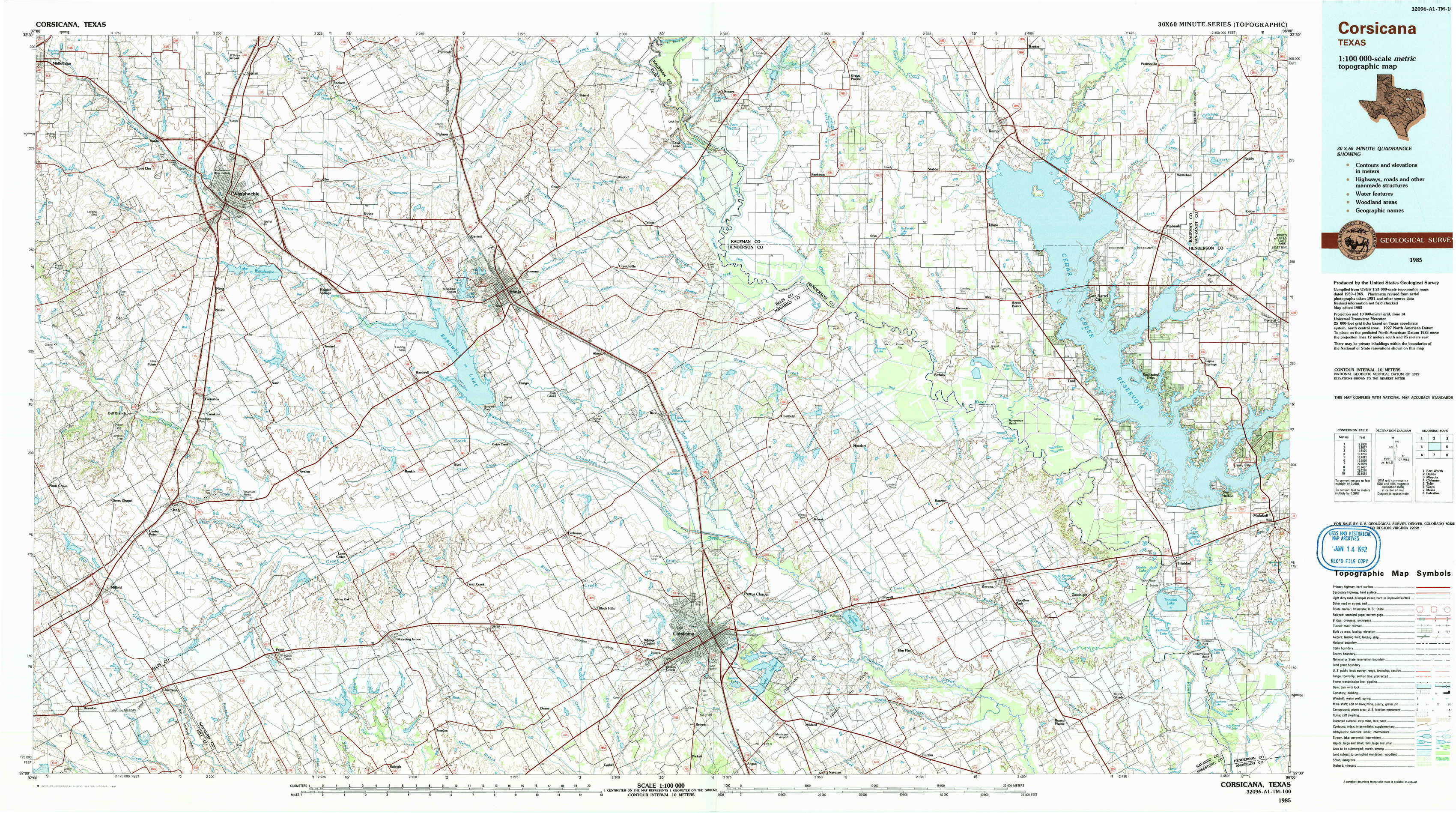
Corsicana Topo Map Texas
To zoom in, hover over the map of Corsicana
USGS Topo Map 32096a1 - 1:100,000 scale
| Topo Map Name: | Corsicana |
| USGS Topo Quad ID: | 32096a1 |
| Print Size: | ca. 39" wide x 24" high |
| Southeast Coordinates: | 32° N latitude / 96° W longitude |
| Map Center Coordinates: | 32.25° N latitude / 96.5° W longitude |
| U.S. State: | TX |
| Filename: | 32096a1.jpg |
| Download Map JPG Image: | Corsicana topo map 1:100,000 scale |
| Map Type: | Topographic |
| Topo Series: | 30´x60´ |
| Map Scale: | 1:100,000 |
| Source of Map Images: | United States Geological Survey (USGS) |
| Alternate Map Versions: |
Corsicana TX 1985, updated 1986 Download PDF Buy paper map Corsicana TX 1985, updated 1991 Download PDF Buy paper map |
1:100,000 Topos surrounding Corsicana
Fort Worth |
Dallas |
Mineola |
Cleburne |
Corsicana |
Tyler |
Waco |
Mexia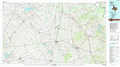 |
Palestine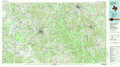 |
> Back to 32096a1 at 1:250,000 scale
> Back to U.S. Topo Maps home
1:24,000 Topo Quads covered by the spatial extent of this 100k map (Corsicana)
|
Midlothian 
|
Waxahachie 
|
Palmer 
|
Bristol 
|
Rosser 
|
Grays Prairie 
|
Kemp 
|
Prairieville 
|
|
Boz 
|
Forreston 
|
Ennis West 
|
Ennis East 
|
Rosser Sw 
|
Styx 
|
Tool 
|
Mabank 
|
|
Italy 
|
Avalon 
|
Cryer Creek 
|
Emhouse 
|
Chatfield 
|
Bazette 
|
Kerens 
|
Malakoff 
|
|
Mertens 
|
Frost 
|
Blooming Grove 
|
Corbet 
|
Corsicana 
|
Powell 
|
Goodlow Park 
|
Creslenn Ranch 
|