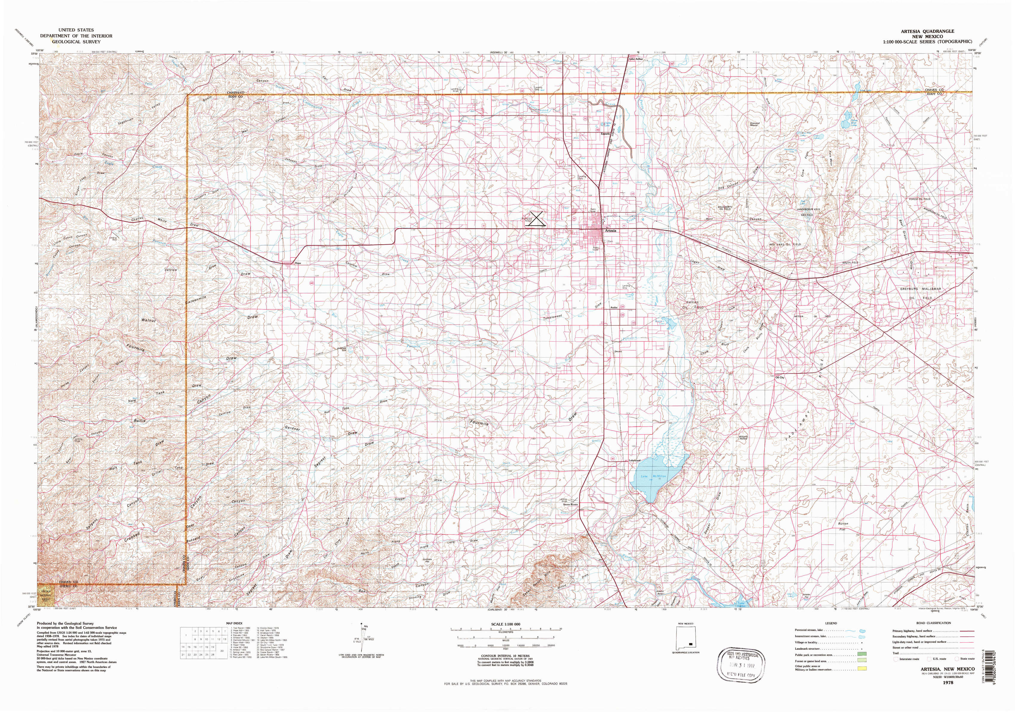
Artesia Topo Map New Mexico
To zoom in, hover over the map of Artesia
USGS Topo Map 32104e1 - 1:100,000 scale
| Topo Map Name: | Artesia |
| USGS Topo Quad ID: | 32104e1 |
| Print Size: | ca. 39" wide x 24" high |
| Southeast Coordinates: | 32.5° N latitude / 104° W longitude |
| Map Center Coordinates: | 32.75° N latitude / 104.5° W longitude |
| U.S. State: | NM |
| Filename: | 32104e1.jpg |
| Download Map JPG Image: | Artesia topo map 1:100,000 scale |
| Map Type: | Topographic |
| Topo Series: | 30´x60´ |
| Map Scale: | 1:100,000 |
| Source of Map Images: | United States Geological Survey (USGS) |
| Alternate Map Versions: |
Artesia NM 1978, updated 1979 Download PDF Buy paper map |
1:100,000 Topos surrounding Artesia
Ruidoso |
Roswell |
Tatum |
Alamogordo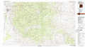 |
Artesia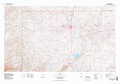 |
Hobbs |
Crow Flats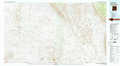 |
Carlsbad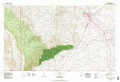 |
Jal |
> Back to 32104a1 at 1:250,000 scale
> Back to U.S. Topo Maps home
1:24,000 Topo Quads covered by the spatial extent of this 100k map (Artesia)
|
Sagebrush Valley W. 
|
Sagebrush Valley E. 
|
Hope Nw 
|
Hope Ne 
|
Espuela 
|
Artesia Ne 
|
Diamond Mound 
|
Basin Well 
|
|
Sixteenmile Draw West 
|
Sixteenmile Draw East 
|
Hope 
|
Hope Se 
|
Artesia 
|
Spring Lake 
|
Red Lake 
|
Red Lake Se 
|
|
Encino Draw 
|
Holt Tank 
|
Antelope Sink 
|
Parish Ranch 
|
Dayton 
|
Lake Mcmillan North 
|
Illinois Camp 
|
Illinois Camp Ne 
|
|
South Taylor Tank 
|
Strychnine Draw 
|
Box Canyon Ranch 
|
Foster Ranch 
|
Seven Rivers 
|
Lake Mcmillan South 
|
Angel Draw 
|
Illinois Camp Se 
|