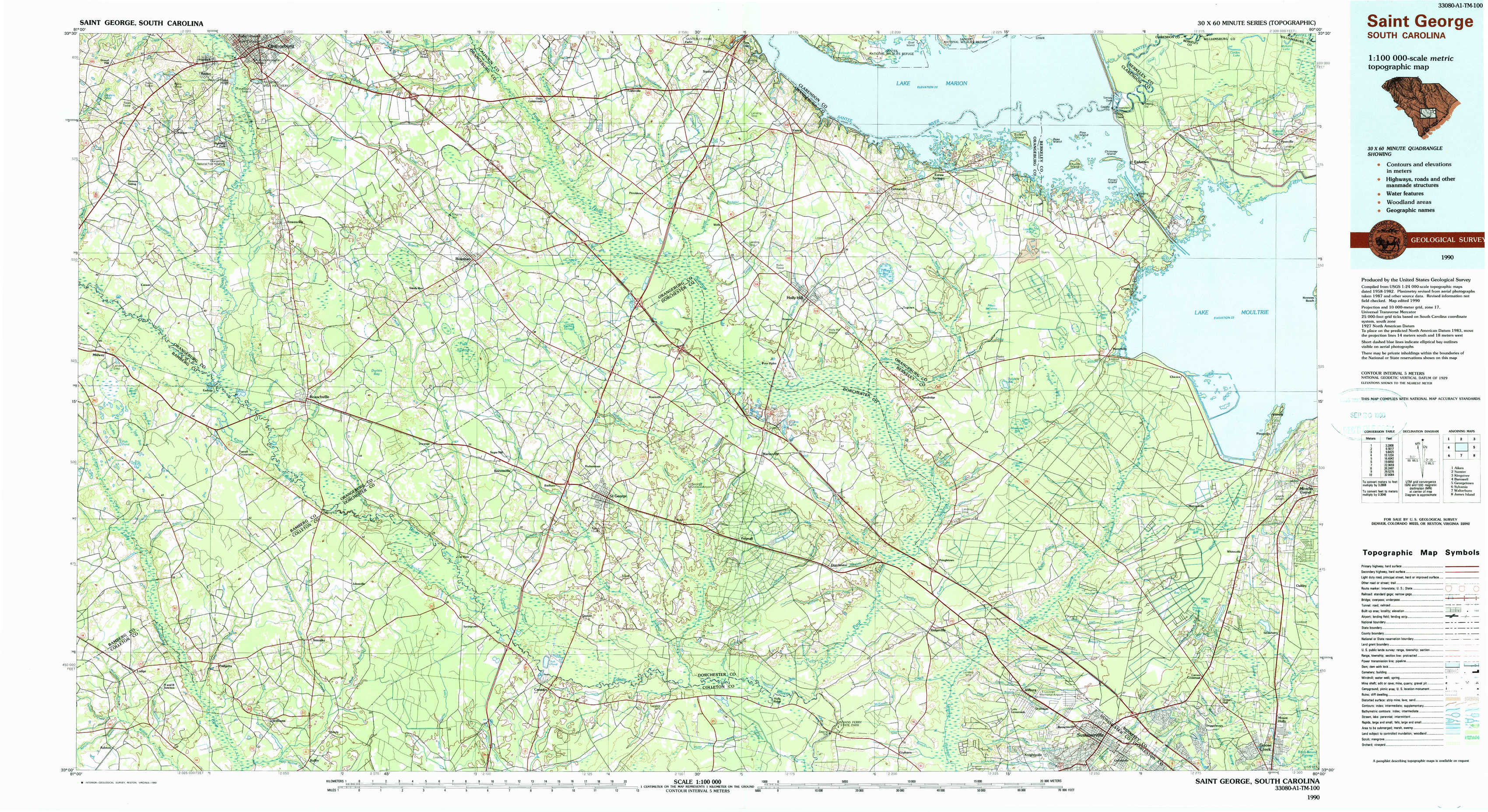
Saint George Topo Map South Carolina
To zoom in, hover over the map of Saint George
USGS Topo Map 33080a1 - 1:100,000 scale
| Topo Map Name: | Saint George |
| USGS Topo Quad ID: | 33080a1 |
| Print Size: | ca. 39" wide x 24" high |
| Southeast Coordinates: | 33° N latitude / 80° W longitude |
| Map Center Coordinates: | 33.25° N latitude / 80.5° W longitude |
| U.S. State: | SC |
| Filename: | 33080a1.jpg |
| Download Map JPG Image: | Saint George topo map 1:100,000 scale |
| Map Type: | Topographic |
| Topo Series: | 30´x60´ |
| Map Scale: | 1:100,000 |
| Source of Map Images: | United States Geological Survey (USGS) |
| Alternate Map Versions: |
Saint George SC 1985, updated 1986 Download PDF Buy paper map Saint George SC 1990, updated 1990 Download PDF Buy paper map |
1:100,000 Topos surrounding Saint George
Aiken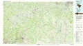 |
Sumter |
Kingstree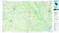 |
Barnwell |
Saint George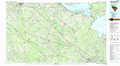 |
Georgetown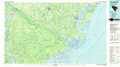 |
Sylvania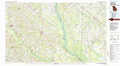 |
Walterboro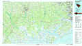 |
James Island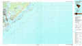 |
> Back to 33080a1 at 1:250,000 scale
> Back to U.S. Topo Maps home
1:24,000 Topo Quads covered by the spatial extent of this 100k map (Saint George)
|
Cordova 
|
Orangeburg South 
|
Indian Camp Branch 
|
Felderville 
|
Vance 
|
Eutawville 
|
Eadytown 
|
Pineville 
|
|
Midway 
|
Branchville North 
|
Bowman 
|
Wadboo Swamp 
|
Holly Hill 
|
Sandridge 
|
Cross 
|
Chicora 
|
|
Tony Hill Bay 
|
Branchville South 
|
Reevesville 
|
Saint George 
|
Harleyville 
|
Pringletown 
|
Summerville Nw 
|
Moncks Corner 
|
|
Lodge 
|
Williams 
|
Saint George Sw 
|
Canadys 
|
Maple Cane Swamp 
|
Ridgeville 
|
Summerville 
|
Mount Holly 
|