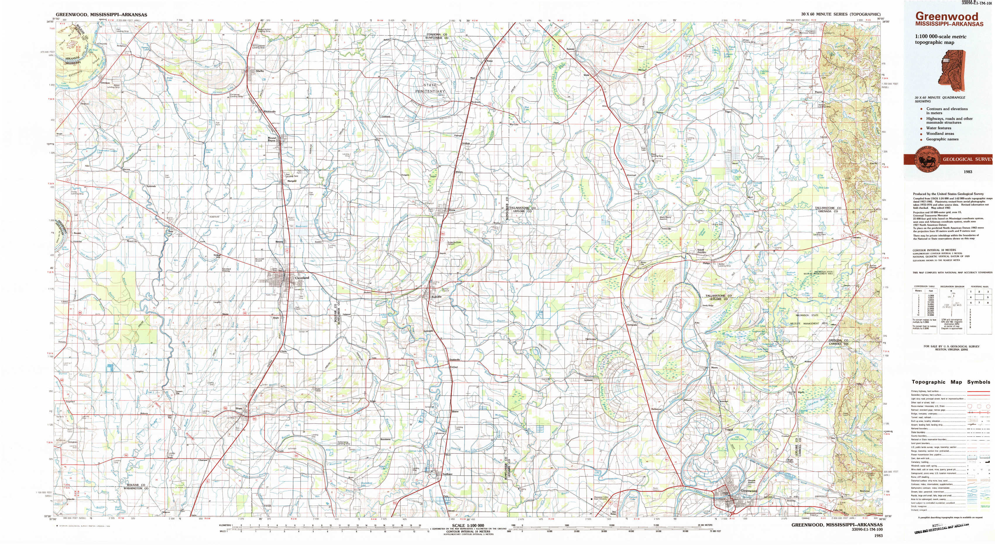
Greenwood Topo Map Mississippi
To zoom in, hover over the map of Greenwood
USGS Topo Map 33090e1 - 1:100,000 scale
| Topo Map Name: | Greenwood |
| USGS Topo Quad ID: | 33090e1 |
| Print Size: | ca. 39" wide x 24" high |
| Southeast Coordinates: | 33.5° N latitude / 90° W longitude |
| Map Center Coordinates: | 33.75° N latitude / 90.5° W longitude |
| U.S. States: | MS, AR |
| Filename: | 33090e1.jpg |
| Download Map JPG Image: | Greenwood topo map 1:100,000 scale |
| Map Type: | Topographic |
| Topo Series: | 30´x60´ |
| Map Scale: | 1:100,000 |
| Source of Map Images: | United States Geological Survey (USGS) |
| Alternate Map Versions: |
Greenwood MS 1983, updated 1983 Download PDF Buy paper map |
1:100,000 Topos surrounding Greenwood
De Witt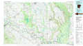 |
Clarksdale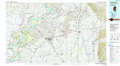 |
Oxford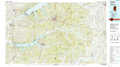 |
Dumas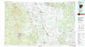 |
Greenwood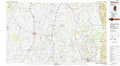 |
Grenada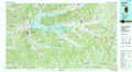 |
Crossett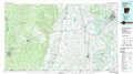 |
Indianola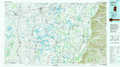 |
Kosciusko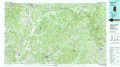 |
> Back to 33090a1 at 1:250,000 scale
> Back to U.S. Topo Maps home
1:24,000 Topo Quads covered by the spatial extent of this 100k map (Greenwood)
|
Gunnison 
|
Shelby 
|
Mound Bayou 
|
Baltzer 
|
Rome 
|
Webb 
|
Tippo 
|
Paynes 
|
|
Beulah 
|
Pace 
|
Merigold 
|
Drew 
|
Brooks 
|
Glendora 
|
Philipp 
|
Cascilla 
|
|
Lobdell 
|
Skene 
|
Cleveland 
|
Ruleville 
|
Rattlesnake Bayou 
|
Schlater 
|
Money 
|
Avalon 
|
|
Stringtown 
|
Shaw 
|
Boyer 
|
Sunflower 
|
Bear Gut Bayou 
|
Shellmound 
|
Greenwood 
|
Browning 
|