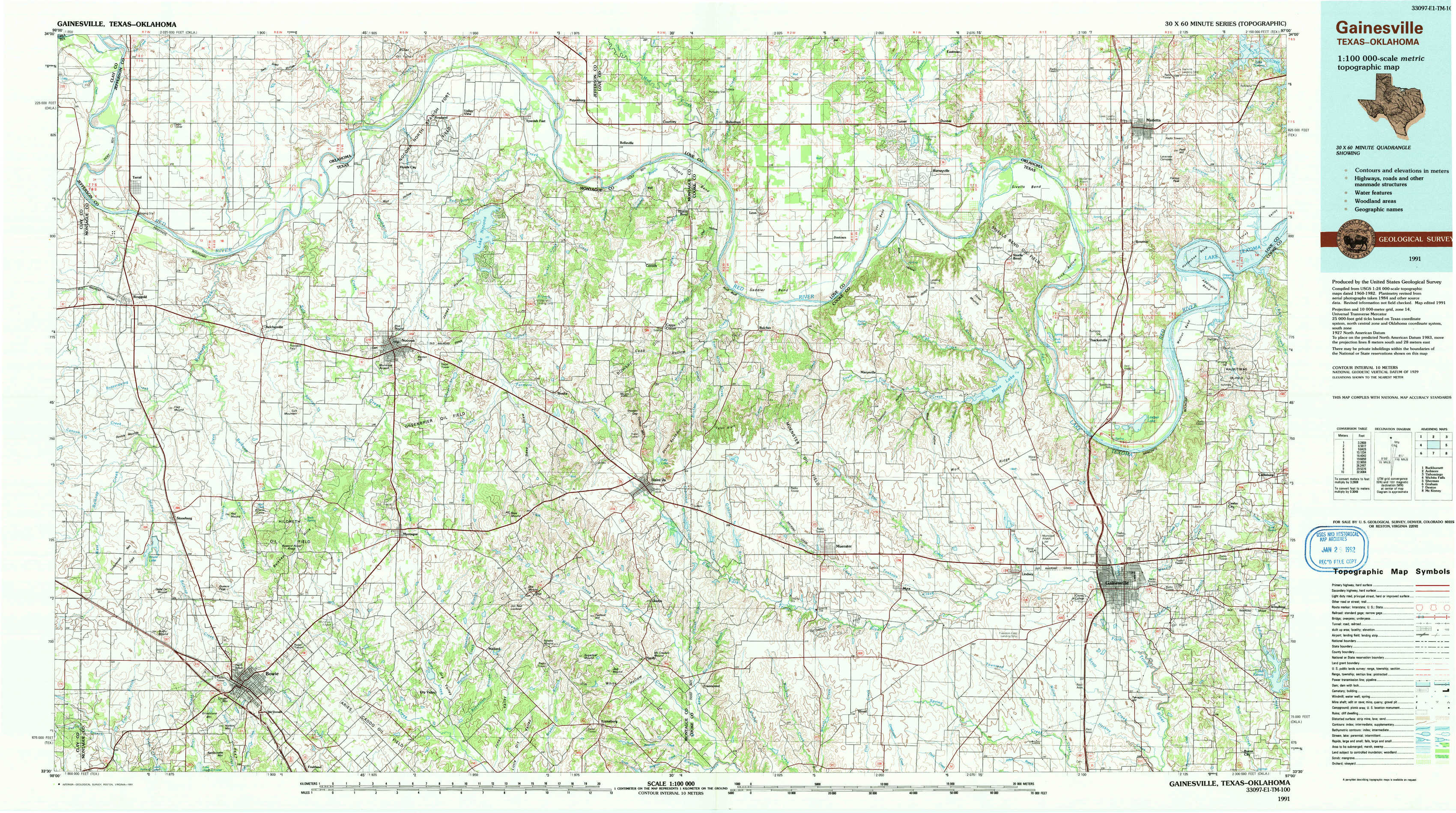
Gainesville Topo Map Texas
To zoom in, hover over the map of Gainesville
USGS Topo Map 33097e1 - 1:100,000 scale
| Topo Map Name: | Gainesville |
| USGS Topo Quad ID: | 33097e1 |
| Print Size: | ca. 39" wide x 24" high |
| Southeast Coordinates: | 33.5° N latitude / 97° W longitude |
| Map Center Coordinates: | 33.75° N latitude / 97.5° W longitude |
| U.S. States: | TX, OK |
| Filename: | 33097e1.jpg |
| Download Map JPG Image: | Gainesville topo map 1:100,000 scale |
| Map Type: | Topographic |
| Topo Series: | 30´x60´ |
| Map Scale: | 1:100,000 |
| Source of Map Images: | United States Geological Survey (USGS) |
| Alternate Map Versions: |
Gainesville TX 1985, updated 1985 Download PDF Buy paper map Gainesville TX 1991, updated 1991 Download PDF Buy paper map |
1:100,000 Topos surrounding Gainesville
Burkburnett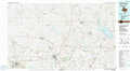 |
Ardmore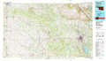 |
Tishomingo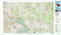 |
Wichita Falls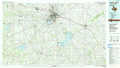 |
Gainesville |
Sherman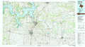 |
Graham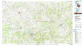 |
Denton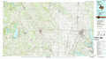 |
Mc Kinney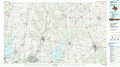 |
> Back to 33096a1 at 1:250,000 scale
> Back to U.S. Topo Maps home
1:24,000 Topo Quads covered by the spatial extent of this 100k map (Gainesville)
|
Terral 
|
Fleetwood 
|
Prairie Valley School 
|
Spanish Fort 
|
Leon North 
|
Burneyville 
|
Marietta West 
|
Marietta East 
|
|
Ringgold 
|
Belcherville 
|
Nocona 
|
Bonita 
|
Leon South 
|
Marysville 
|
Thackerville 
|
Horseshoe Bend 
|
|
Stoneburg 
|
Buzzard Roost Knob 
|
Montague 
|
Saint Jo 
|
Muenster West 
|
Muenster East 
|
Gainesville North 
|
Callisburg 
|
|
Brushy Mound 
|
Bowie 
|
Salona 
|
Forestburg 
|
Freemound 
|
Hood 
|
Gainesville South 
|
Woodbine 
|