Dickens Topo Map Texas
To zoom in, hover over the map of Dickens
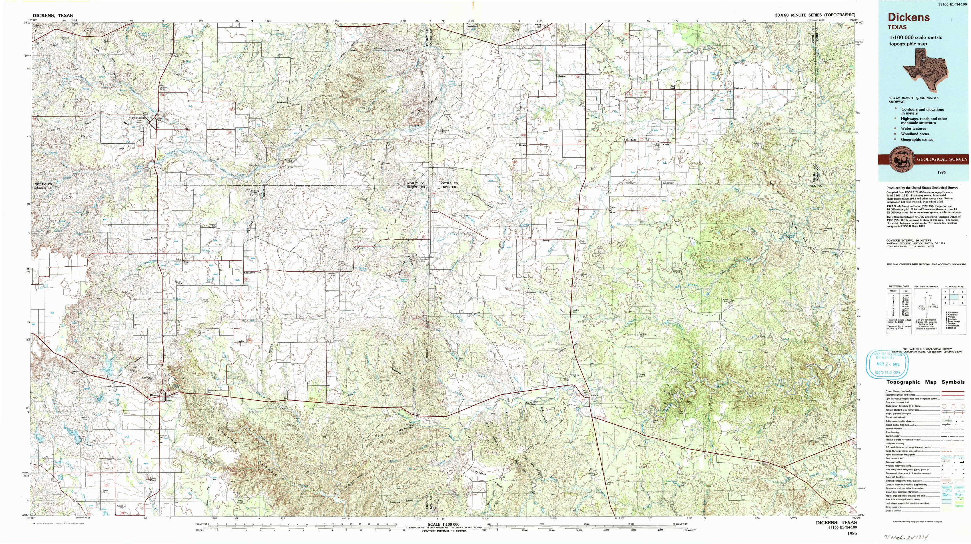
USGS Topo Map 33100e1 - 1:100,000 scale
| Topo Map Name: | Dickens |
| USGS Topo Quad ID: | 33100e1 |
| Print Size: | ca. 39" wide x 24" high |
| Southeast Coordinates: | 33.5° N latitude / 100° W longitude |
| Map Center Coordinates: | 33.75° N latitude / 100.5° W longitude |
| U.S. State: | TX |
| Filename: | 33100e1.jpg |
| Download Map JPG Image: | Dickens topo map 1:100,000 scale |
| Map Type: | Topographic |
| Topo Series: | 30´x60´ |
| Map Scale: | 1:100,000 |
| Source of Map Images: | United States Geological Survey (USGS) |
| Alternate Map Versions: |
Dickens TX 1985, updated 1985 Download PDF Buy paper map Dickens TX 1985, updated 1993 Download PDF Buy paper map |
1:100,000 Topos surrounding Dickens
Plainview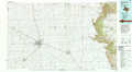 |
Childress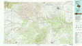 |
Vernon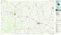 |
Lubbock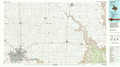 |
Dickens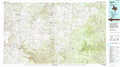 |
Lake Kemp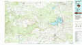 |
Slaton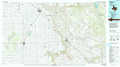 |
Aspermont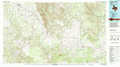 |
Haskell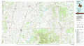 |
> Back to 33100a1 at 1:250,000 scale
> Back to U.S. Topo Maps home
1:24,000 Topo Quads covered by the spatial extent of this 100k map (Dickens)
|
Macbain 
|
Roaring Springs 
|
Russellville 
|
China Canyon 
|
Grow Nw 
|
Ginsite 
|
Chalk 
|
Y Ranch 
|
|
Rustler Camp 
|
Afton 
|
Sanders Hollow 
|
Dumont 
|
Buffalo Creek 
|
Grow 
|
Chalk Sw 
|
Lowrance Mountain 
|
|
Haystack Mountain 
|
Dickens North 
|
East Afton 
|
East Afton Ne 
|
Guthrie Nw 
|
Fourmile Hill 
|
J Y Ranch 
|
Ox Yoke Creek 
|
|
Foreman Chapel 
|
Dickens South 
|
Croton Camp 
|
Pitchfork Ranch 
|
Pitchfork Flats 
|
Guthrie 
|
Dark Canyon 
|
Buzzard Peak 
|