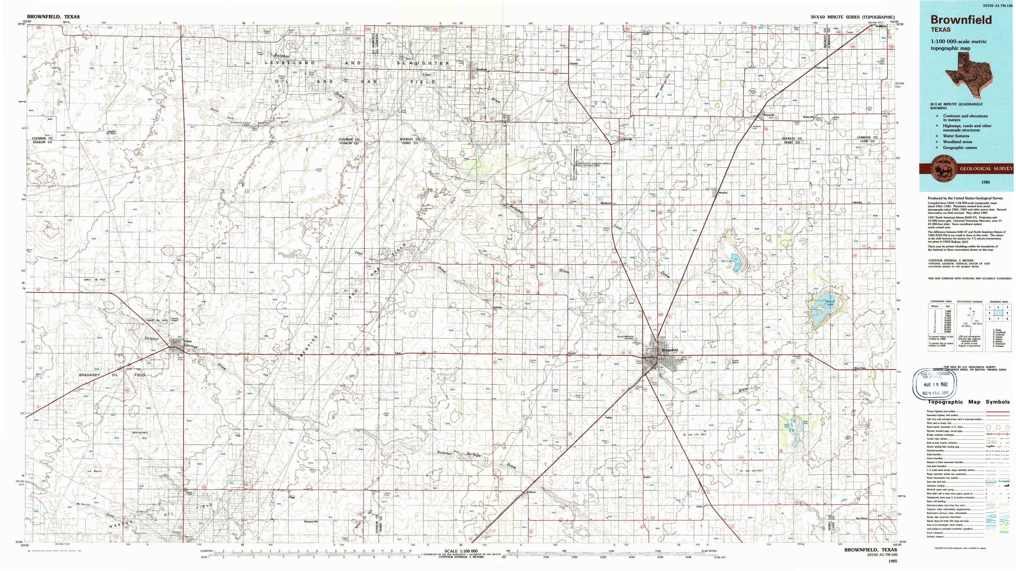
Brownfield Topo Map Texas
To zoom in, hover over the map of Brownfield
USGS Topo Map 33102a1 - 1:100,000 scale
| Topo Map Name: | Brownfield |
| USGS Topo Quad ID: | 33102a1 |
| Print Size: | ca. 39" wide x 24" high |
| Southeast Coordinates: | 33° N latitude / 102° W longitude |
| Map Center Coordinates: | 33.25° N latitude / 102.5° W longitude |
| U.S. State: | TX |
| Filename: | 33102a1.jpg |
| Download Map JPG Image: | Brownfield topo map 1:100,000 scale |
| Map Type: | Topographic |
| Topo Series: | 30´x60´ |
| Map Scale: | 1:100,000 |
| Source of Map Images: | United States Geological Survey (USGS) |
| Alternate Map Versions: |
Brownfield TX 1985, updated 1986 Download PDF Buy paper map Brownfield TX 1985, updated 1992 Download PDF Buy paper map |
1:100,000 Topos surrounding Brownfield
Elida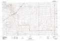 |
Levelland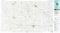 |
Lubbock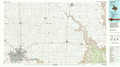 |
Tatum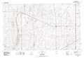 |
Brownfield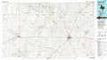 |
Slaton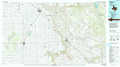 |
Hobbs |
Seminole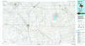 |
Lamesa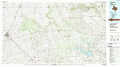 |
> Back to 33102a1 at 1:250,000 scale
> Back to U.S. Topo Maps home
1:24,000 Topo Quads covered by the spatial extent of this 100k map (Brownfield)
|
Two B Ranch Nw 
|
Schooler Ranch 
|
Plains 1 Nw 
|
Plains 1 Ne 
|
Sundown 
|
Lockettville 
|
Ropesville 
|
Busterville 
|
|
Two B Ranch Sw 
|
Two B Ranch 
|
Plains 1 Sw 
|
Plains 1 Se 
|
Pool 
|
Sundown Se 
|
Meadow 
|
Meadow Se 
|
|
Plains Nw 
|
Plains 
|
Tokio Nw 
|
Tokio 
|
Gomez 
|
Brownfield West 
|
Brownfield East 
|
Mound Lake 
|
|
Ink Basin 
|
Plains Se 
|
Pleasant Hill 
|
Tokio Se 
|
Wellman 
|
Foster 
|
Union School 
|
New Moore 
|