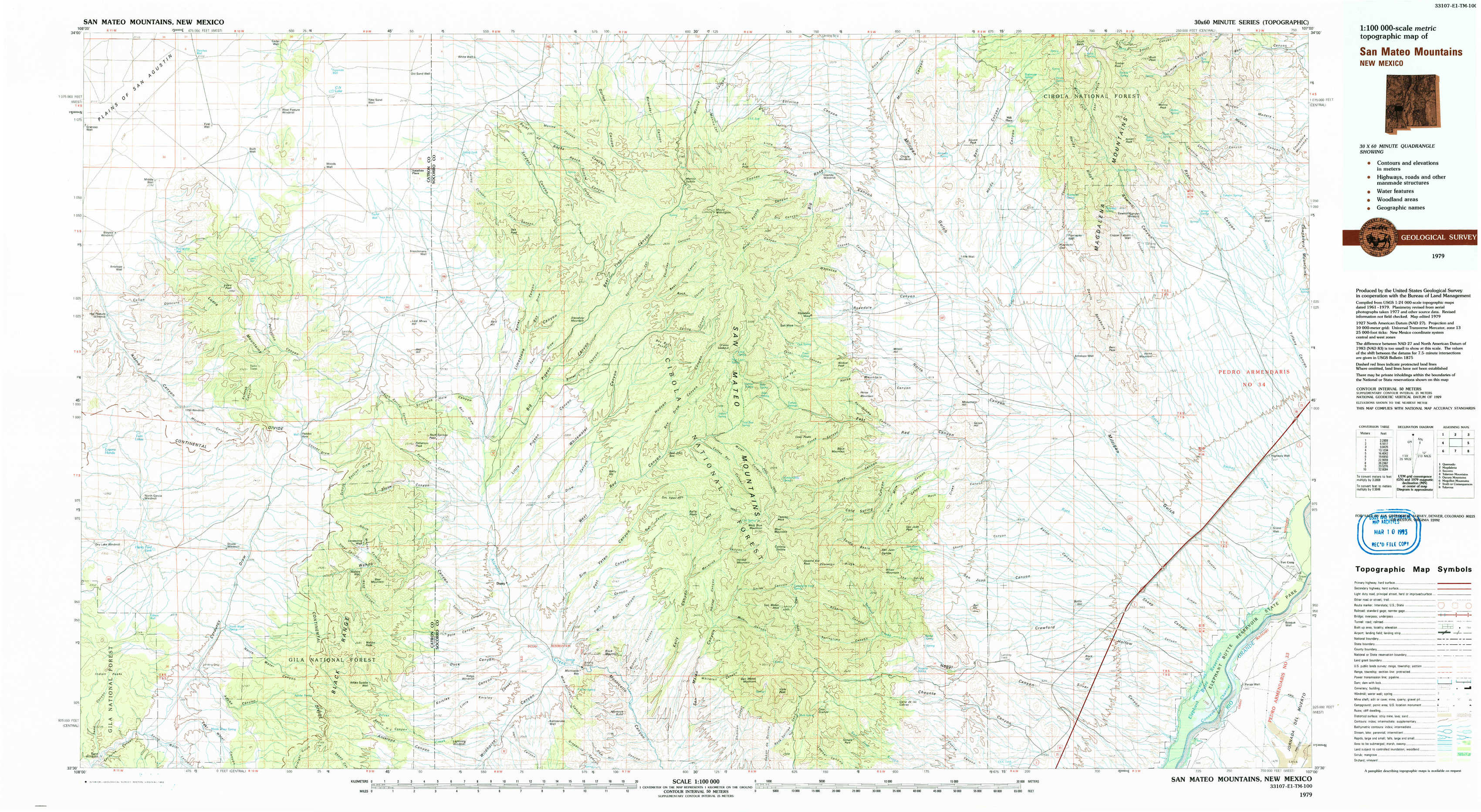
San Mateo Mountains Topo Map New Mexico
To zoom in, hover over the map of San Mateo Mountains
USGS Topo Map 33107e1 - 1:100,000 scale
| Topo Map Name: | San Mateo Mountains |
| USGS Topo Quad ID: | 33107e1 |
| Print Size: | ca. 39" wide x 24" high |
| Southeast Coordinates: | 33.5° N latitude / 107° W longitude |
| Map Center Coordinates: | 33.75° N latitude / 107.5° W longitude |
| U.S. State: | NM |
| Filename: | 33107e1.jpg |
| Download Map JPG Image: | San Mateo Mountains topo map 1:100,000 scale |
| Map Type: | Topographic |
| Topo Series: | 30´x60´ |
| Map Scale: | 1:100,000 |
| Source of Map Images: | United States Geological Survey (USGS) |
| Alternate Map Versions: |
San Mateo Mountains NM 1979, updated 1979 Download PDF Buy paper map San Mateo Mountains NM 1979, updated 1993 Download PDF Buy paper map |
1:100,000 Topos surrounding San Mateo Mountains
Quemado |
Magdalena |
Socorro |
Tularosa Mountains |
San Mateo Mountains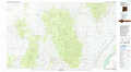 |
Oscura Mountains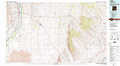 |
Mogollon Mountains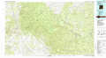 |
Truth Or Consequences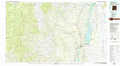 |
Tularosa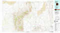 |
> Back to 33106a1 at 1:250,000 scale
> Back to U.S. Topo Maps home
1:24,000 Topo Quads covered by the spatial extent of this 100k map (San Mateo Mountains)
|
Luera Mountains Nw 
|
C-N Lake 
|
Kellog Well 
|
Monica Saddle 
|
Mount Withington 
|
Squaw Peak 
|
South Baldy 
|
Molino Peak 
|
|
Luera Mountains West 
|
Luera Mountains East 
|
Oak Peak 
|
Bay Buck Peaks 
|
Grassy Lookout 
|
Tenmile Hill 
|
Puertecito Gap 
|
Cienega Ranch 
|
|
Mojonera Canyon 
|
Paddys Hole 
|
Dusty 
|
Welty Hill 
|
Blue Mountain 
|
San Juan Peak 
|
Hickman Ranch 
|
Fort Craig 
|
|
Indian Peaks East 
|
Wahoo Peak 
|
Wahoo Ranch 
|
Montoya Butte 
|
Vicks Peak 
|
Steel Hill 
|
Black Hill 
|
Paraje Well 
|