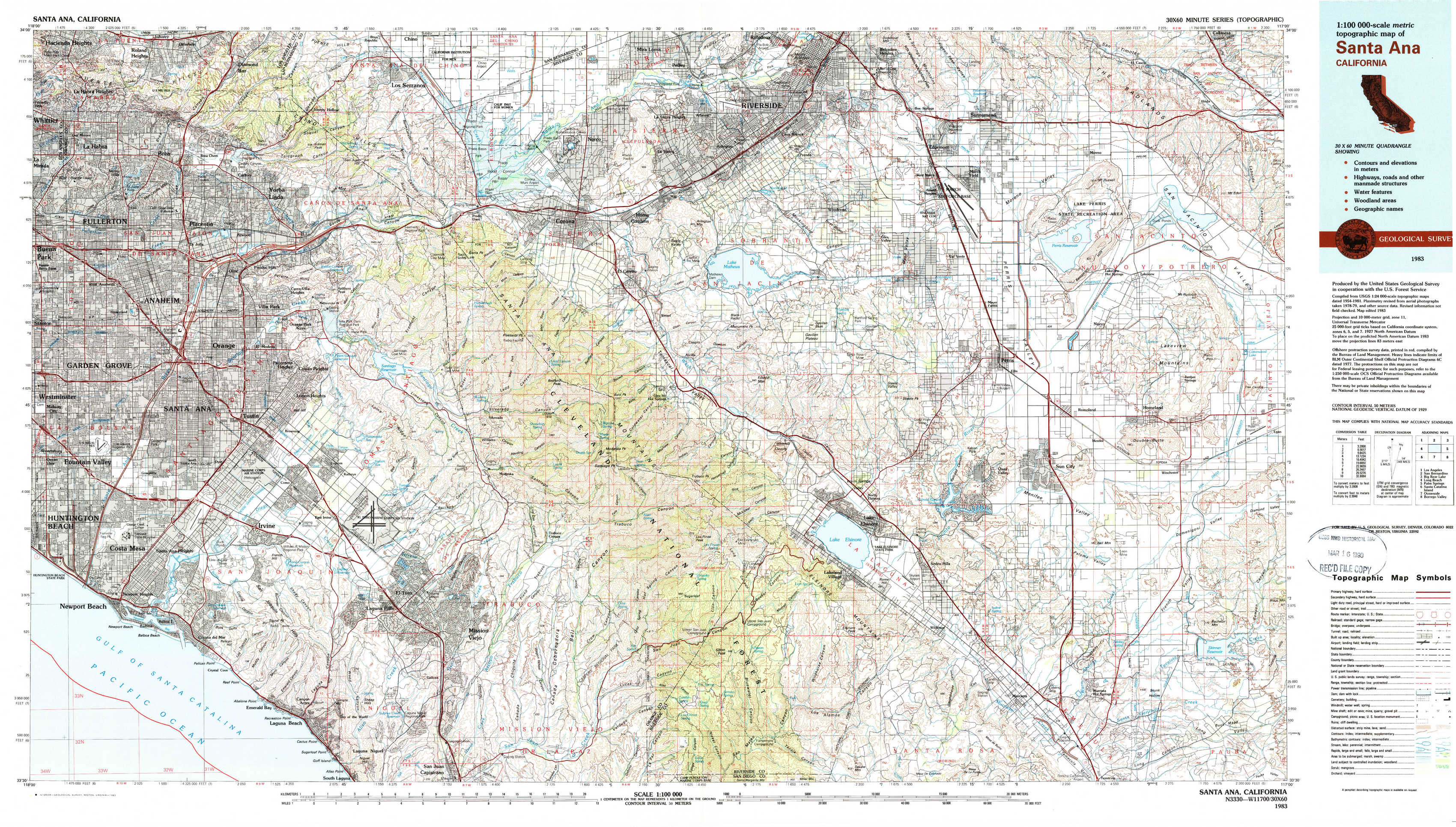
Santa Ana Topo Map California
To zoom in, hover over the map of Santa Ana
USGS Topo Map 33117e1 - 1:100,000 scale
| Topo Map Name: | Santa Ana |
| USGS Topo Quad ID: | 33117e1 |
| Print Size: | ca. 39" wide x 24" high |
| Southeast Coordinates: | 33.5° N latitude / 117° W longitude |
| Map Center Coordinates: | 33.75° N latitude / 117.5° W longitude |
| U.S. State: | CA |
| Filename: | 33117e1.jpg |
| Download Map JPG Image: | Santa Ana topo map 1:100,000 scale |
| Map Type: | Topographic |
| Topo Series: | 30´x60´ |
| Map Scale: | 1:100,000 |
| Source of Map Images: | United States Geological Survey (USGS) |
| Alternate Map Versions: |
Santa Ana CA 1983, updated 1983 Download PDF Buy paper map |
1:100,000 Topos surrounding Santa Ana
Los Angeles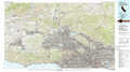 |
San Bernardino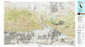 |
Big Bear Lake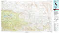 |
Long Beach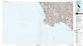 |
Santa Ana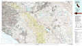 |
Palm Springs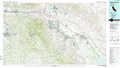 |
Santa Catalina Island |
Oceanside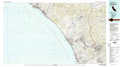 |
Borrego Valley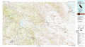 |
> Back to 33116a1 at 1:250,000 scale
> Back to U.S. Topo Maps home
1:24,000 Topo Quads covered by the spatial extent of this 100k map (Santa Ana)
|
La Habra 
|
Yorba Linda 
|
Prado Dam 
|
Corona North 
|
Riverside West 
|
Riverside East 
|
Sunnymead 
|
El Casco 
|
|
Anaheim 
|
Orange 
|
Black Star Canyon 
|
Corona South 
|
Lake Mathews 
|
Steele Peak 
|
Perris 
|
Lakeview 
|
|
Newport Beach 
|
Tustin 
|
El Toro 
|
Santiago Peak 
|
Alberhill 
|
Lake Elsinore 
|
Romoland 
|
Winchester 
|
|
Laguna Beach 
|
San Juan Capistrano 
|
Canada Gobernadora * 
|
Sitton Peak 
|
Wildomar 
|
Murrieta 
|
Bachelor Mountain 
|