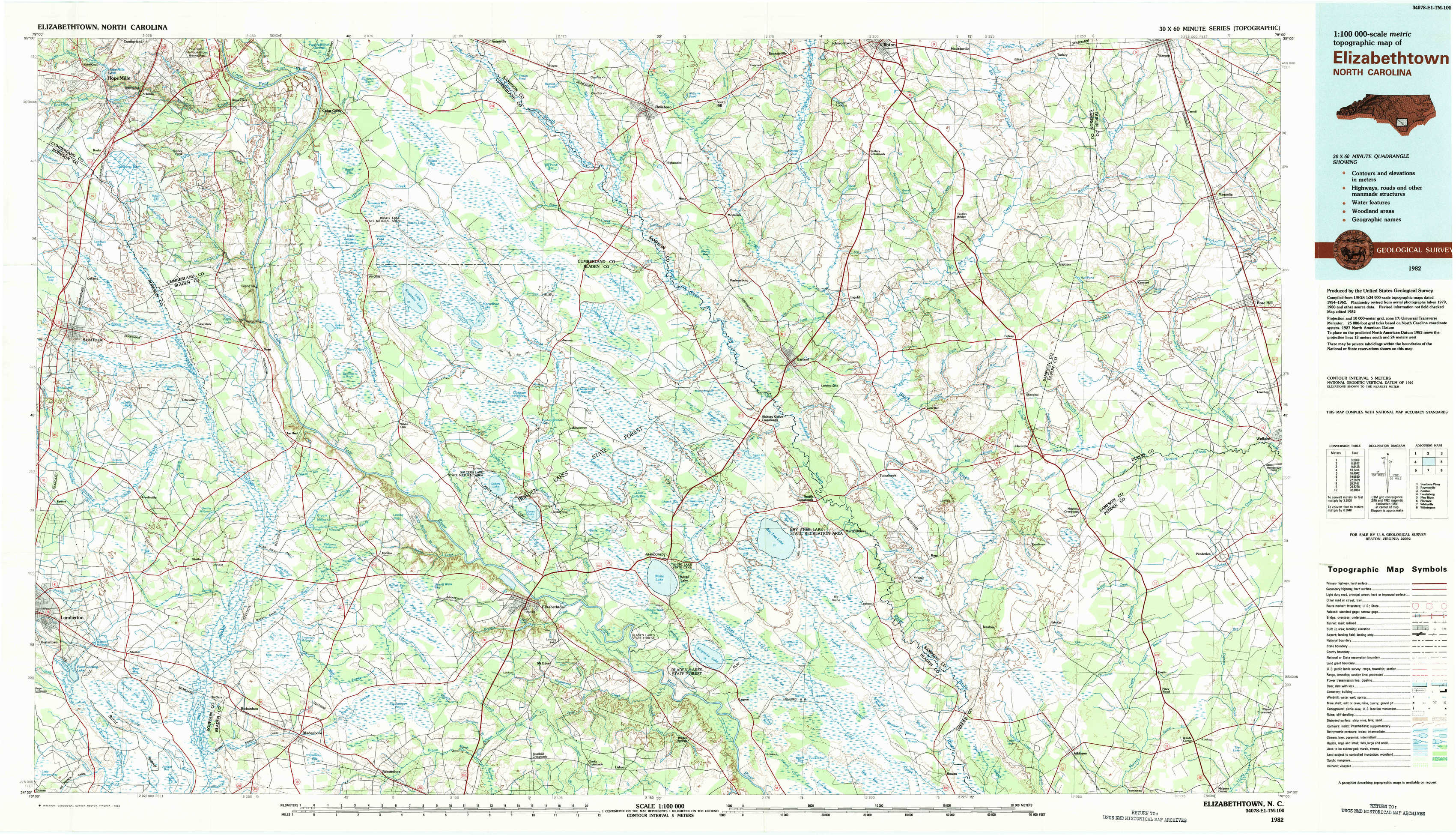
Elizabethtown Topo Map North Carolina
To zoom in, hover over the map of Elizabethtown
USGS Topo Map 34078e1 - 1:100,000 scale
| Topo Map Name: | Elizabethtown |
| USGS Topo Quad ID: | 34078e1 |
| Print Size: | ca. 39" wide x 24" high |
| Southeast Coordinates: | 34.5° N latitude / 78° W longitude |
| Map Center Coordinates: | 34.75° N latitude / 78.5° W longitude |
| U.S. State: | NC |
| Filename: | 34078e1.jpg |
| Download Map JPG Image: | Elizabethtown topo map 1:100,000 scale |
| Map Type: | Topographic |
| Topo Series: | 30´x60´ |
| Map Scale: | 1:100,000 |
| Source of Map Images: | United States Geological Survey (USGS) |
| Alternate Map Versions: |
Elizabethtown NC 1982, updated 1983 Download PDF Buy paper map |
1:100,000 Topos surrounding Elizabethtown
Southern Pines |
Fayetteville |
Kinston |
Laurinburg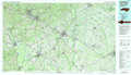 |
Elizabethtown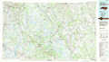 |
New River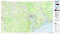 |
Florence |
Whiteville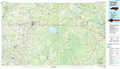 |
Wilmington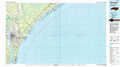 |
> Back to 34078a1 at 1:250,000 scale
> Back to U.S. Topo Maps home
1:24,000 Topo Quads covered by the spatial extent of this 100k map (Elizabethtown)
|
Hope Mills 
|
Cedar Creek 
|
Autryville 
|
Roseboro 
|
Bonnetsville 
|
Clinton South 
|
Turkey 
|
Warsaw South 
|
|
Saint Pauls 
|
Duart 
|
Jerome 
|
Ammon 
|
Garland 
|
Ingold 
|
Delway 
|
Rose Hill 
|
|
Northeast Lumberton 
|
Tar Heel 
|
Dublin 
|
Elizabethtown North 
|
White Lake 
|
Tomahawk 
|
Harrells 
|
Wallace West 
|
|
Southeast Lumberton 
|
Bladenboro 
|
Abbottsburg 
|
Elizabethtown South 
|
Singletary Lake 
|
Rowan 
|
Atkinson 
|
Costin 
|