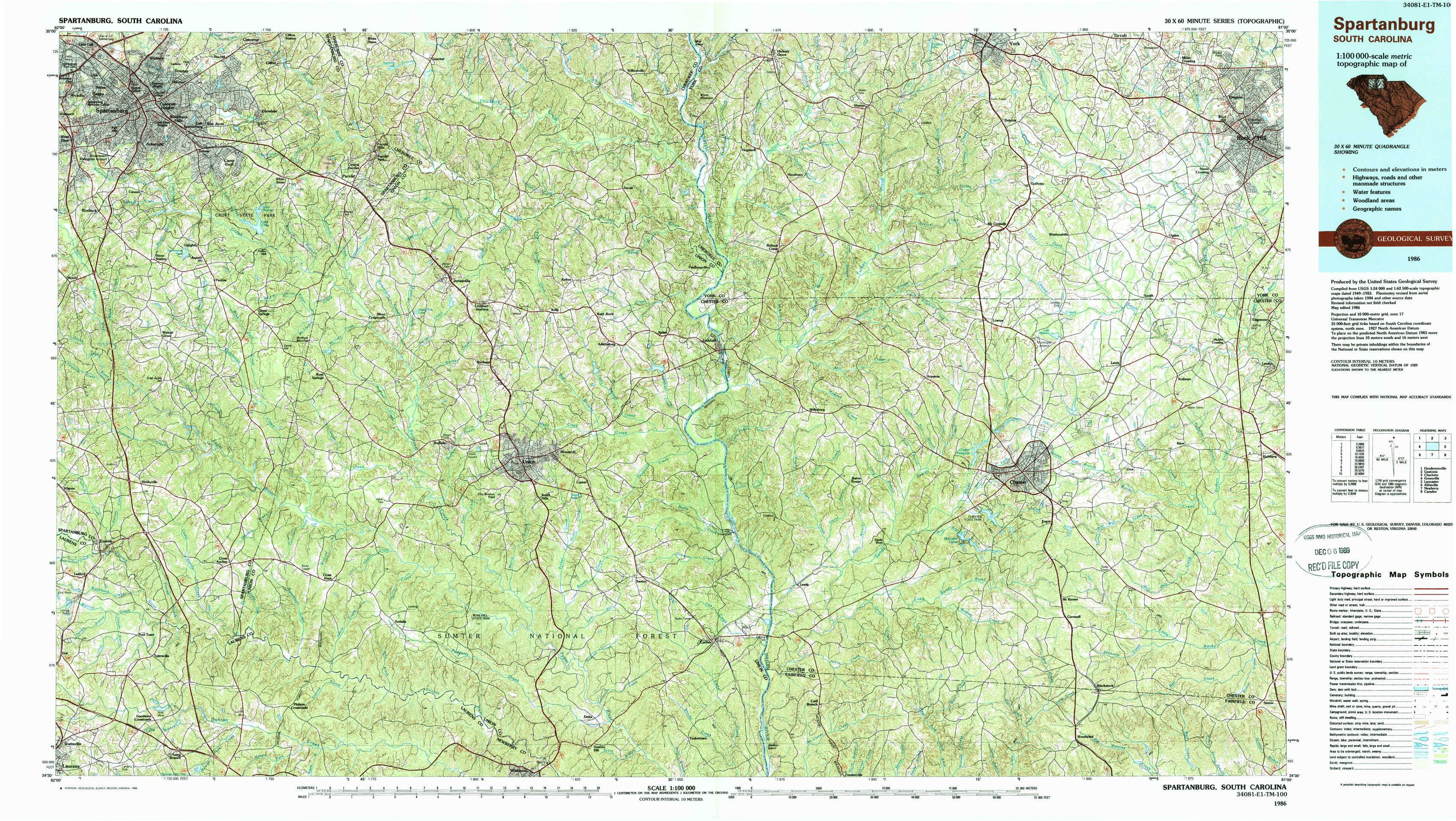
Spartanburg Topo Map South Carolina
To zoom in, hover over the map of Spartanburg
USGS Topo Map 34081e1 - 1:100,000 scale
| Topo Map Name: | Spartanburg |
| USGS Topo Quad ID: | 34081e1 |
| Print Size: | ca. 39" wide x 24" high |
| Southeast Coordinates: | 34.5° N latitude / 81° W longitude |
| Map Center Coordinates: | 34.75° N latitude / 81.5° W longitude |
| U.S. State: | SC |
| Filename: | 34081e1.jpg |
| Download Map JPG Image: | Spartanburg topo map 1:100,000 scale |
| Map Type: | Topographic |
| Topo Series: | 30´x60´ |
| Map Scale: | 1:100,000 |
| Source of Map Images: | United States Geological Survey (USGS) |
| Alternate Map Versions: |
Spartanburg SC 1986, updated 1986 Download PDF Buy paper map Spartanburg SC 1986, updated 1989 Download PDF Buy paper map |
1:100,000 Topos surrounding Spartanburg
Hendersonville |
Gastonia |
Charlotte |
Greenville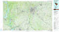 |
Spartanburg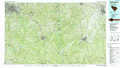 |
Lancaster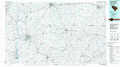 |
Abbeville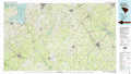 |
Newberry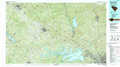 |
Camden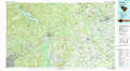 |
> Back to 34080a1 at 1:250,000 scale
> Back to U.S. Topo Maps home
1:24,000 Topo Quads covered by the spatial extent of this 100k map (Spartanburg)
|
Spartanburg 
|
Pacolet 
|
Pacolet Mills 
|
Wilkinsville 
|
Hickory Grove 
|
Sharon 
|
Tirzah 
|
Rock Hill West 
|
|
Moore 
|
Glenn Springs 
|
Jonesville 
|
Kelton 
|
Lockhart 
|
Armenia 
|
Lowrys 
|
Edgemoor 
|
|
Enoree 
|
Cross Anchor 
|
Union West 
|
Union East 
|
Leeds 
|
Baton Rouge 
|
Chester 
|
Richburg 
|
|
Ora 
|
Philson Crossroads 
|
Sedalia 
|
Whitmire North 
|
Carlisle 
|
Carlisle Se 
|
Blackstock 
|
Stover 
|