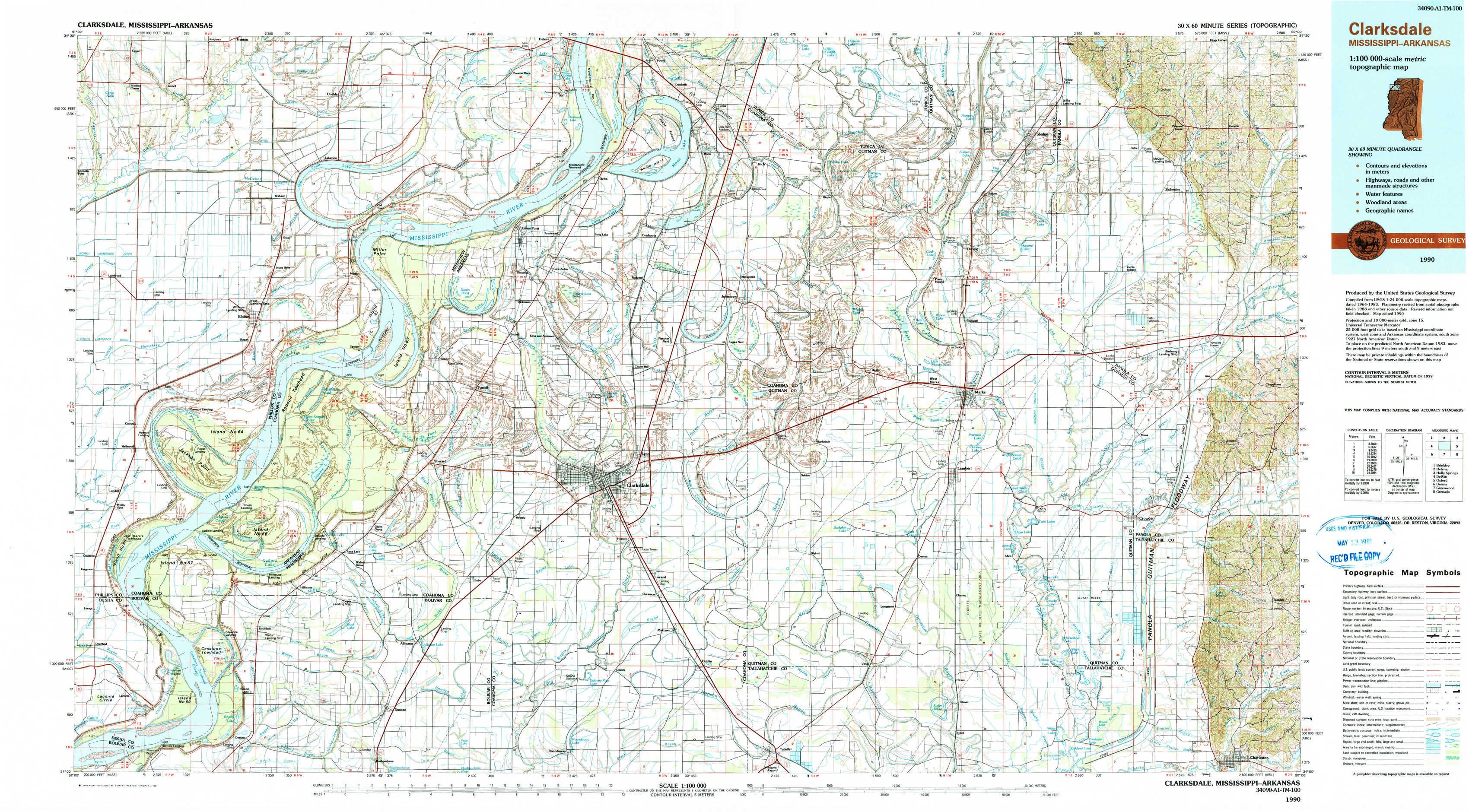
Clarksdale Topo Map Mississippi
To zoom in, hover over the map of Clarksdale
USGS Topo Map 34090a1 - 1:100,000 scale
| Topo Map Name: | Clarksdale |
| USGS Topo Quad ID: | 34090a1 |
| Print Size: | ca. 39" wide x 24" high |
| Southeast Coordinates: | 34° N latitude / 90° W longitude |
| Map Center Coordinates: | 34.25° N latitude / 90.5° W longitude |
| U.S. States: | MS, AR |
| Filename: | 34090a1.jpg |
| Download Map JPG Image: | Clarksdale topo map 1:100,000 scale |
| Map Type: | Topographic |
| Topo Series: | 30´x60´ |
| Map Scale: | 1:100,000 |
| Source of Map Images: | United States Geological Survey (USGS) |
| Alternate Map Versions: |
Clarksdale MS 1984, updated 1985 Download PDF Buy paper map Clarksdale MS 1990, updated 1991 Download PDF Buy paper map |
1:100,000 Topos surrounding Clarksdale
Brinkley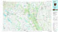 |
Helena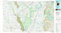 |
Holly Springs |
De Witt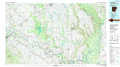 |
Clarksdale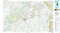 |
Oxford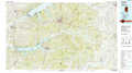 |
Dumas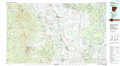 |
Greenwood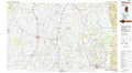 |
Grenada |
> Back to 34090a1 at 1:250,000 scale
> Back to U.S. Topo Maps home
1:24,000 Topo Quads covered by the spatial extent of this 100k map (Clarksdale)
|
Watkins Corner 
|
Lakeview 
|
Friars Point Nw 
|
Moon Lake 
|
Lula 
|
Falcon 
|
Crenshaw South 
|
Pleasant Grove 
|
|
Lambrook 
|
Elaine 
|
Friars Point 
|
Coahoma 
|
Jonestown 
|
Marks 
|
Curtis Station 
|
Asa 
|
|
Mellwood 
|
Rena Lara 
|
Sherard 
|
Clarksdale 
|
Sabino 
|
Lambert 
|
Crowder 
|
Tocowa 
|
|
Laconia 
|
Round Lake 
|
Duncan 
|
Mattson 
|
Tutwiler 
|
Vance 
|
Fishhook Lake 
|
Charleston 
|