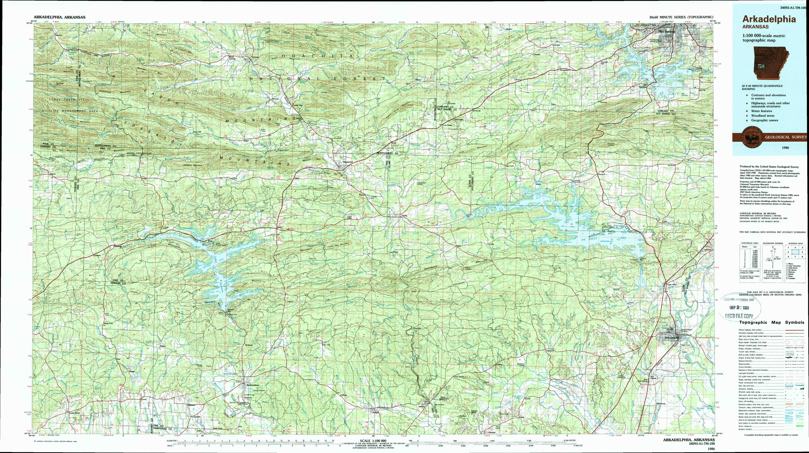
Arkadelphia Topo Map Arkansas
To zoom in, hover over the map of Arkadelphia
USGS Topo Map 34093a1 - 1:100,000 scale
| Topo Map Name: | Arkadelphia |
| USGS Topo Quad ID: | 34093a1 |
| Print Size: | ca. 39" wide x 24" high |
| Southeast Coordinates: | 34° N latitude / 93° W longitude |
| Map Center Coordinates: | 34.25° N latitude / 93.5° W longitude |
| U.S. State: | AR |
| Filename: | 34093a1.jpg |
| Download Map JPG Image: | Arkadelphia topo map 1:100,000 scale |
| Map Type: | Topographic |
| Topo Series: | 30´x60´ |
| Map Scale: | 1:100,000 |
| Source of Map Images: | United States Geological Survey (USGS) |
| Alternate Map Versions: |
Arkadelphia AR 1986, updated 1986 Download PDF Buy paper map Arkadelphia AR 1986, updated 1988 Download PDF Buy paper map |
1:100,000 Topos surrounding Arkadelphia
Mena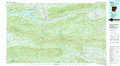 |
Lake Ouachita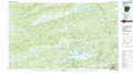 |
Little Rock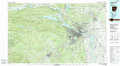 |
De Queen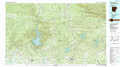 |
Arkadelphia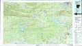 |
Malvern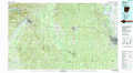 |
Idabel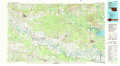 |
Hope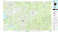 |
Camden |
> Back to 34092a1 at 1:250,000 scale
> Back to U.S. Topo Maps home
1:24,000 Topo Quads covered by the spatial extent of this 100k map (Arkadelphia)
|
Big Fork 
|
Polk Creek Mountain 
|
Norman 
|
Caddo Gap 
|
Bonnerdale 
|
Pearcy 
|
Hempwallace 
|
Hot Springs South 
|
|
Athens 
|
Langley 
|
Lodi 
|
Glenwood 
|
Amity 
|
Point Cedar 
|
Bismark 
|
De Roche 
|
|
Newhope 
|
Center Point Ne 
|
Narrows Dam 
|
Murfreesboro Ne 
|
Chalybeate Mountain West 
|
Chalybeate Mountain East 
|
De Gray 
|
Caddo Valley 
|
|
Center Point 
|
Nathan 
|
Murfreesboro 
|
Delight 
|
Antoine 
|
Okolona North 
|
Hollywood 
|
Arkadelphia 
|