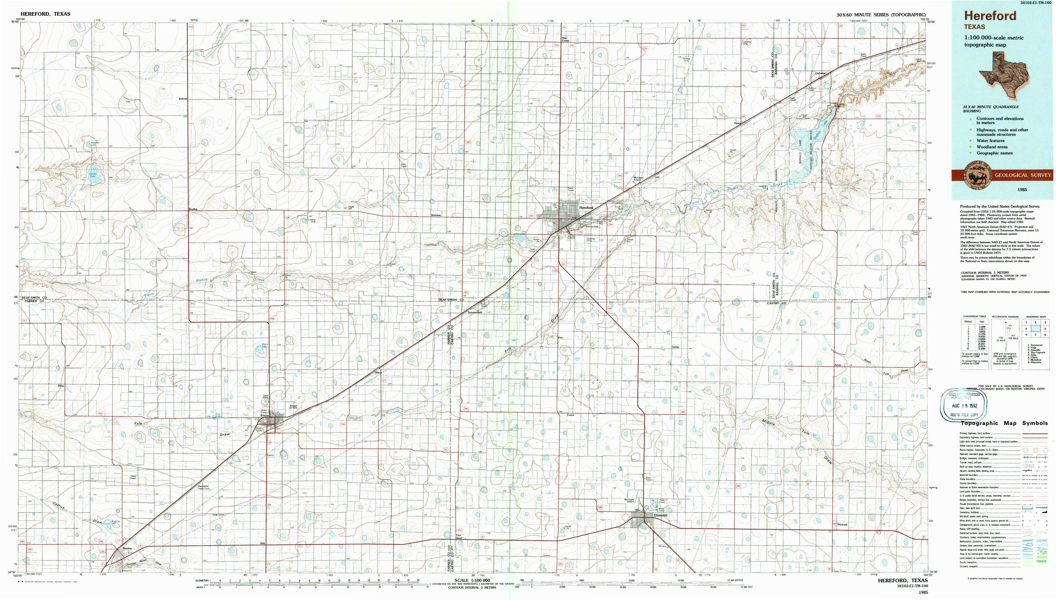
Hereford Topo Map Texas
To zoom in, hover over the map of Hereford
USGS Topo Map 34102e1 - 1:100,000 scale
| Topo Map Name: | Hereford |
| USGS Topo Quad ID: | 34102e1 |
| Print Size: | ca. 39" wide x 24" high |
| Southeast Coordinates: | 34.5° N latitude / 102° W longitude |
| Map Center Coordinates: | 34.75° N latitude / 102.5° W longitude |
| U.S. State: | TX |
| Filename: | 34102e1.jpg |
| Download Map JPG Image: | Hereford topo map 1:100,000 scale |
| Map Type: | Topographic |
| Topo Series: | 30´x60´ |
| Map Scale: | 1:100,000 |
| Source of Map Images: | United States Geological Survey (USGS) |
| Alternate Map Versions: |
Hereford TX 1985, updated 1985 Download PDF Buy paper map Hereford TX 1985, updated 1992 Download PDF Buy paper map |
1:100,000 Topos surrounding Hereford
Tucumcari |
Vega |
Amarillo |
The Caprock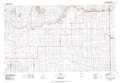 |
Hereford |
Tulia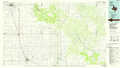 |
Clovis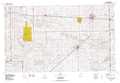 |
Muleshoe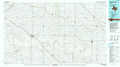 |
Plainview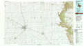 |
> Back to 34102a1 at 1:250,000 scale
> Back to U.S. Topo Maps home
1:24,000 Topo Quads covered by the spatial extent of this 100k map (Hereford)
|
Mustang Lake 
|
Walcott 
|
Westway Nw 
|
Westway Ne 
|
Milo Center 
|
Hereford Ne 
|
Dawn 
|
Umbarger 
|
|
Garcia Lake 
|
Bootleg 
|
Chalk Hill 
|
Westway 
|
Hereford 
|
Hereford Se 
|
Buffalo Lake Sw 
|
Happy Hereford Ranch 
|
|
Rhea 
|
Twin Lakes 
|
Friona 
|
Summerfield 
|
Easter 
|
Jumbo 
|
Nazareth Nw 
|
Arney 
|
|
Bovina 
|
Parmerton 
|
Hub 
|
Tam Anne 
|
Dimmit Sw 
|
Dimmitt 
|
Nazareth Sw 
|
Nazareth 
|