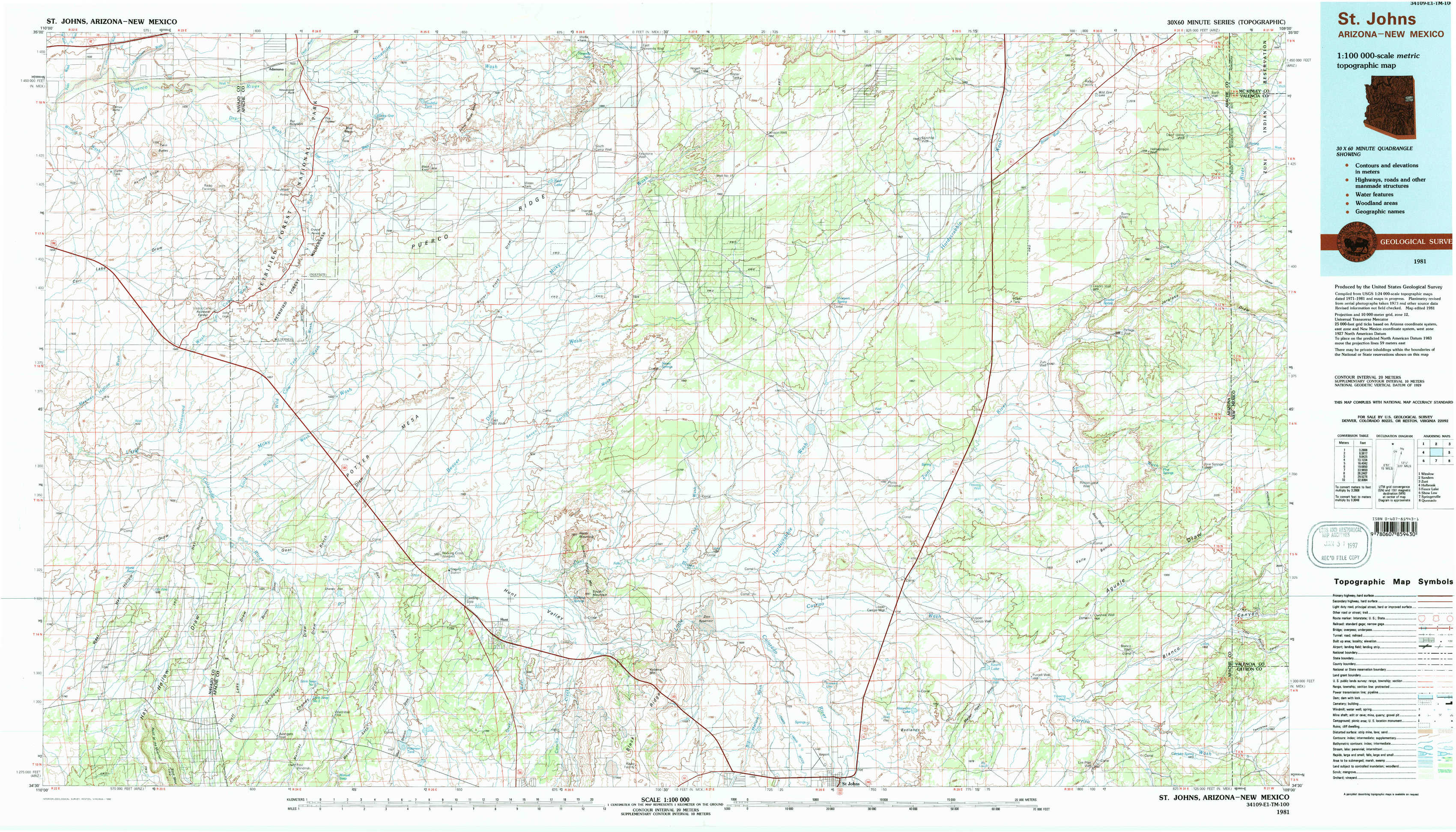
Saint Johns Topo Map Arizona
To zoom in, hover over the map of Saint Johns
USGS Topo Map 34109e1 - 1:100,000 scale
| Topo Map Name: | Saint Johns |
| USGS Topo Quad ID: | 34109e1 |
| Print Size: | ca. 39" wide x 24" high |
| Southeast Coordinates: | 34.5° N latitude / 109° W longitude |
| Map Center Coordinates: | 34.75° N latitude / 109.5° W longitude |
| U.S. States: | AZ, NM |
| Filename: | 34109e1.jpg |
| Download Map JPG Image: | Saint Johns topo map 1:100,000 scale |
| Map Type: | Topographic |
| Topo Series: | 30´x60´ |
| Map Scale: | 1:100,000 |
| Source of Map Images: | United States Geological Survey (USGS) |
| Alternate Map Versions: |
Saint Johns AZ 1981, updated 1996 Download PDF Buy paper map |
1:100,000 Topos surrounding Saint Johns
Winslow |
Sanders |
Zuni |
Holbrook |
Saint Johns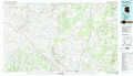 |
Fence Lake |
Show Low |
Springerville |
Quemado |
> Back to 34108a1 at 1:250,000 scale
> Back to U.S. Topo Maps home
1:24,000 Topo Quads covered by the spatial extent of this 100k map (Saint Johns)
|
Carrizo Butte 
|
Adamana 
|
Sorrel Horse Mesa 
|
Ninemile Seep 
|
Hogan Well 
|
Fairchild Well 
|
Wild Cow Lake 
|
Barth Well 
|
|
Padilla Tank 
|
Agate House 
|
Milky Ranch 
|
Seven Springs 
|
Long H Ranch 
|
Prospect Spring 
|
Ceadro Spring 
|
Ceadro Spring Se 
|
|
Hay Hollow 
|
Little Milky Wash 
|
Potter Mesa Tank 
|
Stinking Springs Mountain 
|
Cedar Lake Wash 
|
Schnebly Well 
|
Valle Bonito 
|
Valle Bonito Ne 
|
|
Point Of The Mountain 
|
Manuel Seep 
|
Hunt 
|
Stinking Springs 
|
Zion Reservoir 
|
Saint Johns North 
|
Kearn Lake 
|
Carrisito Spring 
|