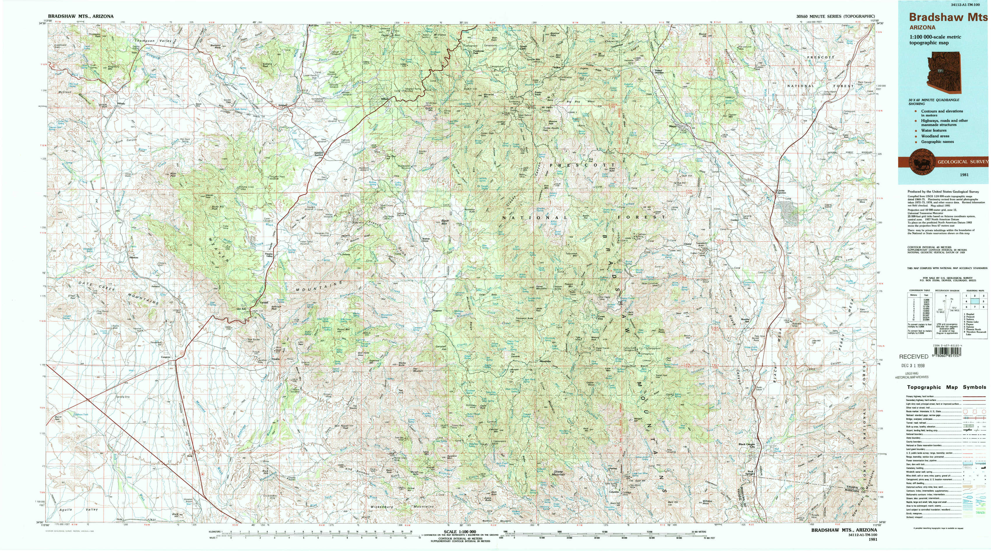
Bradshaw Mountains Topo Map Arizona
To zoom in, hover over the map of Bradshaw Mountains
USGS Topo Map 34112a1 - 1:100,000 scale
| Topo Map Name: | Bradshaw Mountains |
| USGS Topo Quad ID: | 34112a1 |
| Print Size: | ca. 39" wide x 24" high |
| Southeast Coordinates: | 34° N latitude / 112° W longitude |
| Map Center Coordinates: | 34.25° N latitude / 112.5° W longitude |
| U.S. State: | AZ |
| Filename: | 34112a1.jpg |
| Download Map JPG Image: | Bradshaw Mountains topo map 1:100,000 scale |
| Map Type: | Topographic |
| Topo Series: | 30´x60´ |
| Map Scale: | 1:100,000 |
| Source of Map Images: | United States Geological Survey (USGS) |
| Alternate Map Versions: |
Bradshaw Mts AZ 1981, updated 1996 Download PDF Buy paper map |
1:100,000 Topos surrounding Bradshaw Mountains
Bagdad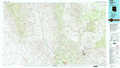 |
Prescott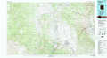 |
Sedona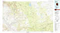 |
Alamo Lake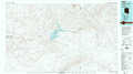 |
Bradshaw Mountains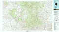 |
Payson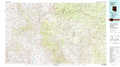 |
Salome |
Phoenix North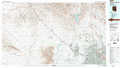 |
Theodore Roosevelt Lake |
> Back to 34112a1 at 1:250,000 scale
> Back to U.S. Topo Maps home
1:24,000 Topo Quads covered by the spatial extent of this 100k map (Bradshaw Mountains)
|
Hillside 
|
Bismarck Mesa 
|
Kirkland 
|
Wilhoit 
|
Groom Creek 
|
Poland Junction 
|
Mayer 
|
Estler Peak 
|
|
Date 
|
Weaver Peak 
|
Peeples Valley 
|
Walnut Grove 
|
Battleship Butte 
|
Battle Flat 
|
Cleator 
|
Cordes Junction 
|
|
O'Neill Pass 
|
Congress 
|
Yarnell 
|
Wagoner 
|
Minnehaha 
|
Crown King 
|
Bumble Bee 
|
Joes Hill 
|
|
Congress Sw 
|
Flores 
|
Sam Powell Peak 
|
Morgan Butte 
|
Copperopolis 
|
Columbia 
|
Black Canyon City 
|
Squaw Creek Mesa 
|