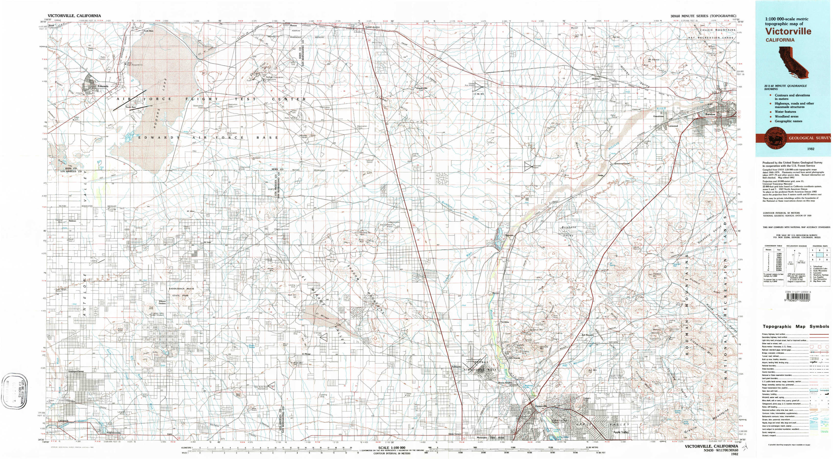
Victorville Topo Map California
To zoom in, hover over the map of Victorville
USGS Topo Map 34117e1 - 1:100,000 scale
| Topo Map Name: | Victorville |
| USGS Topo Quad ID: | 34117e1 |
| Print Size: | ca. 39" wide x 24" high |
| Southeast Coordinates: | 34.5° N latitude / 117° W longitude |
| Map Center Coordinates: | 34.75° N latitude / 117.5° W longitude |
| U.S. State: | CA |
| Filename: | 34117e1.jpg |
| Download Map JPG Image: | Victorville topo map 1:100,000 scale |
| Map Type: | Topographic |
| Topo Series: | 30´x60´ |
| Map Scale: | 1:100,000 |
| Source of Map Images: | United States Geological Survey (USGS) |
| Alternate Map Versions: |
Victorville CA 1982, updated 1982 Download PDF Buy paper map |
1:100,000 Topos surrounding Victorville
Tehachapi |
Cuddeback Lake |
Soda Mountains |
Lancaster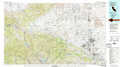 |
Victorville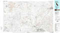 |
Newberry Springs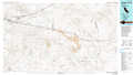 |
Los Angeles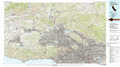 |
San Bernardino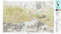 |
Big Bear Lake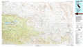 |
> Back to 34116a1 at 1:250,000 scale
> Back to U.S. Topo Maps home
1:24,000 Topo Quads covered by the spatial extent of this 100k map (Victorville)
|
Edwards 
|
Rogers Lake North 
|
Leuhman Ridge 
|
Kramer Junction 
|
Kramer Hills 
|
Twelve Gauge Lake 
|
Hinkley 
|
Barstow 
|
|
Redman 
|
Rogers Lake South 
|
Jackrabbit Hill 
|
Red Buttes 
|
Astley Rancho 
|
Wild Crossing 
|
Hodge 
|
Barstow Se 
|
|
Alpine Butte 
|
Hi Vista 
|
Adobe Mountain 
|
Shadow Mountains 
|
Victorville Nw 
|
Helendale 
|
Turtle Valley 
|
Stoddard Well 
|
|
Littlerock 
|
Lovejoy Buttes 
|
El Mirage 
|
Shadow Mountains Se 
|
Adelanto 
|
Victorville 
|
Apple Valley North 
|
Fairview Valley 
|