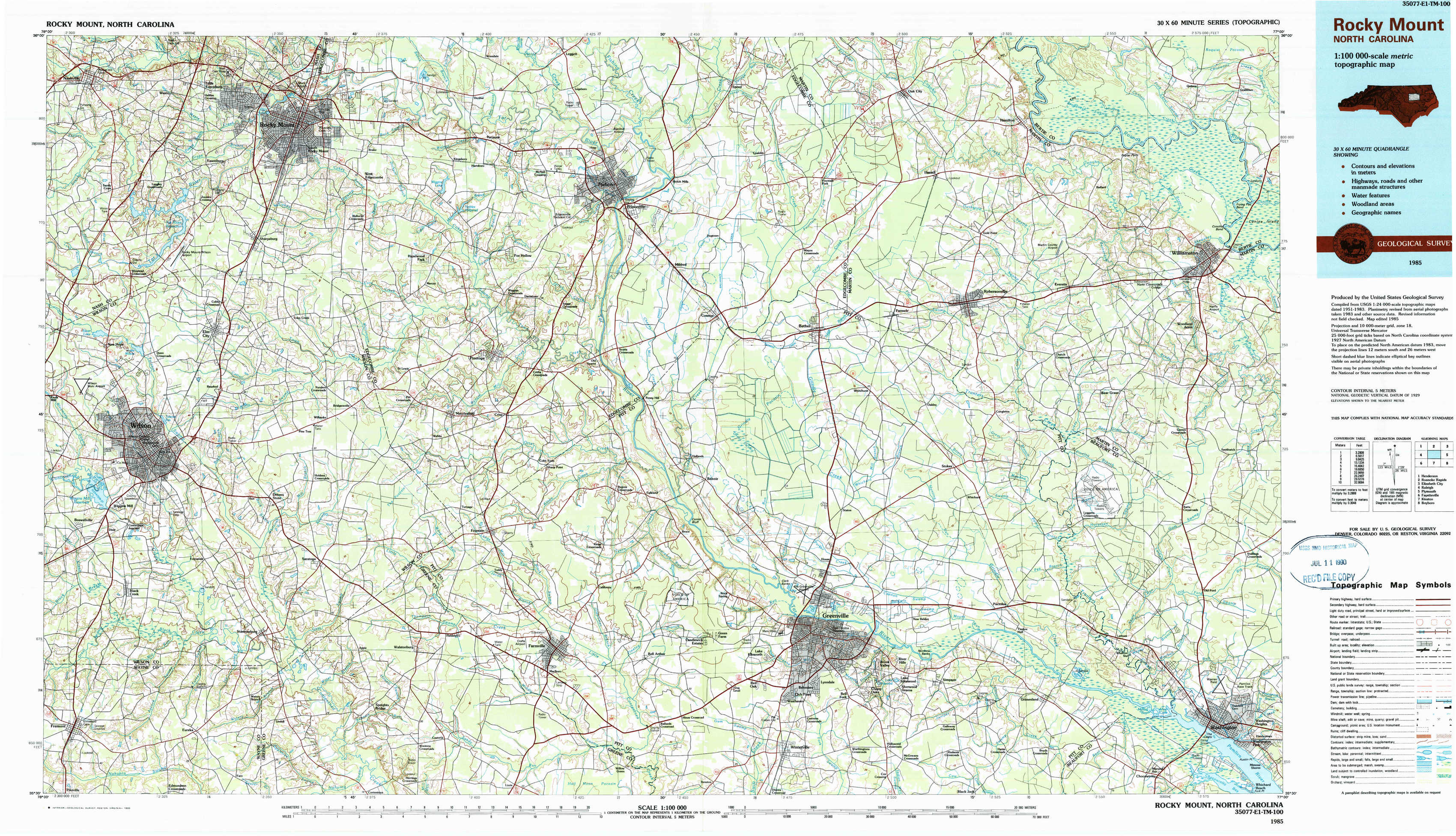
Rocky Mount Topo Map North Carolina
To zoom in, hover over the map of Rocky Mount
USGS Topo Map 35077e1 - 1:100,000 scale
| Topo Map Name: | Rocky Mount |
| USGS Topo Quad ID: | 35077e1 |
| Print Size: | ca. 39" wide x 24" high |
| Southeast Coordinates: | 35.5° N latitude / 77° W longitude |
| Map Center Coordinates: | 35.75° N latitude / 77.5° W longitude |
| U.S. State: | NC |
| Filename: | 35077e1.jpg |
| Download Map JPG Image: | Rocky Mount topo map 1:100,000 scale |
| Map Type: | Topographic |
| Topo Series: | 30´x60´ |
| Map Scale: | 1:100,000 |
| Source of Map Images: | United States Geological Survey (USGS) |
| Alternate Map Versions: |
Rocky Mount NC 1985, updated 1985 Download PDF Buy paper map Rocky Mount NC 1985, updated 1990 Download PDF Buy paper map |
1:100,000 Topos surrounding Rocky Mount
Henderson |
Roanoke Rapids |
Elizabeth City |
Raleigh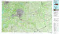 |
Rocky Mount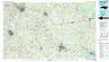 |
Plymouth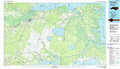 |
Fayetteville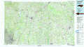 |
Kinston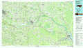 |
Bayboro |
> Back to 35076a1 at 1:250,000 scale
> Back to U.S. Topo Maps home
1:24,000 Topo Quads covered by the spatial extent of this 100k map (Rocky Mount)
|
Nashville 
|
Rocky Mount 
|
Hartsease 
|
Tarboro 
|
Speed 
|
Oak City 
|
Hamilton 
|
Quitsna 
|
|
Winstead Crossroads 
|
Elm City 
|
Pinetops 
|
Old Sparta 
|
Conetoe 
|
Robersonville West 
|
Robersonville East 
|
Williamston 
|
|
Wilson 
|
Saratoga 
|
Fountain 
|
Falkland 
|
Greenville Nw 
|
Greenville Ne 
|
Leggetts Crossroads 
|
Old Ford 
|
|
Fremont 
|
Stantonsburg 
|
Walstonburg 
|
Farmville 
|
Greenville Sw 
|
Greenville Se 
|
Grimesland 
|
Washington 
|