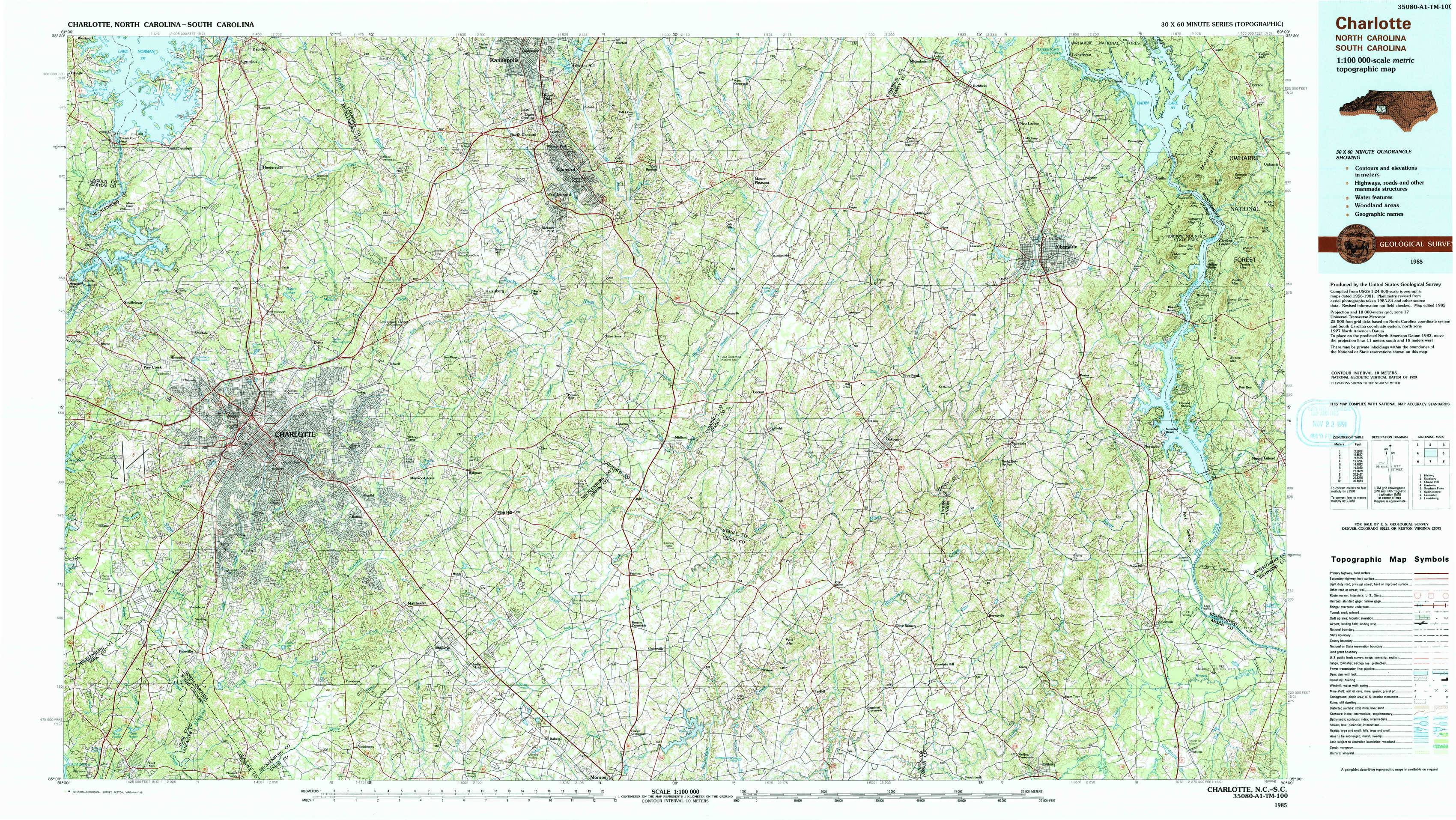
Charlotte Topo Map North Carolina
To zoom in, hover over the map of Charlotte
USGS Topo Map 35080a1 - 1:100,000 scale
| Topo Map Name: | Charlotte |
| USGS Topo Quad ID: | 35080a1 |
| Print Size: | ca. 39" wide x 24" high |
| Southeast Coordinates: | 35° N latitude / 80° W longitude |
| Map Center Coordinates: | 35.25° N latitude / 80.5° W longitude |
| U.S. States: | NC, SC |
| Filename: | 35080a1.jpg |
| Download Map JPG Image: | Charlotte topo map 1:100,000 scale |
| Map Type: | Topographic |
| Topo Series: | 30´x60´ |
| Map Scale: | 1:100,000 |
| Source of Map Images: | United States Geological Survey (USGS) |
| Alternate Map Versions: |
Charlotte NC 1985, updated 1986 Download PDF Buy paper map Charlotte NC 1985, updated 1991 Download PDF Buy paper map |
1:100,000 Topos surrounding Charlotte
Hickory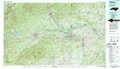 |
Salisbury |
Chapel Hill |
Gastonia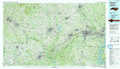 |
Charlotte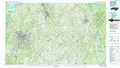 |
Southern Pines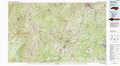 |
Spartanburg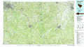 |
Lancaster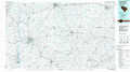 |
Laurinburg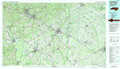 |
> Back to 35080a1 at 1:250,000 scale
> Back to U.S. Topo Maps home
1:24,000 Topo Quads covered by the spatial extent of this 100k map (Charlotte)
|
Lake Norman South 
|
Cornelius 
|
Kannapolis 
|
Concord 
|
Mount Pleasant 
|
Richfield 
|
New London 
|
Badin 
|
|
Mountain Island Lake 
|
Derita 
|
Harrisburg 
|
Concord Se 
|
Locust 
|
Frog Pond 
|
Albemarle 
|
Morrow Mountain 
|
|
Charlotte West 
|
Charlotte East 
|
Mint Hill 
|
Midland 
|
Stanfield 
|
Oakboro 
|
Aquadale 
|
Mount Gilead West 
|
|
Fort Mill 
|
Weddington 
|
Matthews 
|
Bakers 
|
Watson 
|
Olive Branch 
|
Polkton 
|
Ansonville 
|