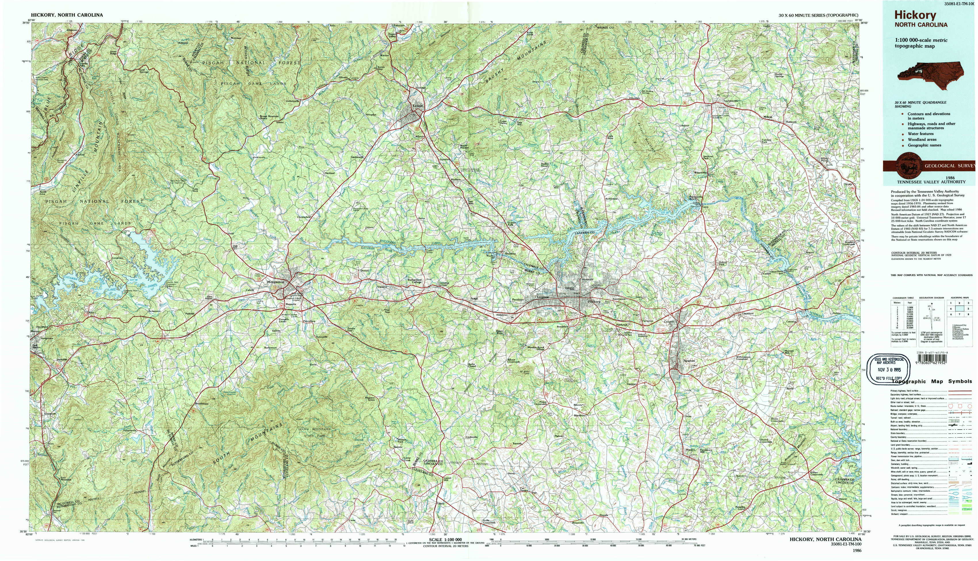
Hickory Topo Map North Carolina
To zoom in, hover over the map of Hickory
USGS Topo Map 35081e1 - 1:100,000 scale
| Topo Map Name: | Hickory |
| USGS Topo Quad ID: | 35081e1 |
| Print Size: | ca. 39" wide x 24" high |
| Southeast Coordinates: | 35.5° N latitude / 81° W longitude |
| Map Center Coordinates: | 35.75° N latitude / 81.5° W longitude |
| U.S. State: | NC |
| Filename: | 35081e1.jpg |
| Download Map JPG Image: | Hickory topo map 1:100,000 scale |
| Map Type: | Topographic |
| Topo Series: | 30´x60´ |
| Map Scale: | 1:100,000 |
| Source of Map Images: | United States Geological Survey (USGS) |
| Alternate Map Versions: |
Hickory NC 1986, updated 1986 Download PDF Buy paper map Hickory NC 1986, updated 1995 Download PDF Buy paper map Hickory NC 1986, updated 1995 Download PDF Buy paper map |
1:100,000 Topos surrounding Hickory
Johnson City |
Boone |
Winston-Salem |
Asheville |
Hickory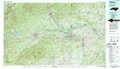 |
Salisbury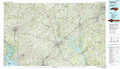 |
Hendersonville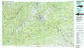 |
Gastonia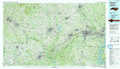 |
Charlotte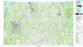 |
> Back to 35080a1 at 1:250,000 scale
> Back to U.S. Topo Maps home
1:24,000 Topo Quads covered by the spatial extent of this 100k map (Hickory)
|
Linville Falls 
|
Chestnut Mountain 
|
Collettsville 
|
Lenoir 
|
Kings Creek 
|
Ellendale 
|
Taylorsville 
|
Hiddenite 
|
|
Ashford 
|
Oak Hill 
|
Morganton North 
|
Drexel 
|
Granite Falls 
|
Bethlehem 
|
Millersville 
|
Stony Point 
|
|
Marion East 
|
Glen Alpine 
|
Morganton South 
|
Valdese 
|
Longview 
|
Hickory 
|
Newton 
|
Catawba 
|
|
Glenwood 
|
Dysartsville 
|
Benn Knob 
|
Casar 
|
Banoak 
|
Reepsville 
|
Maiden 
|
Denver 
|