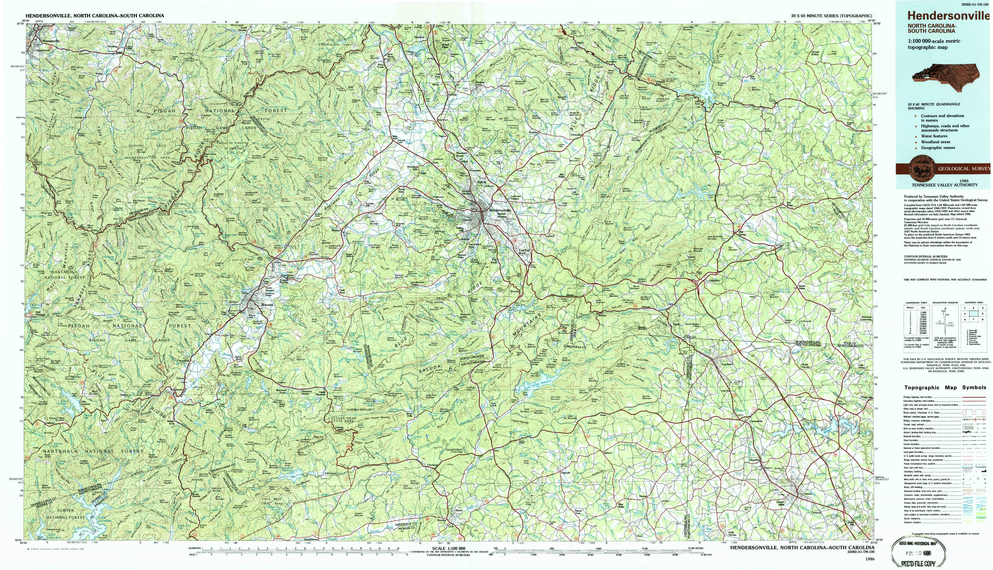
Hendersonville Topo Map North Carolina
To zoom in, hover over the map of Hendersonville
USGS Topo Map 35082a1 - 1:100,000 scale
| Topo Map Name: | Hendersonville |
| USGS Topo Quad ID: | 35082a1 |
| Print Size: | ca. 39" wide x 24" high |
| Southeast Coordinates: | 35° N latitude / 82° W longitude |
| Map Center Coordinates: | 35.25° N latitude / 82.5° W longitude |
| U.S. States: | NC, SC |
| Filename: | 35082a1.jpg |
| Download Map JPG Image: | Hendersonville topo map 1:100,000 scale |
| Map Type: | Topographic |
| Topo Series: | 30´x60´ |
| Map Scale: | 1:100,000 |
| Source of Map Images: | United States Geological Survey (USGS) |
| Alternate Map Versions: |
Hendersonville NC 1986, updated 1986 Download PDF Buy paper map Hendersonville NC 1986, updated 1986 Download PDF Buy paper map |
1:100,000 Topos surrounding Hendersonville
Knoxville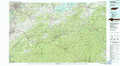 |
Asheville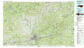 |
Hickory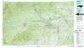 |
Fontana Lake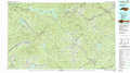 |
Hendersonville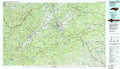 |
Gastonia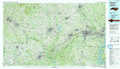 |
Toccoa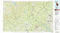 |
Greenville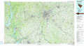 |
Spartanburg |
> Back to 35082a1 at 1:250,000 scale
> Back to U.S. Topo Maps home
1:24,000 Topo Quads covered by the spatial extent of this 100k map (Hendersonville)
|
Waynesville 
|
Cruso 
|
Dunsmore Mountain 
|
Skyland 
|
Fruitland 
|
Bat Cave 
|
Lake Lure 
|
Shingle Hollow 
|
|
Sam Knob 
|
Shining Rock 
|
Pisgah Forest 
|
Horse Shoe 
|
Hendersonville 
|
Cliffield Mountain 
|
Mill Spring 
|
Pea Ridge 
|
|
Lake Toxaway 
|
Rosman 
|
Brevard 
|
Standingstone Mountain 
|
Zirconia 
|
Saluda 
|
Landrum 
|
Fingerville West 
|
|
Reid 
|
Eastatoe Gap 
|
Table Rock 
|
Cleveland 
|
Slater 
|
Tigerville 
|
Campobello 
|
Inman 
|