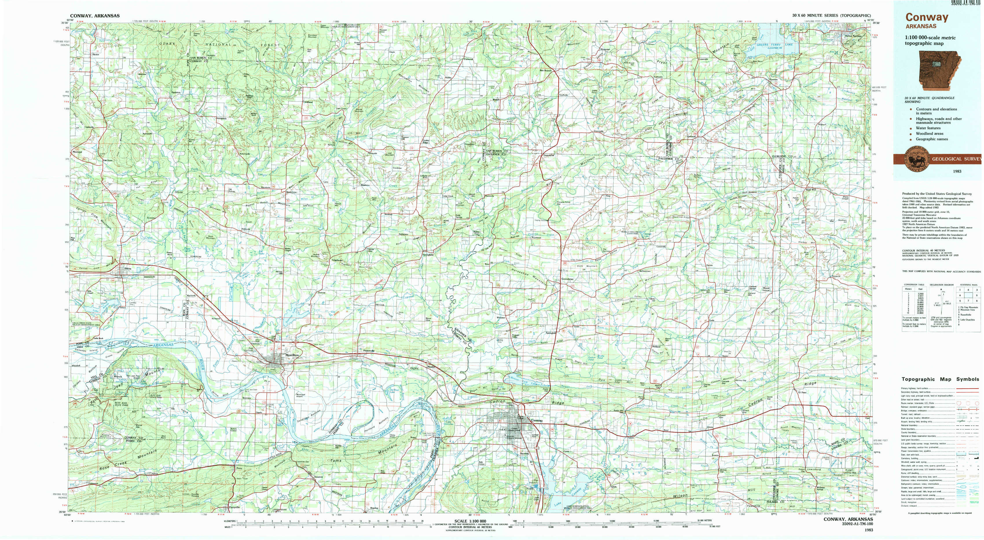
Conway Topo Map Arkansas
To zoom in, hover over the map of Conway
USGS Topo Map 35092a1 - 1:100,000 scale
| Topo Map Name: | Conway |
| USGS Topo Quad ID: | 35092a1 |
| Print Size: | ca. 39" wide x 24" high |
| Southeast Coordinates: | 35° N latitude / 92° W longitude |
| Map Center Coordinates: | 35.25° N latitude / 92.5° W longitude |
| U.S. State: | AR |
| Filename: | 35092a1.jpg |
| Download Map JPG Image: | Conway topo map 1:100,000 scale |
| Map Type: | Topographic |
| Topo Series: | 30´x60´ |
| Map Scale: | 1:100,000 |
| Source of Map Images: | United States Geological Survey (USGS) |
| Alternate Map Versions: |
Conway AR 1983, updated 1984 Download PDF Buy paper map |
1:100,000 Topos surrounding Conway
Fly Gap Mountain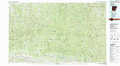 |
Mountain View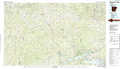 |
Batesville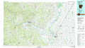 |
Russellville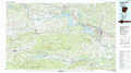 |
Conway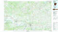 |
Searcy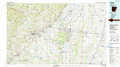 |
Lake Ouachita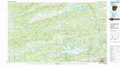 |
Little Rock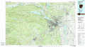 |
Brinkley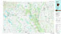 |
> Back to 35092a1 at 1:250,000 scale
> Back to U.S. Topo Maps home
1:24,000 Topo Quads covered by the spatial extent of this 100k map (Conway)
|
Hector 
|
Jerusalem 
|
Cleveland 
|
Formosa 
|
Bee Branch 
|
Morganton 
|
Quitman 
|
Heber Springs 
|
|
Moreland 
|
Hattieville 
|
Solgohachia 
|
Springfield 
|
Damascus 
|
Guy 
|
Barney 
|
Rose Bud 
|
|
Atkins 
|
Morrilton West 
|
Morrilton East 
|
Menifee 
|
Greenbrier 
|
Holland 
|
Enola 
|
Mount Vernon 
|
|
Adona 
|
Perryville 
|
Houston 
|
Gleason 
|
Conway 
|
Hamlet 
|
Vilonia 
|
Mountain Springs 
|