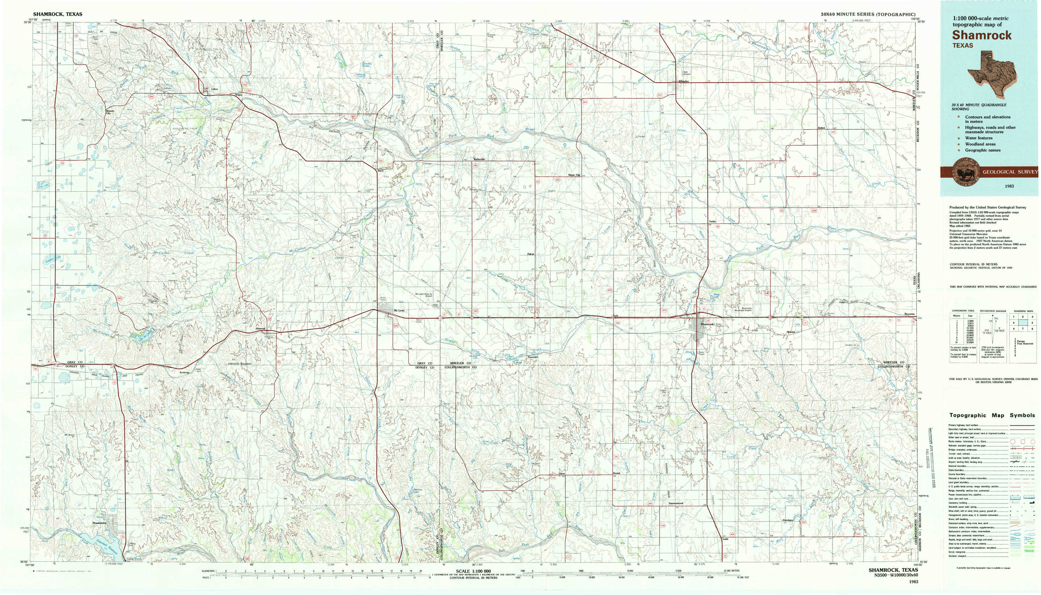
Shamrock Topo Map Texas
To zoom in, hover over the map of Shamrock
USGS Topo Map 35100a1 - 1:100,000 scale
| Topo Map Name: | Shamrock |
| USGS Topo Quad ID: | 35100a1 |
| Print Size: | ca. 39" wide x 24" high |
| Southeast Coordinates: | 35° N latitude / 100° W longitude |
| Map Center Coordinates: | 35.25° N latitude / 100.5° W longitude |
| U.S. State: | TX |
| Filename: | 35100a1.jpg |
| Download Map JPG Image: | Shamrock topo map 1:100,000 scale |
| Map Type: | Topographic |
| Topo Series: | 30´x60´ |
| Map Scale: | 1:100,000 |
| Source of Map Images: | United States Geological Survey (USGS) |
| Alternate Map Versions: |
Shamrock TX 1983, updated 1983 Download PDF Buy paper map |
1:100,000 Topos surrounding Shamrock
Borger |
Pampa |
Foss Reservoir |
Amarillo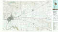 |
Shamrock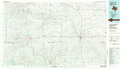 |
Elk City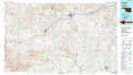 |
Tulia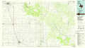 |
Wellington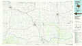 |
Altus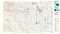 |
> Back to 35100a1 at 1:250,000 scale
> Back to U.S. Topo Maps home
1:24,000 Topo Quads covered by the spatial extent of this 100k map (Shamrock)
|
Bowers City 
|
Lefors 
|
Pond Creek Nw 
|
Pond Creek 
|
Spring Creek 
|
Wheeler 
|
Kelton Nw 
|
Kelton 
|
|
Deep Lake 
|
Taylor Ranch 
|
Hudgens Ranch 
|
Back 
|
Pakan 
|
Wheeler Se 
|
Twitty 
|
Kelton Se 
|
|
Jericho 
|
Rockledge 
|
Alanreed 
|
Mclean 
|
Ramsdell 
|
Shamrock West 
|
Shamrock East 
|
Fuller 
|
|
Roach Ranch 
|
Griffin Ranch 
|
Troublesome Creek 
|
Spencer Lake 
|
Abra 
|
Dozier 
|
Lutie 
|
Little Wolf Creek 
|