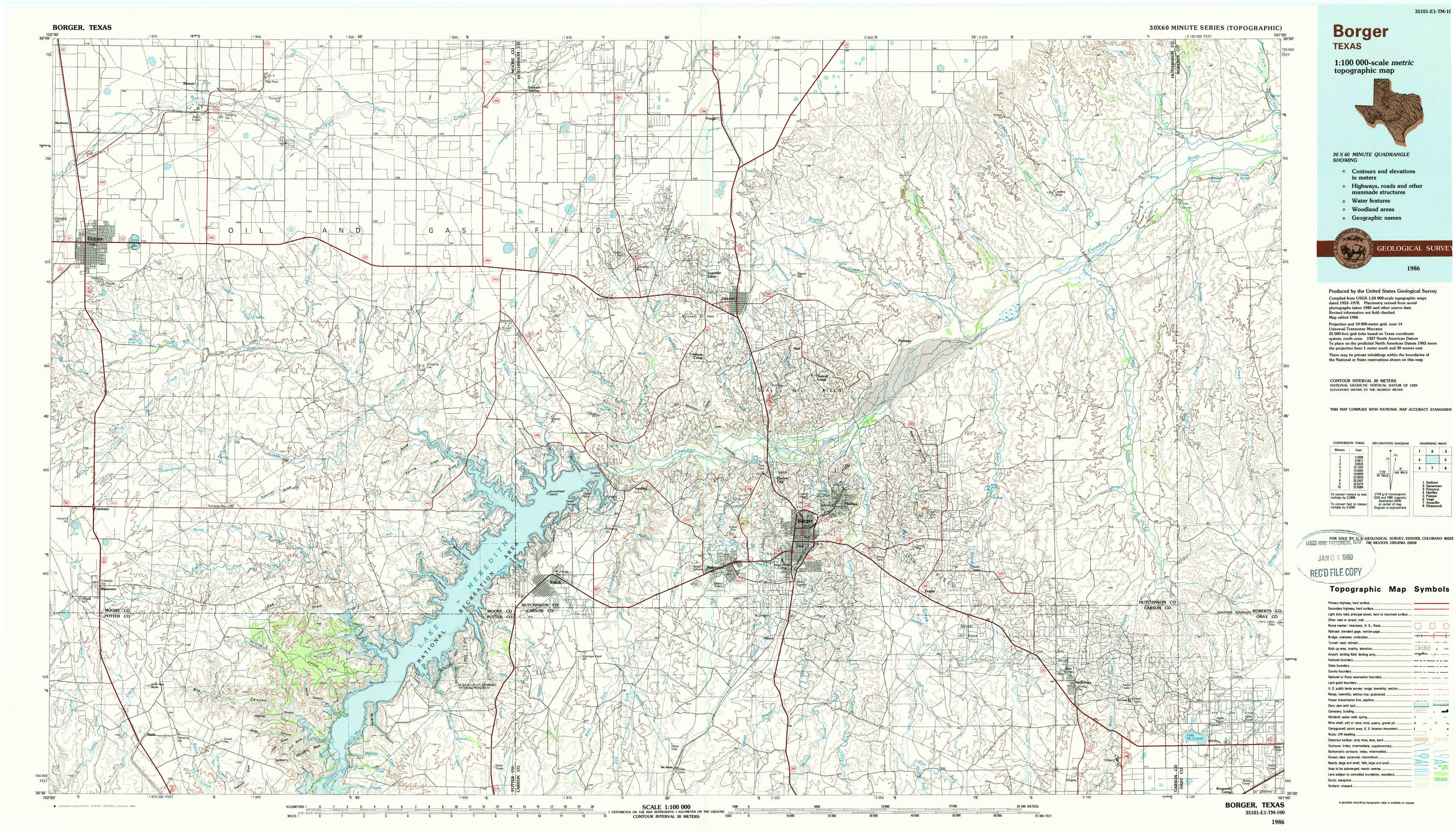
Borger Topo Map Texas
To zoom in, hover over the map of Borger
USGS Topo Map 35101e1 - 1:100,000 scale
| Topo Map Name: | Borger |
| USGS Topo Quad ID: | 35101e1 |
| Print Size: | ca. 39" wide x 24" high |
| Southeast Coordinates: | 35.5° N latitude / 101° W longitude |
| Map Center Coordinates: | 35.75° N latitude / 101.5° W longitude |
| U.S. State: | TX |
| Filename: | 35101e1.jpg |
| Download Map JPG Image: | Borger topo map 1:100,000 scale |
| Map Type: | Topographic |
| Topo Series: | 30´x60´ |
| Map Scale: | 1:100,000 |
| Source of Map Images: | United States Geological Survey (USGS) |
| Alternate Map Versions: |
Borger TX 1986, updated 1986 Download PDF Buy paper map Borger TX 1986, updated 1989 Download PDF Buy paper map |
1:100,000 Topos surrounding Borger
Dalhart |
Spearman |
Perryton |
Hartley |
Borger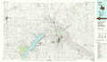 |
Pampa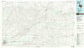 |
Vega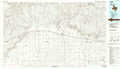 |
Amarillo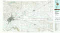 |
Shamrock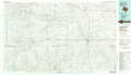 |
> Back to 35100a1 at 1:250,000 scale
> Back to U.S. Topo Maps home
1:24,000 Topo Quads covered by the spatial extent of this 100k map (Borger)
|
Dumas North 
|
Dumas Ne 
|
Pollard Creek Nw 
|
Pollard Creek Ne 
|
Pringle 
|
Stinnett Station 
|
Adobe Creek 
|
Garden Springs 
|
|
Dumas South 
|
Little Blue Creek 
|
Pollard Creek 
|
Camp Creek 
|
Stinnett 
|
Plemons 
|
Adobe Creek Sw 
|
Adobe Creek Se 
|
|
Masterson 
|
Spencer Draw 
|
Evans Canyon 
|
Sanford 
|
Borger 
|
Phillips 
|
Skellytown Nw 
|
Skellytown Ne 
|
|
Marsh 
|
Mcdowell Creek 
|
Alibates Ranch 
|
Deal 
|
Mcbride 
|
Borger Se 
|
Skellytown 
|
Lake Mcconnell 
|