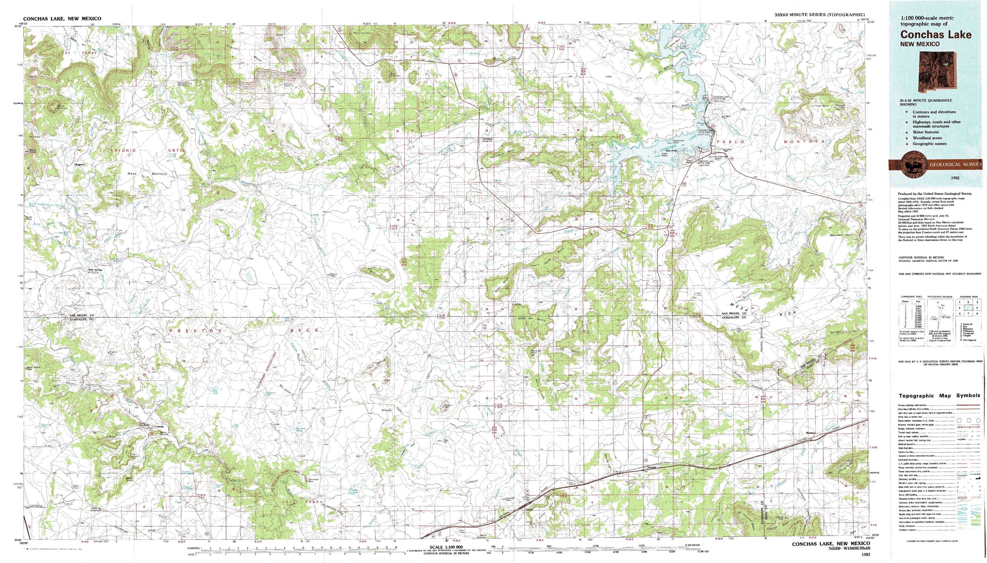
Conchas Lake Topo Map New Mexico
To zoom in, hover over the map of Conchas Lake
USGS Topo Map 35104a1 - 1:100,000 scale
| Topo Map Name: | Conchas Lake |
| USGS Topo Quad ID: | 35104a1 |
| Print Size: | ca. 39" wide x 24" high |
| Southeast Coordinates: | 35° N latitude / 104° W longitude |
| Map Center Coordinates: | 35.25° N latitude / 104.5° W longitude |
| U.S. State: | NM |
| Filename: | 35104a1.jpg |
| Download Map JPG Image: | Conchas Lake topo map 1:100,000 scale |
| Map Type: | Topographic |
| Topo Series: | 30´x60´ |
| Map Scale: | 1:100,000 |
| Source of Map Images: | United States Geological Survey (USGS) |
| Alternate Map Versions: | none available in database |
1:100,000 Topos surrounding Conchas Lake
Santa Fe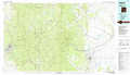 |
Roy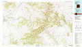 |
Mosquero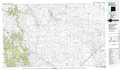 |
Villanueva |
Conchas Lake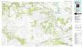 |
Tucumcari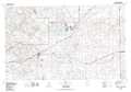 |
Vaughn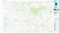 |
Santa Rosa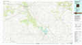 |
The Caprock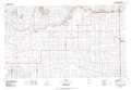 |
> Back to 35104a1 at 1:250,000 scale
> Back to U.S. Topo Maps home
1:24,000 Topo Quads covered by the spatial extent of this 100k map (Conchas Lake)
|
Mesa Lauriano 
|
Flagstone Mountain 
|
Punta Del Chorro 
|
Cerro De Corazon 
|
Variadero 
|
Four V Ranch 
|
Conchas Dam 
|
La Cinta Mesa 
|
|
Chaperito 
|
Cactus Tank 
|
Cabra Hill 
|
Mesa Pino 
|
La Silla 
|
Bookout Ranch 
|
Tenaja Mesa 
|
Monument Point 
|
|
Pedro Miguel Peak 
|
Horse Pasture Tank 
|
Bar Y Ranch 
|
Mesa Cherisco 
|
Mesita Del Gato 
|
Neafus Ranch 
|
Ortega Tank 
|
Muniz Canyon 
|
|
Mesita De Guadalupe 
|
Colonias 
|
Catfish Falls 
|
Sacaton Draw 
|
Cuervo 
|
Newkirk 
|
Gate Canyon 
|
Montoya 
|