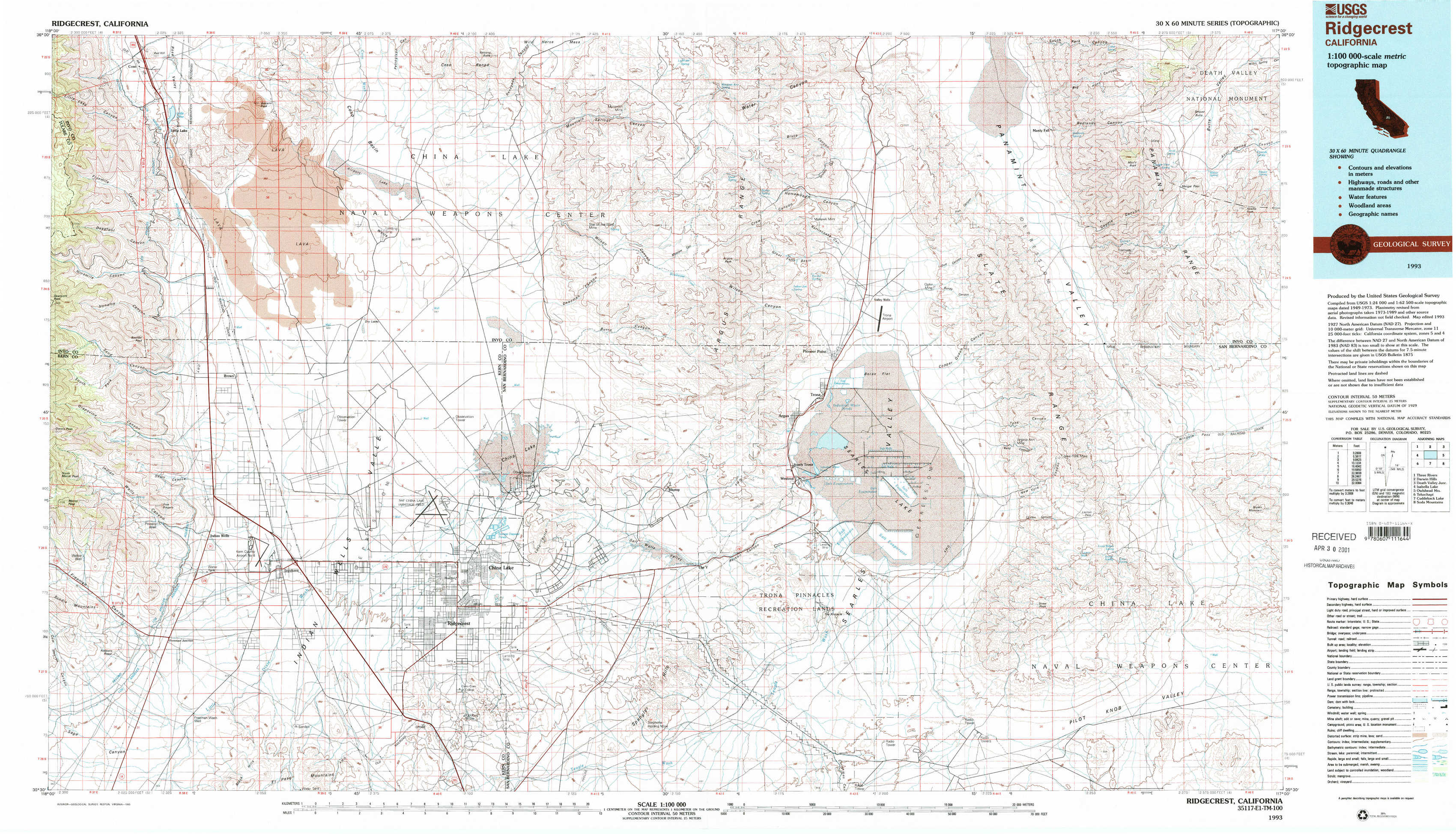
Ridgecrest Topo Map California
To zoom in, hover over the map of Ridgecrest
USGS Topo Map 35117e1 - 1:100,000 scale
| Topo Map Name: | Ridgecrest |
| USGS Topo Quad ID: | 35117e1 |
| Print Size: | ca. 39" wide x 24" high |
| Southeast Coordinates: | 35.5° N latitude / 117° W longitude |
| Map Center Coordinates: | 35.75° N latitude / 117.5° W longitude |
| U.S. State: | CA |
| Filename: | 35117e1.jpg |
| Download Map JPG Image: | Ridgecrest topo map 1:100,000 scale |
| Map Type: | Topographic |
| Topo Series: | 30´x60´ |
| Map Scale: | 1:100,000 |
| Source of Map Images: | United States Geological Survey (USGS) |
| Alternate Map Versions: |
Ridgecrest CA 1993, updated 1993 Download PDF Buy paper map Ridgecrest CA 1993, updated 1993 Download PDF Buy paper map |
1:100,000 Topos surrounding Ridgecrest
Three Rivers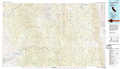 |
Darwin Hills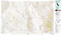 |
Death Valley Junction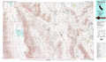 |
Isabella Lake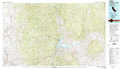 |
Ridgecrest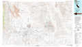 |
Owlshead Mountains |
Tehachapi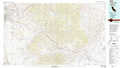 |
Cuddeback Lake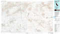 |
Soda Mountains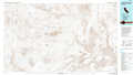 |
> Back to 35116a1 at 1:250,000 scale
> Back to U.S. Topo Maps home
1:24,000 Topo Quads covered by the spatial extent of this 100k map (Ridgecrest)
|
Little Lake 
|
Volcano Peak 
|
Airport Lake 
|
Mountain Springs Canyon 
|
Homewood Canyon 
|
Slate Range Crossing 
|
Manly Fall 
|
Manly Peak 
|
|
Ninemile Canyon 
|
Pearsonville 
|
White Hills 
|
Burro Canyon 
|
Trona West 
|
Trona East 
|
Copper Queen Canyon 
|
Sourdough Spring 
|
|
Owens Peak 
|
Inyokern 
|
Ridgecrest North 
|
Lone Butte 
|
Westend 
|
Searles Lake 
|
Layton Spring 
|
Wingate Pass 
|
|
Freeman Junction 
|
Inyokern Se 
|
Ridgecrest South 
|
Spangler Hills West 
|
Spangler Hills East 
|
Christmas Canyon 
|
Pilot Knob Valley West 
|
Pilot Knob Valley East 
|