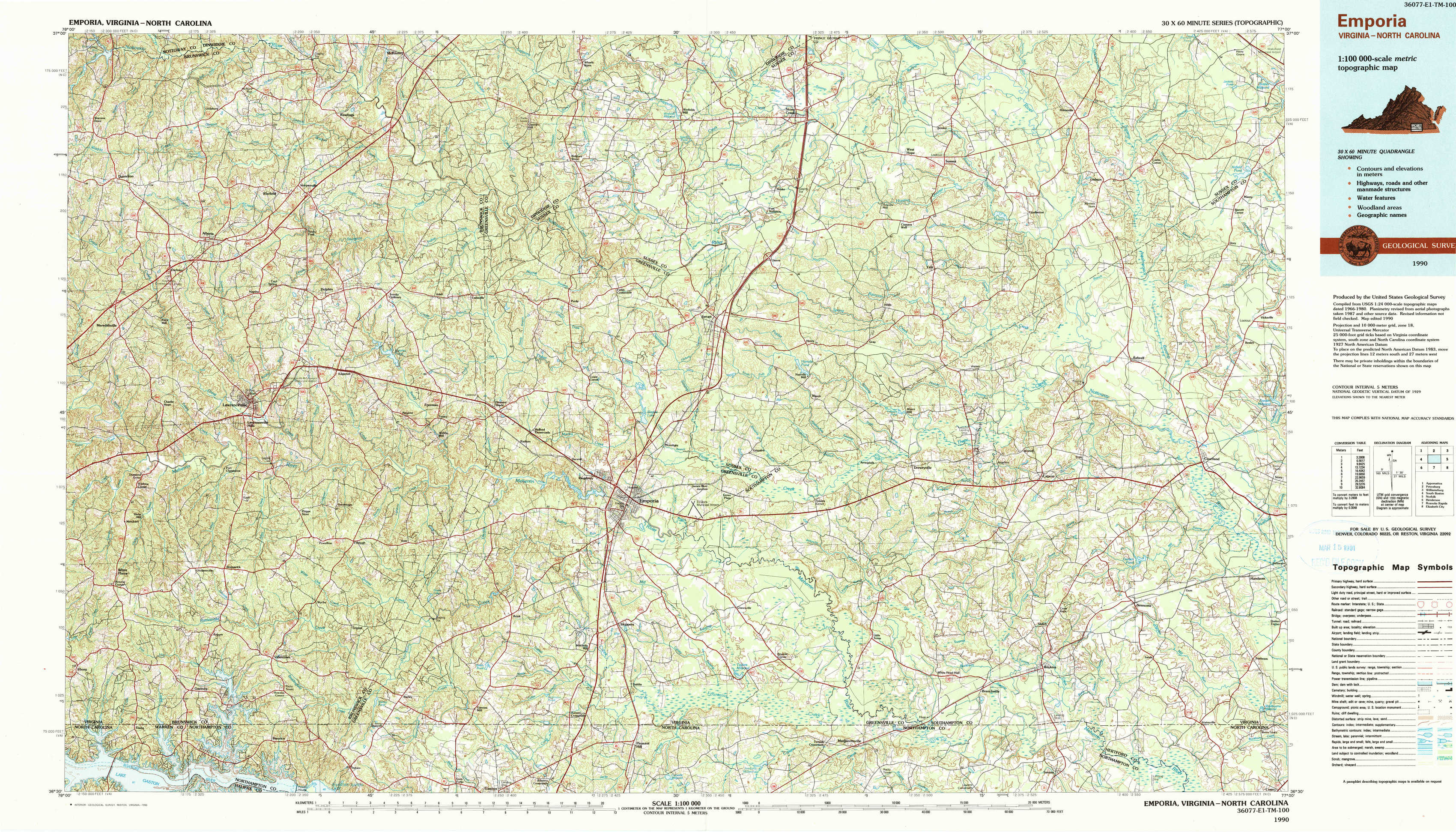
Emporia Topo Map Virginia
To zoom in, hover over the map of Emporia
USGS Topo Map 36077e1 - 1:100,000 scale
| Topo Map Name: | Emporia |
| USGS Topo Quad ID: | 36077e1 |
| Print Size: | ca. 39" wide x 24" high |
| Southeast Coordinates: | 36.5° N latitude / 77° W longitude |
| Map Center Coordinates: | 36.75° N latitude / 77.5° W longitude |
| U.S. States: | VA, NC |
| Filename: | 36077e1.jpg |
| Download Map JPG Image: | Emporia topo map 1:100,000 scale |
| Map Type: | Topographic |
| Topo Series: | 30´x60´ |
| Map Scale: | 1:100,000 |
| Source of Map Images: | United States Geological Survey (USGS) |
| Alternate Map Versions: |
Emporia VA 1984, updated 1986 Download PDF Buy paper map Emporia VA 1990, updated 1990 Download PDF Buy paper map |
1:100,000 Topos surrounding Emporia
Appomattox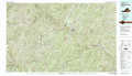 |
Petersburg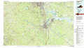 |
Williamsburg |
South Boston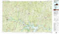 |
Emporia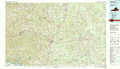 |
Norfolk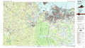 |
Henderson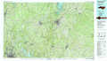 |
Roanoke Rapids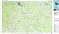 |
Elizabeth City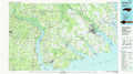 |
> Back to 36076a1 at 1:250,000 scale
> Back to U.S. Topo Maps home
1:24,000 Topo Quads covered by the spatial extent of this 100k map (Emporia)
|
Danieltown 
|
Warfield 
|
Mckenney 
|
Cherry Hill 
|
Stony Creek 
|
Sussex 
|
Littleton 
|
Manry 
|
|
Alberta 
|
Lawrenceville 
|
Smoky Ordinary 
|
Purdy 
|
Jarratt 
|
Yale 
|
Sebrell 
|
Vicksville 
|
|
White Plains 
|
Powellton 
|
Ante 
|
Emporia 
|
Adams Grove 
|
Drewryville 
|
Capron 
|
Courtland 
|
|
Gasburg 
|
Valentines 
|
Barley 
|
Skippers 
|
Claresville 
|
Margarettsville 
|
Boykins 
|
Sunbeam 
|