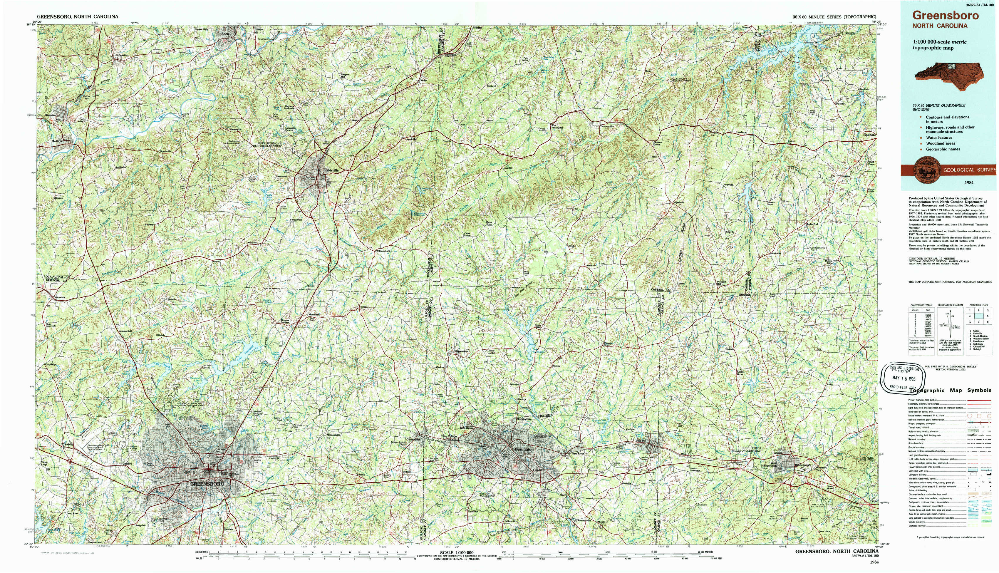
Greensboro Topo Map North Carolina
To zoom in, hover over the map of Greensboro
USGS Topo Map 36079a1 - 1:100,000 scale
| Topo Map Name: | Greensboro |
| USGS Topo Quad ID: | 36079a1 |
| Print Size: | ca. 39" wide x 24" high |
| Southeast Coordinates: | 36° N latitude / 79° W longitude |
| Map Center Coordinates: | 36.25° N latitude / 79.5° W longitude |
| U.S. State: | NC |
| Filename: | 36079a1.jpg |
| Download Map JPG Image: | Greensboro topo map 1:100,000 scale |
| Map Type: | Topographic |
| Topo Series: | 30´x60´ |
| Map Scale: | 1:100,000 |
| Source of Map Images: | United States Geological Survey (USGS) |
| Alternate Map Versions: |
Greensboro NC 1984, updated 1984 Download PDF Buy paper map |
1:100,000 Topos surrounding Greensboro
Galax |
Danville |
South Boston |
Winston-Salem |
Greensboro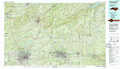 |
Henderson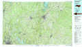 |
Salisbury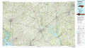 |
Chapel Hill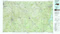 |
Raleigh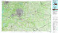 |
> Back to 36078a1 at 1:250,000 scale
> Back to U.S. Topo Maps home
1:24,000 Topo Quads covered by the spatial extent of this 100k map (Greensboro)
|
Mayodan 
|
Southwest Eden 
|
Southeast Eden 
|
Ruffin 
|
Park Spring 
|
Yanceyville 
|
Leasburg 
|
Olive Hill 
|
|
Ellisboro 
|
Bethany 
|
Reidsville 
|
Williamsburg 
|
Cherry Grove 
|
Anderson 
|
Ridgeville 
|
Hurdle Mills 
|
|
Summerfield 
|
Lake Brandt 
|
Browns Summit 
|
Ossipee 
|
Lake Burlington 
|
Burlington Ne 
|
Cedar Grove 
|
Caldwell 
|
|
Guilford 
|
Greensboro 
|
Mcleansville 
|
Gibsonville 
|
Burlington 
|
Mebane 
|
Efland 
|
Hillsborough 
|