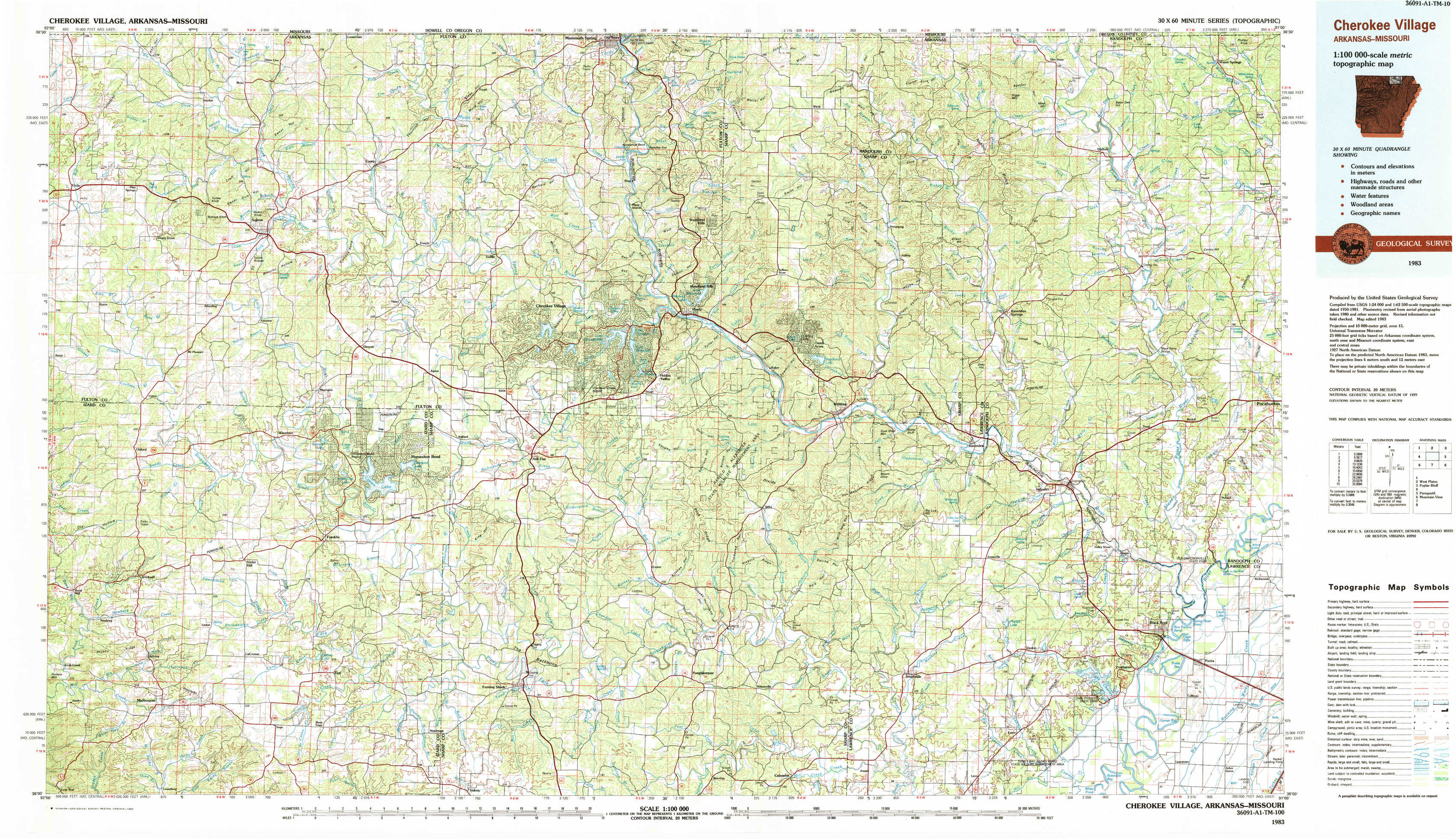
Cherokee Village Topo Map Arkansas
To zoom in, hover over the map of Cherokee Village
USGS Topo Map 36091a1 - 1:100,000 scale
| Topo Map Name: | Cherokee Village |
| USGS Topo Quad ID: | 36091a1 |
| Print Size: | ca. 39" wide x 24" high |
| Southeast Coordinates: | 36° N latitude / 91° W longitude |
| Map Center Coordinates: | 36.25° N latitude / 91.5° W longitude |
| U.S. States: | AR, MO |
| Filename: | 36091a1.jpg |
| Download Map JPG Image: | Cherokee Village topo map 1:100,000 scale |
| Map Type: | Topographic |
| Topo Series: | 30´x60´ |
| Map Scale: | 1:100,000 |
| Source of Map Images: | United States Geological Survey (USGS) |
| Alternate Map Versions: |
Cherokee Village AR 1983, updated 1983 Download PDF Buy paper map |
1:100,000 Topos surrounding Cherokee Village
Ava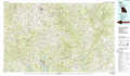 |
West Plains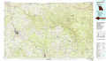 |
Poplar Bluff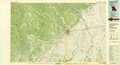 |
Bull Shoals Lake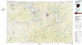 |
Cherokee Village |
Paragould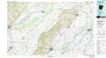 |
Mountain View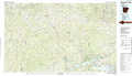 |
Batesville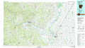 |
Jonesboro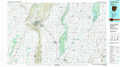 |
> Back to 36090a1 at 1:250,000 scale
> Back to U.S. Topo Maps home
1:24,000 Topo Quads covered by the spatial extent of this 100k map (Cherokee Village)
|
Viola 
|
Salem Knob 
|
Camp 
|
Mammoth Spring 
|
Wirth 
|
Hardy Ne 
|
Dalton 
|
Warm Springs 
|
|
Byron 
|
Salem 
|
Agnos 
|
Stuart 
|
Hardy 
|
Williford 
|
Ravenden Springs 
|
Ravenden Springs Se 
|
|
Oxford 
|
Franklin 
|
Myron 
|
Ash Flat 
|
Sitka 
|
Ravenden 
|
Imboden 
|
Noland 
|
|
Melbourne 
|
Zion 
|
Sidney 
|
Evening Shade 
|
Poughkeepsie 
|
Smithville 
|
Eaton 
|
Black Rock 
|