Boise City Topo Map Oklahoma
To zoom in, hover over the map of Boise City
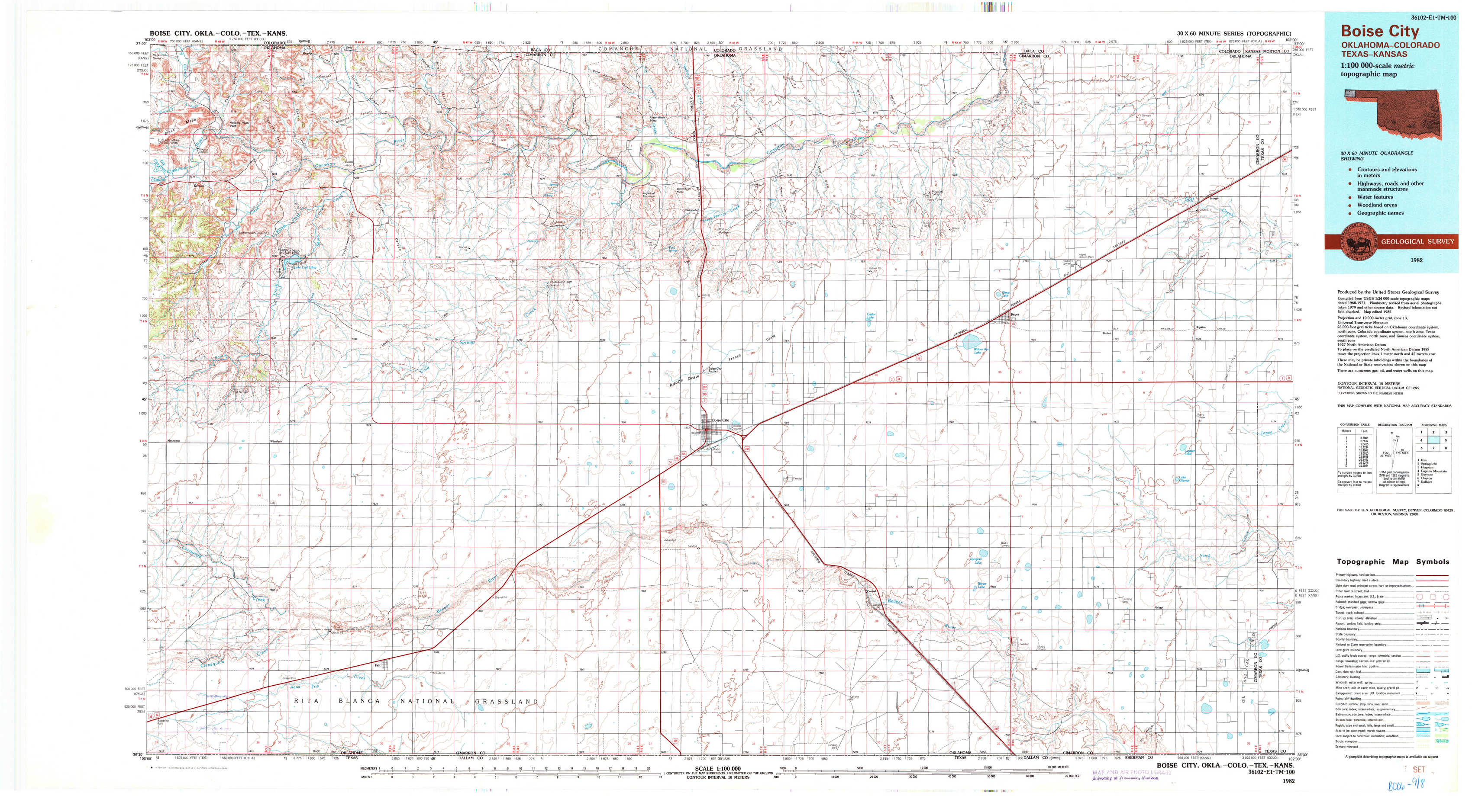
USGS Topo Map 36102e1 - 1:100,000 scale
| Topo Map Name: | Boise City |
| USGS Topo Quad ID: | 36102e1 |
| Print Size: | ca. 39" wide x 24" high |
| Southeast Coordinates: | 36.5° N latitude / 102° W longitude |
| Map Center Coordinates: | 36.75° N latitude / 102.5° W longitude |
| U.S. States: | OK, CO, KS |
| Filename: | 36102e1.jpg |
| Download Map JPG Image: | Boise City topo map 1:100,000 scale |
| Map Type: | Topographic |
| Topo Series: | 30´x60´ |
| Map Scale: | 1:100,000 |
| Source of Map Images: | United States Geological Survey (USGS) |
| Alternate Map Versions: |
Boise City OK 1982, updated 1982 Download PDF Buy paper map |
1:100,000 Topos surrounding Boise City
Kim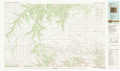 |
Springfield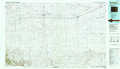 |
Hugoton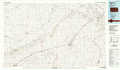 |
Capulin Mountain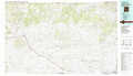 |
Boise City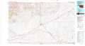 |
Guymon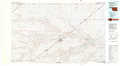 |
Clayton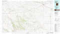 |
Dalhart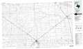 |
Spearman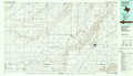 |
> Back to 36102a1 at 1:250,000 scale
> Back to U.S. Topo Maps home
1:24,000 Topo Quads covered by the spatial extent of this 100k map (Boise City)
|
Kenton 
|
Kenton Ne 
|
Autograph Cliff Nw 
|
Razor Blade Mesa 
|
Keyes Nw 
|
Keyes Ne 
|
Sturgis Nw 
|
Sturgis 
|
|
Kenton Sw 
|
Kenton Se 
|
Autograph Cliff 
|
Flagg Springs 
|
Keyes Sw 
|
Keyes West 
|
Keyes East 
|
Hopkins 
|
|
Wheeless 
|
Felt Ne 
|
Boise City Nw 
|
Boise City 
|
Conrad Nw 
|
Sampsel Lake 
|
Griggs Nw 
|
Griggs Ne 
|
|
Felt Sw 
|
Felt 
|
Boise City Sw 
|
Boise City Se 
|
Conrad Sw 
|
Conrad 
|
Griggs Sw 
|
Griggs 
|