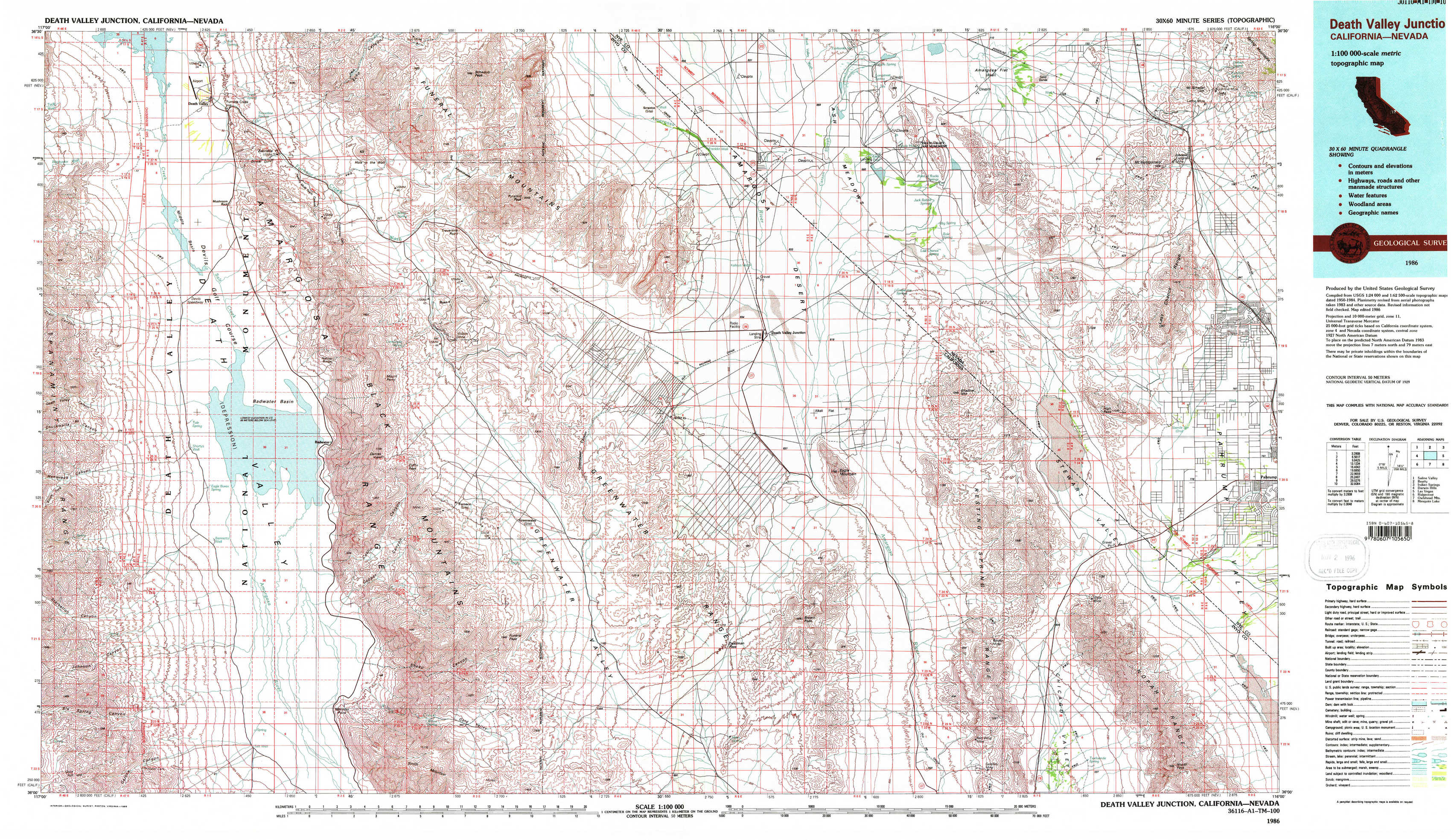
Death Valley Junction Topo Map California
To zoom in, hover over the map of Death Valley Junction
USGS Topo Map 36116a1 - 1:100,000 scale
| Topo Map Name: | Death Valley Junction |
| USGS Topo Quad ID: | 36116a1 |
| Print Size: | ca. 39" wide x 24" high |
| Southeast Coordinates: | 36° N latitude / 116° W longitude |
| Map Center Coordinates: | 36.25° N latitude / 116.5° W longitude |
| U.S. States: | CA, NV |
| Filename: | 36116a1.jpg |
| Download Map JPG Image: | Death Valley Junction topo map 1:100,000 scale |
| Map Type: | Topographic |
| Topo Series: | 30´x60´ |
| Map Scale: | 1:100,000 |
| Source of Map Images: | United States Geological Survey (USGS) |
| Alternate Map Versions: |
Death Valley Junction CA 1986, updated 1986 Download PDF Buy paper map |
1:100,000 Topos surrounding Death Valley Junction
Saline Valley |
Beatty |
Indian Springs |
Darwin Hills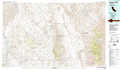 |
Death Valley Junction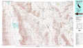 |
Las Vegas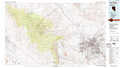 |
Ridgecrest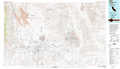 |
Owlshead Mountains |
Mesquite Lake |
> Back to 36116a1 at 1:250,000 scale
> Back to U.S. Topo Maps home
1:24,000 Topo Quads covered by the spatial extent of this 100k map (Death Valley Junction)
|
East Of Furnace Creek 
|
Furnace Creek 
|
Echo Canyon 
|
East Of Echo Canyon 
|
Franklin Well 
|
Devils Hole 
|
Amargosa Flat 
|
Mount Schader 
|
|
Devils Speedway 
|
Devils Golf Course 
|
Ryan 
|
East Of Ryan 
|
Death Valley Junction 
|
Bole Spring 
|
High Peak 
|
Last Chance Range 
|
|
Hanaupah Canyon 
|
Badwater 
|
Dantes View 
|
Greenwater Canyon 
|
West Of Eagle Mountain 
|
Eagle Mountain 
|
Stewart Valley 
|
Sixmile Spring 
|
|
Galena Canyon 
|
Mormon Point 
|
Gold Valley 
|
Funeral Peak 
|
Deadman Pass 
|
East Of Deadman Pass 
|
Twelve Mile Spring 
|
Nopah Peak 
|