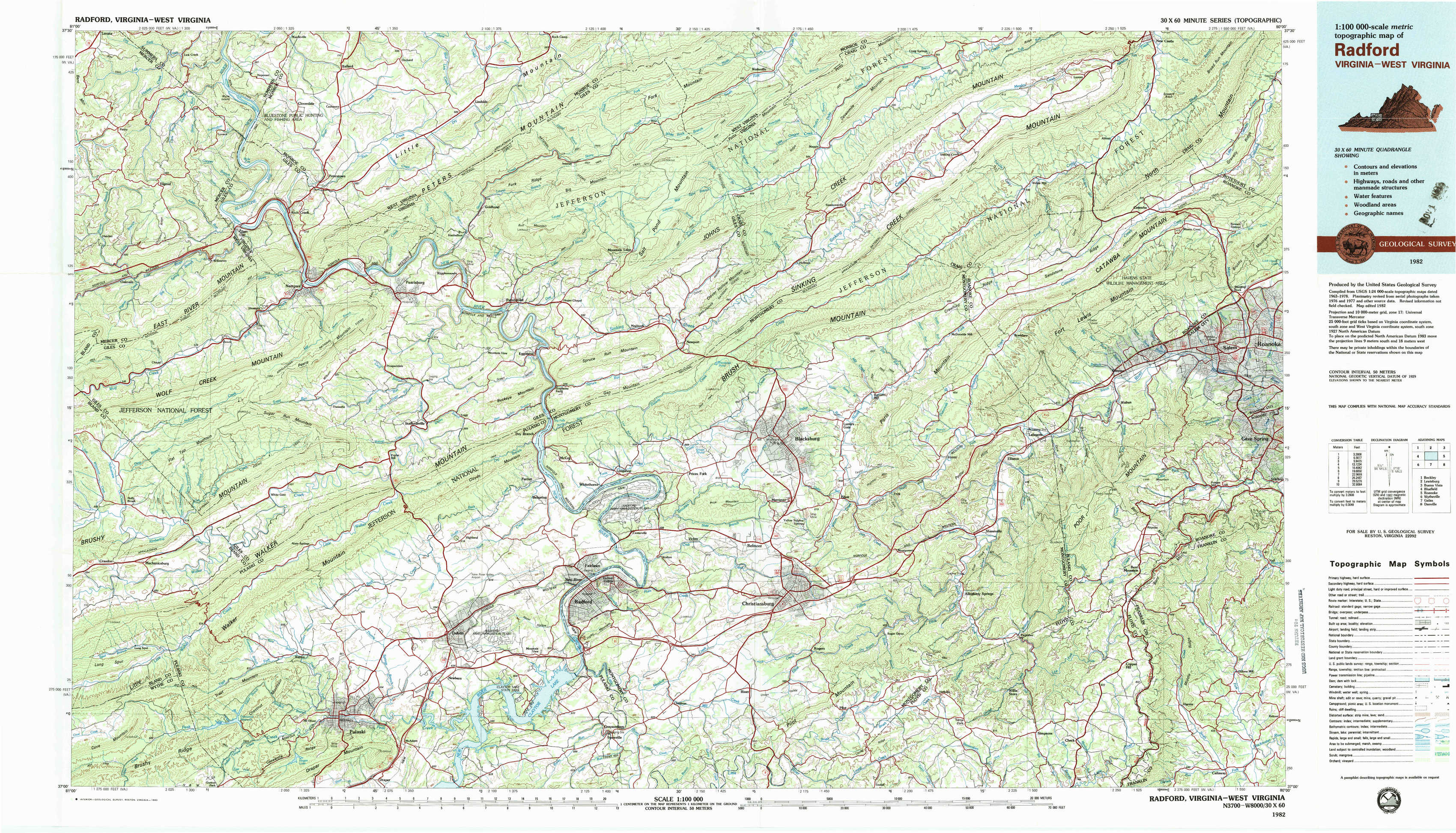
Radford Topo Map Virginia
To zoom in, hover over the map of Radford
USGS Topo Map 37080a1 - 1:100,000 scale
| Topo Map Name: | Radford |
| USGS Topo Quad ID: | 37080a1 |
| Print Size: | ca. 39" wide x 24" high |
| Southeast Coordinates: | 37° N latitude / 80° W longitude |
| Map Center Coordinates: | 37.25° N latitude / 80.5° W longitude |
| U.S. States: | VA, WV |
| Filename: | 37080a1.jpg |
| Download Map JPG Image: | Radford topo map 1:100,000 scale |
| Map Type: | Topographic |
| Topo Series: | 30´x60´ |
| Map Scale: | 1:100,000 |
| Source of Map Images: | United States Geological Survey (USGS) |
| Alternate Map Versions: |
Radford VA 1982, updated 1983 Download PDF Buy paper map Radford VA 1982, updated 1983 Download PDF Buy paper map |
1:100,000 Topos surrounding Radford
Beckley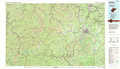 |
Lewisburg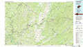 |
Buena Vista |
Bluefield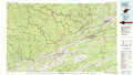 |
Radford |
Roanoke |
Wytheville |
Galax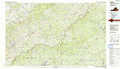 |
Danville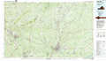 |
> Back to 37080a1 at 1:250,000 scale
> Back to U.S. Topo Maps home
1:24,000 Topo Quads covered by the spatial extent of this 100k map (Radford)
|
Lerona 
|
Peterstown 
|
Lindside 
|
Interior 
|
Waiteville 
|
Craig Springs 
|
Looney 
|
Catawba 
|
|
Oakvale 
|
Narrows 
|
Pearisburg 
|
Eggleston 
|
Newport 
|
Mcdonalds Mill 
|
Glenvar 
|
Salem 
|
|
Mechanicsburg 
|
White Gate 
|
Staffordsville 
|
Radford North 
|
Blacksburg 
|
Ironto 
|
Elliston 
|
Bent Mountain 
|
|
Long Spur 
|
Pulaski 
|
Dublin 
|
Radford South 
|
Riner 
|
Pilot 
|
Check 
|
Callaway 
|