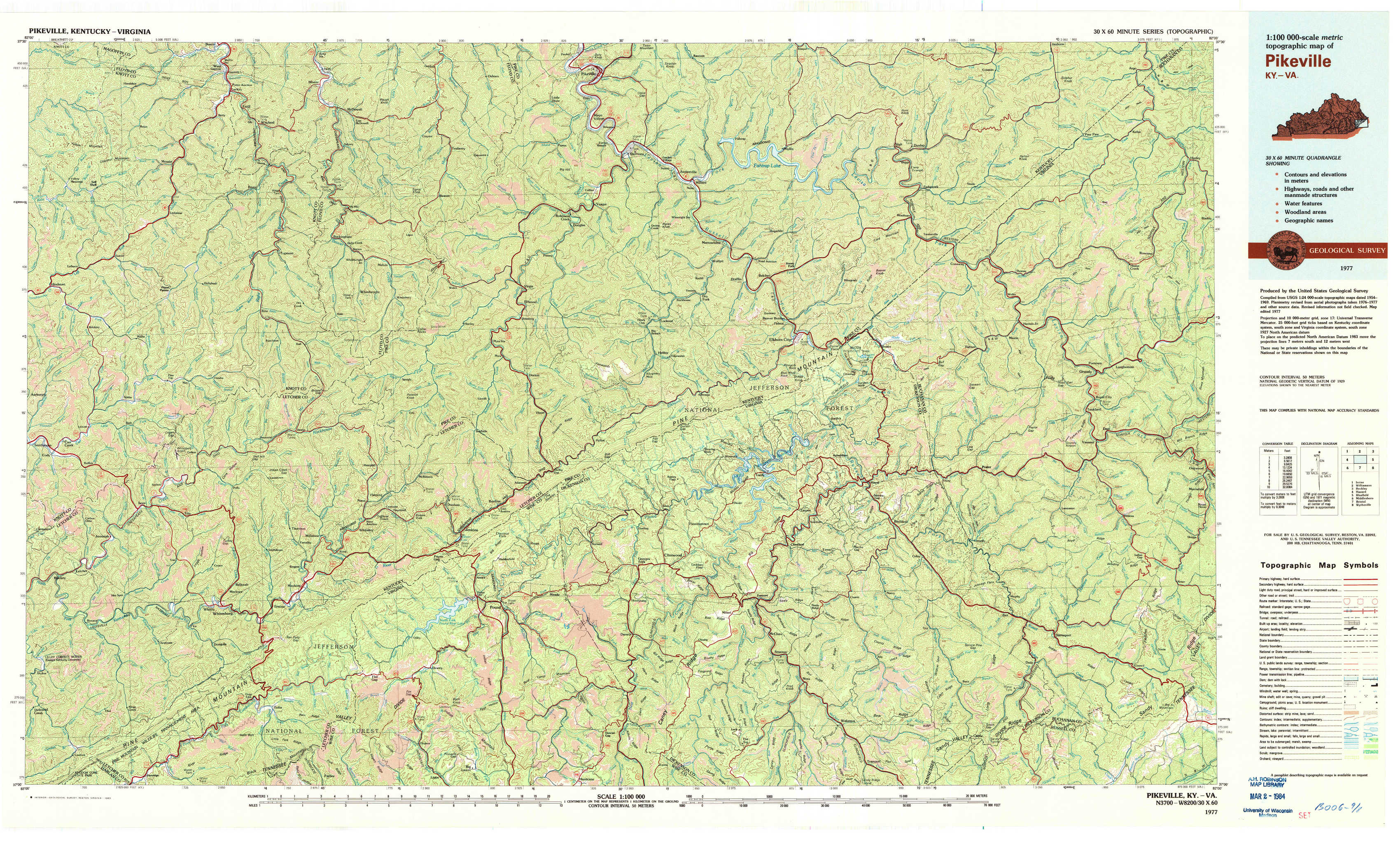
Pikeville Topo Map Kentucky
To zoom in, hover over the map of Pikeville
USGS Topo Map 37082a1 - 1:100,000 scale
| Topo Map Name: | Pikeville |
| USGS Topo Quad ID: | 37082a1 |
| Print Size: | ca. 39" wide x 24" high |
| Southeast Coordinates: | 37° N latitude / 82° W longitude |
| Map Center Coordinates: | 37.25° N latitude / 82.5° W longitude |
| U.S. States: | KY, VA |
| Filename: | 37082a1.jpg |
| Download Map JPG Image: | Pikeville topo map 1:100,000 scale |
| Map Type: | Topographic |
| Topo Series: | 30´x60´ |
| Map Scale: | 1:100,000 |
| Source of Map Images: | United States Geological Survey (USGS) |
| Alternate Map Versions: |
Pikeville KY 1977, updated 1983 Download PDF Buy paper map |
1:100,000 Topos surrounding Pikeville
Irvine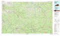 |
Williamson |
Beckley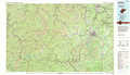 |
Hazard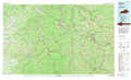 |
Pikeville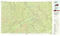 |
Bluefield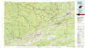 |
Middlesboro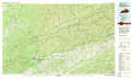 |
Bristol |
Wytheville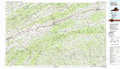 |
> Back to 37082a1 at 1:250,000 scale
> Back to U.S. Topo Maps home
1:24,000 Topo Quads covered by the spatial extent of this 100k map (Pikeville)
|
Handshoe 
|
Wayland 
|
Mcdowell 
|
Pikeville 
|
Millard 
|
Lick Creek 
|
Jamboree 
|
Hurley 
|
|
Hindman 
|
Kite 
|
Wheelwright 
|
Dorton 
|
Hellier 
|
Elkhorn City 
|
Harman 
|
Grundy 
|
|
Blackey 
|
Mayking 
|
Jenkins West 
|
Jenkins East 
|
Clintwood 
|
Haysi 
|
Prater 
|
Vansant 
|
|
Roxana 
|
Whitesburg 
|
Flat Gap 
|
Pound 
|
Caney Ridge 
|
Nora 
|
Duty 
|
Big A Mountain 
|